Fort Gates, TX
Fort Gates, TX Map
Fort Gates is a US city in Coryell County in the state of Texas. Located at the longitude and latitude of -97.707778, 31.399722 and situated at an elevation of 238 meters. In the 2020 United States Census, Fort Gates, TX had a population of 913 people. Fort Gates is in the Central Standard Time timezone at Coordinated Universal Time (UTC) -6. Find directions to Fort Gates, TX, browse local businesses, landmarks, get current traffic estimates, road conditions, and more.
Fort Gates, Texas, is a small town with a rich historical background, primarily known for its origins as a military outpost. Established in the mid-19th century, Fort Gates served as a protective garrison during the period of westward expansion, aimed at safeguarding settlers from potential conflicts. Although the fort itself is no longer operational, the town retains a sense of its historical roots, with remnants and stories of its past still evident in the community's character and local lore.
Visitors to Fort Gates can explore a variety of historical sites and local attractions. The town's historical society often organizes events and tours that delve into its military past, providing a comprehensive look at the role it played in Texas history. Additionally, the surrounding natural landscapes offer opportunities for outdoor activities such as hiking and bird-watching, allowing visitors to appreciate the scenic beauty of this historical region. Fort Gates offers a quiet, reflective atmosphere for those interested in exploring the less-traveled paths of Texan history.
Nearby cities include: Gatesville, TX, South Mountain, TX, Mound, TX, Flat, TX, Ames, TX, Oglesby, TX, McGregor, TX, Crawford, TX, Killeen, TX, Moody, TX.
Places in Fort Gates
Dine and drink
Eat and drink your way through town.


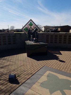
Can't-miss activities
Culture, natural beauty, and plain old fun.


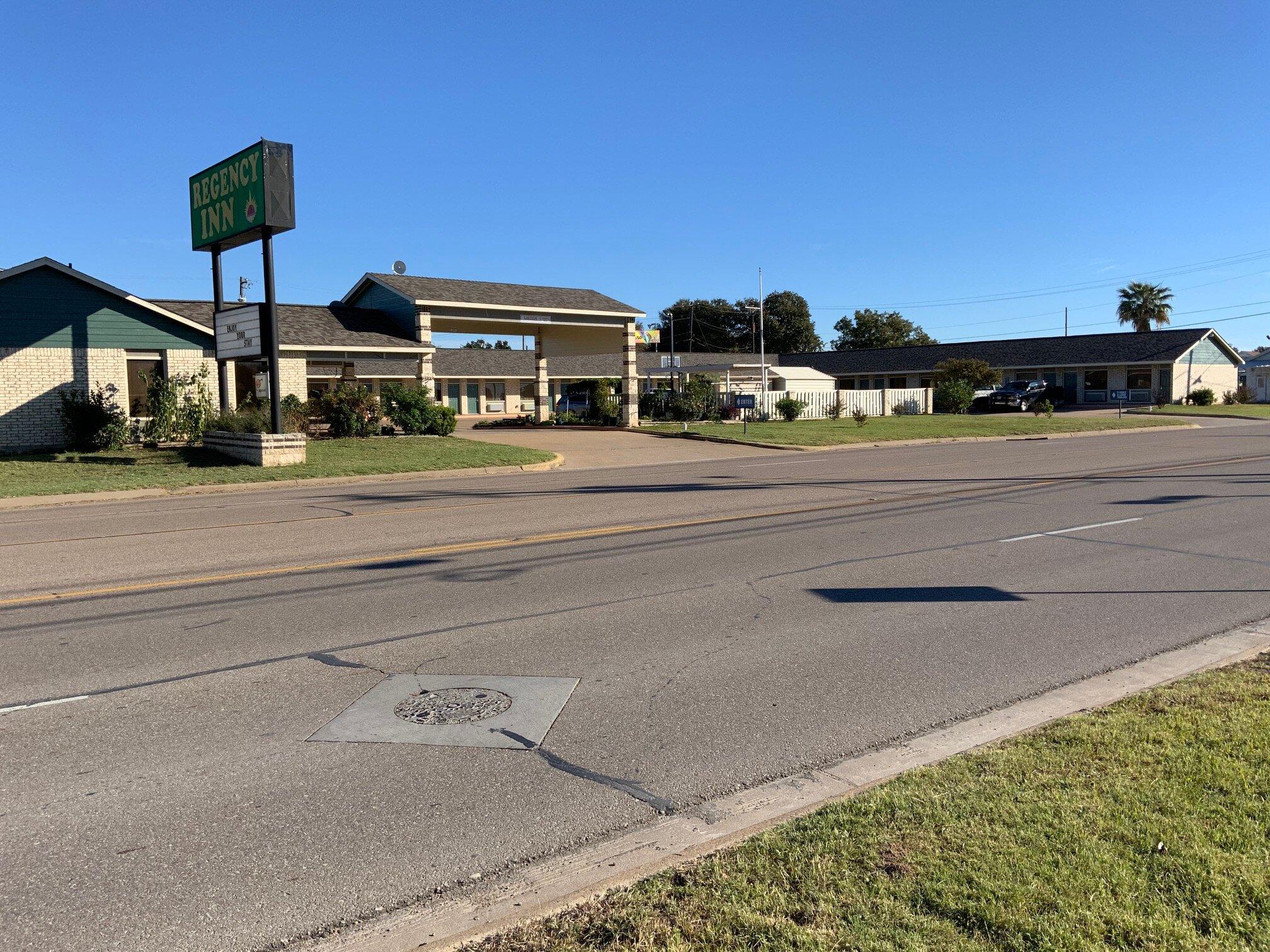
Places to stay
Hang your (vacation) hat in a place that’s just your style.