Sutersville, PA
Sutersville, PA Map
Sutersville is a US city in Westmoreland County in the state of Pennsylvania. Located at the longitude and latitude of -79.803900, 40.235800 and situated at an elevation of 941 meters. In the 2020 United States Census, Sutersville, PA had a population of 561 people. Sutersville is in the Eastern Standard Time timezone at Coordinated Universal Time (UTC) -5. Find directions to Sutersville, PA, browse local businesses, landmarks, get current traffic estimates, road conditions, and more.
Sutersville, Pennsylvania, is a small borough that offers a quaint glimpse into the charm of small-town America. Historically, Sutersville played a part in the region's coal mining industry, which was a significant economic driver in the early 20th century. While the coal mines are no longer operational, the town's history is still etched into its landscape and culture, providing a nostalgic backdrop for visitors who are interested in Pennsylvania's industrial past.
Popular places within Sutersville include the Youghiogheny River Trail, which is part of the larger Great Allegheny Passage, a scenic trail perfect for biking, hiking, and leisurely walks. This trail offers picturesque views and a peaceful escape into nature, attracting outdoor enthusiasts. Although the town is not a bustling metropolis, its small-town atmosphere, with locally-owned diners and shops, provides a welcoming environment for those looking to explore or relax away from the hustle and bustle of larger cities. Sutersville is a testament to the enduring spirit of Pennsylvania's smaller communities.
Nearby cities include: West Newton, PA, Webster, PA, South Versailles, PA, Lincoln, PA, Elizabeth, PA, Herminie, PA, Donora, PA, Greenock, PA, West Elizabeth, PA, Versailles, PA.
Places in Sutersville
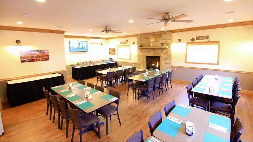
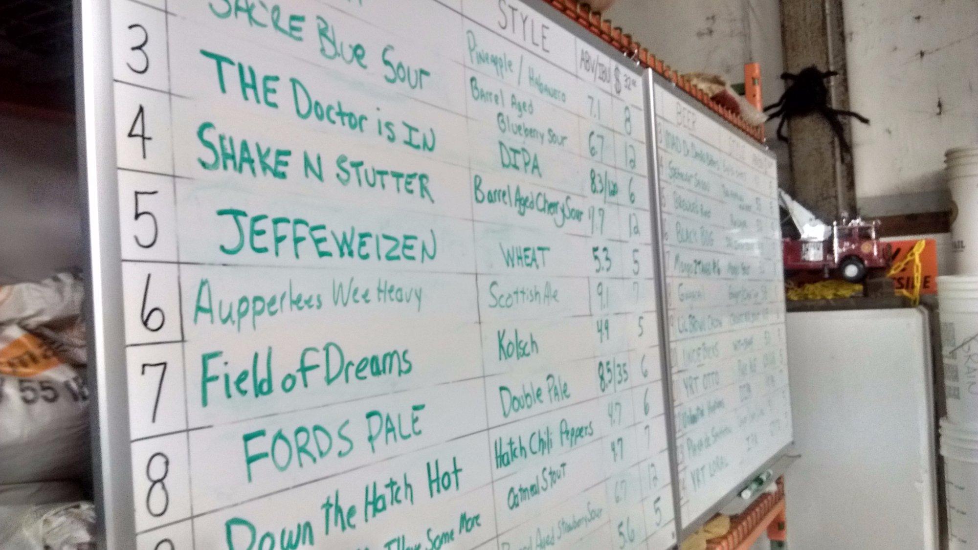
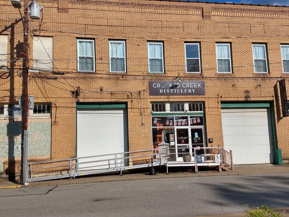
Dine and drink
Eat and drink your way through town.


Can't-miss activities
Culture, natural beauty, and plain old fun.

Places to stay
Hang your (vacation) hat in a place that’s just your style.