The Rore Roundtrip

Call
1a Storgaten
Grimstad 4876
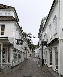
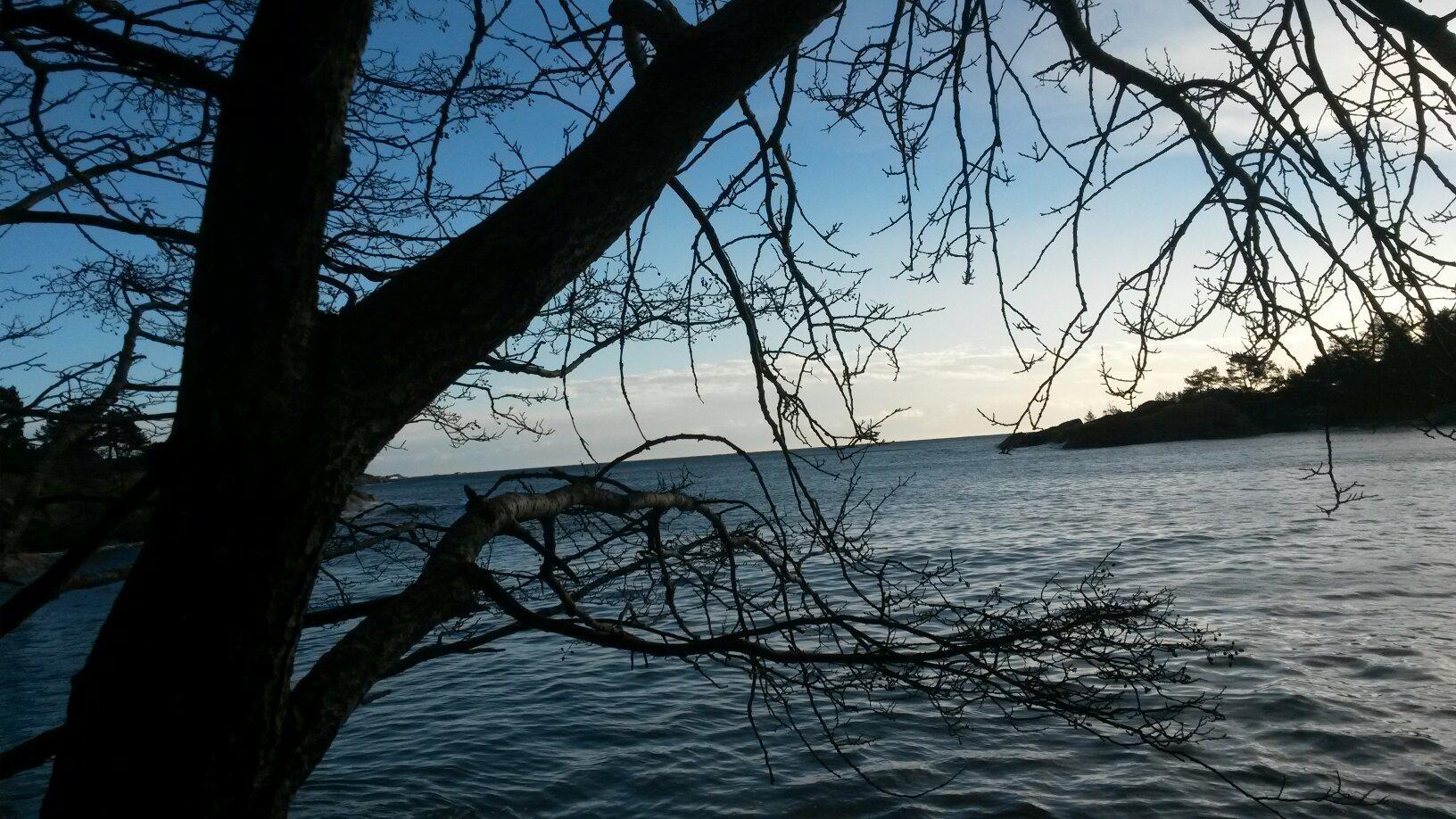
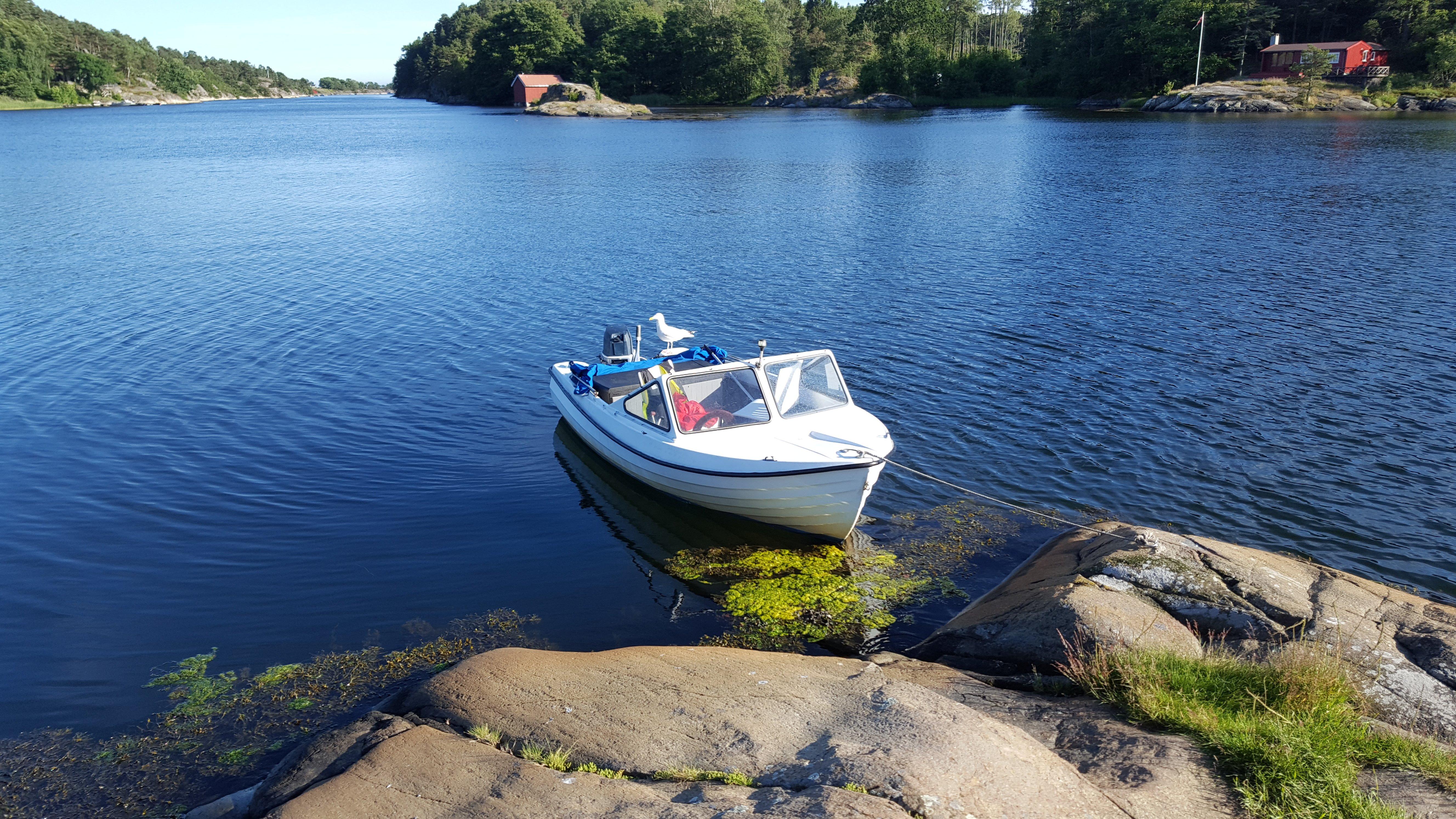
Follow National Cycle Route no. 1 out of town. Ride along the quays, continue past Odden Shopping Centre and follow Bark Silas Vei until you reach Felleskjopet. Continue along Rv. 420 past the Ericsson building. By Statoil, go straight ahead and use the underpass to cross E-18. Follow Route no. 1, past Bo Gront and the exit to Prestegardsskogen, until you reach the crossroads signposted Kryssen. Cross the main road and continue along the narrow gravel road – keep left. After some 600m you will reach the foot and cycle path. Continue straight on for a few metres and then cross the road. Follow the signs for Rosholt. By now you will have reached the old, disused Grimstad/Froland railroad track (closed down in 1961), and are riding along the Rore lake – a fresh water source for Grimstad and Arendal. Continue past the barrier and then straight ahead. When you reach tarmac by the power station, turn right towards Fjaere Church. The church (built around 1150) is well worth a visit. At the crossroads, go straight ahead and follow signs for National Cycle Route no. 1 back to town. Comments: An easy route. If you meet a horse along the Rore lake lane, please stop and let the horse pass.
Own this business?
See a problem?

You might also like

Grimstad's Archipelago

Grimstad's Archipelago

31
What is a smooth rocky shore? Cliffs and sandy beaches are very common, but the polished rocky shores are unique to Norway – almost. They do exist in other places, but not many. Stretches of such rock formations can be found from the Swedish west coast and up to Stockholm’s archipelago, and also in Greenland, Scotland, Alaska and possibly New Zealand. The rest of the world, however, does not have anything resembling these beautiful shores we associate with Southern Norway and the Oslo Fjord. The reason is that not many areas fulfil the two conditions required for such polished, smooth rocks to be formed. High-grade metamorphic rock such as gneiss or granite is required, and this coarse-grained formation must have been scoured and rubbed smooth by a thick layer of ice. As old as time itself! The Norwegian rocky shores originated long before the ice arrived - maybe as much as a billion years. Formation started 1.8 billion years ago and ended 1200 million years later. The time-span is almost incomprehensible! When the ice retreated for the last time, the rocky shores were given a last finish and took their current shape. This is only 10 000 years ago. Since then, the land has risen as much as 200 metres in some areas. Hence, the rocky shorescurrently lining the water’s edge were far below sea level and a thousand metres or more under the ice when they were formed. As the ice moved, masses of sand, gravel and stone were pushed in front and below. These deposits were pressed down and rubbed against the bedrock with immense force. This was how Norway’s rocky shores were formed. Soft elements were scoured away, and the hard rock was left polished, smooth and rounded. In several areas, characteristic scour lines are still evident, and some cracks in the actual bedrock can also be seen.
Fevik via Hasseltangen

Fevik via Hasseltangen

10
From the tourist office, followSmith Petersens Gate towards Arendal. Continue past Grimstad Church and Grimstad Town Hall on the left, and follow the foot and cycle path across Biesletta. Cross the road by the Bieheia turn-off, and continue along the foot and cycle path on the right hand side until you reach Vikkilen. Follow the signs for Fevik. At the Vik junction, turn right and follow the foot and cycle path along route 420 towards Fevik. When you reach the 40 km/h zone, cross the road and continue along the foot and cycle path on the left hand side. After a few kilometres, where you have open views to the sea, you can see the idyllic Strand Hotel Fevik. At the very tip of the headland is Sandodden Fort. Cross over to the right hand side and follow the pavement to Fevik. Turn right at Feviktoppen, and then take the second right. Feviktoppen has a small shopping centre. Continue past Fevik Park on your left and Fevik Church Community Centre on your right. Follow the signs for Som/Haugenes. Somsveien towards Hasseltangen does not have a foot and cycle path. An alternative route is marked in blue. Please see recommended trip below. After the Haugenes junction, continue straight ahead until your reach Hasseltangen. To get to the outermost part of Hassel-tangen, follow the gravel road to the left at the very end of the car park. On your return, turn right towards Birketveit at the first junction. At the route 420 junction, turn left towards Fevik. When you have passed a riding school on your left, cross the road and follow the signs for Lunde. At the end of the road is a T-junction where you turn left towards Lia. Continue straight ahead until you reach the foot and cycle path, and follow this towards Vik/Grimstad. Just before the Vik junction, use the pedestrian crossing to get over to the right hand side and then follow the foot and cycle path underneath route 420. From here, follow the foot and cycle path back to Grimstad. Opt. 1: Turn right towards Storesand, and continue past Randvika. In the upper part of the car park, bear left and follow the main road until you reach Haugenes junction. Then turn right towards Hasseltangen. Comments: Mainly flat and gentle terrain, but parts of the trip do not follow foot and cycle paths. Some gravel roads.
NorwayThe Rore Roundtrip