


Homborsund via Vestlandske Hovedvei
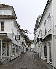
1a Storgaten
Grimstad 4876
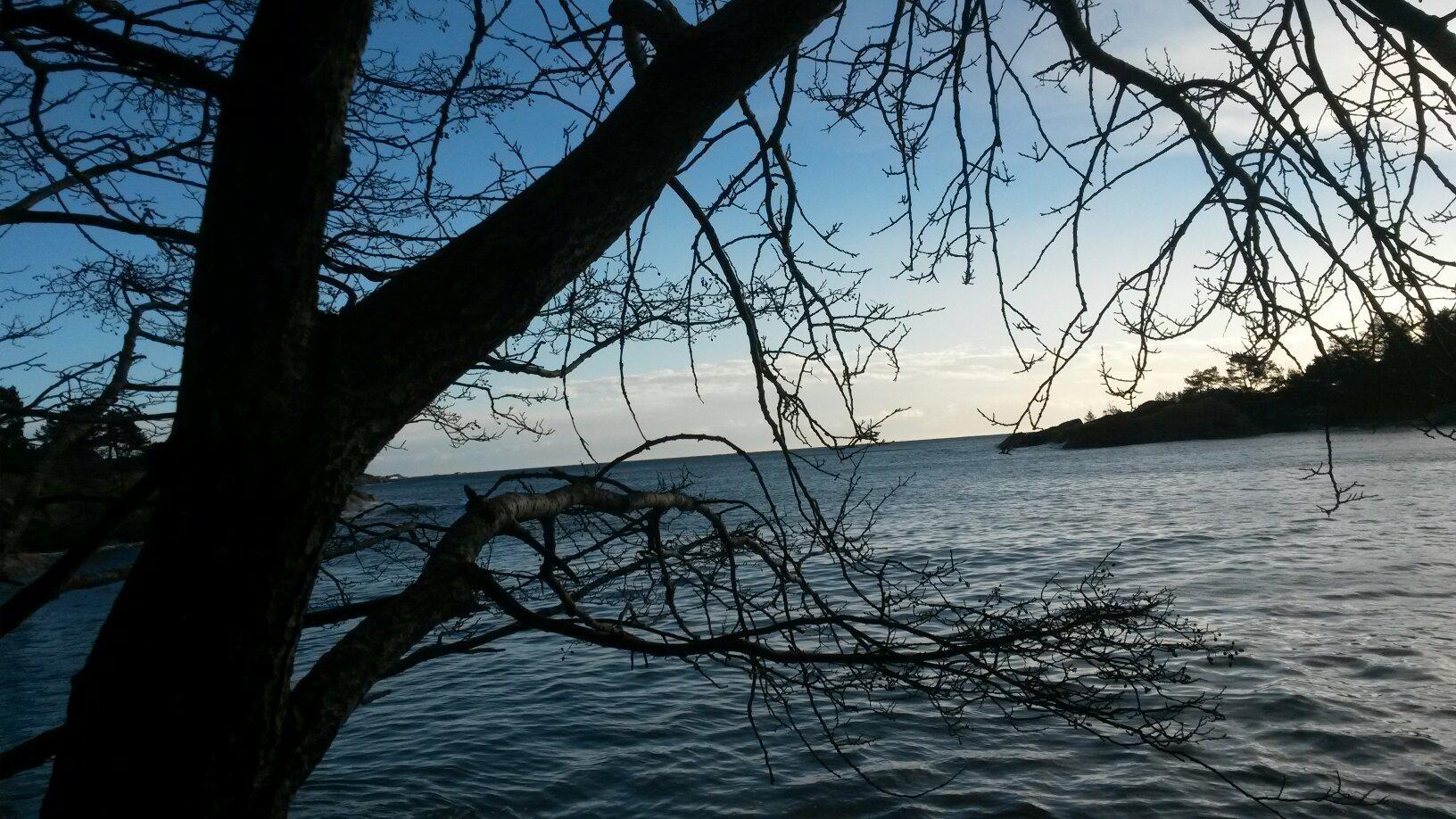
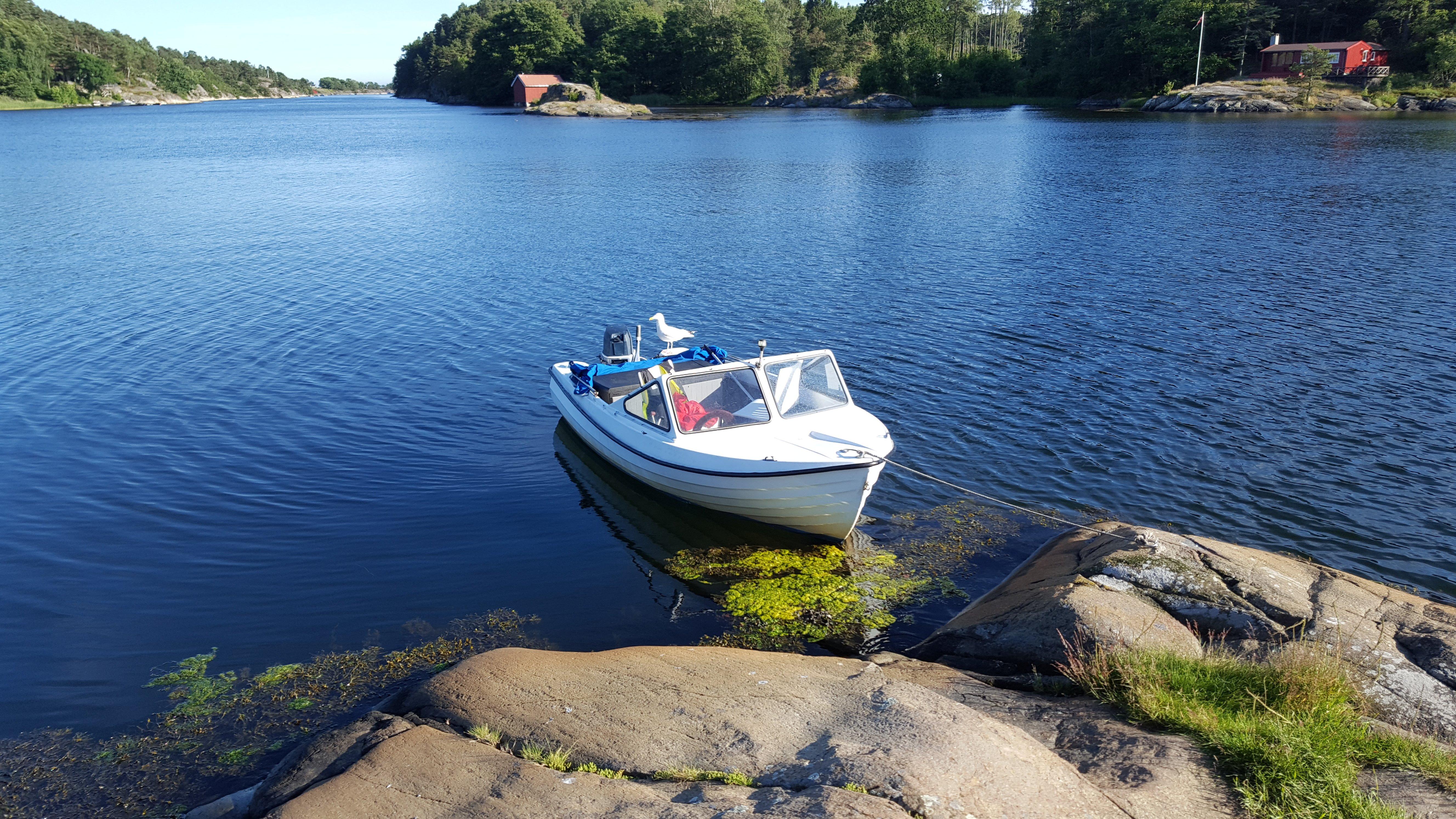
From the tourist office, ride towards Odden Shopping Centre and continue along route 420 for approx. 1 km. Turn left and follow the signs for Groos. After a while, turn right onto Tiurveien. Immediately after the exit, turn left onto a narrow forest lane. Keep right and ride along the stream. Continue straight on and follow the foot and cycle path until you reach a main road. Cross this road, ride past the farm with the large yellow barn (Lauvasvolden) and continue along the cycle path. At Vestre Grom, go straight on. By Bergemoen, use the crossing to get to the other side of the E-18 and then follow signs for Landvik Church. As you reach Landvik Church, turn left and follow signs for the blue trail/Reddal. After some 8 km you will see Vestlandske Hovedvei, the old main route to Western Norway. Continue on this gravel road. At the crossroads, a few hundred metres further on, turn left onto the tarmac road (Inntjorekilen). Continue on tarmac with the lake on your right. Where the tarmac ends, turn right past the barrier and follow the gravel road. By Tyssekil (after approx. 16 km) you will once again meet Vestlandske Hovedvei. Idyllic spot – ideal for a break. Turn right onto Vestlandske Hovedvei. Back at the crossroads, leave Vestlandske Hovedvei and follow the tarmac road to the left. Keep right at the next junction. As you reach Landvik Church, follow signs for Risdal, 2.5 km. Continue along route 420 towards Grimstad. At Bergemoen, turn right onto the E-18 overpass, and then follow Vesterled back to the tourist office. Comments: Mainly flat and gentle terrain. However, some sections of Vestlandske Hovedvei are hilly with a relatively soft surface. Please show consideration if you meet horses along the route.
Also at this address

See a problem?
You might also like
Norway›Homborsund via Vestlandske Hovedvei