


Hill Hike in Grimstad
(1)
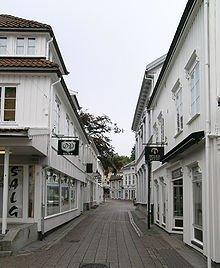
1a Storgaten
Grimstad 4876
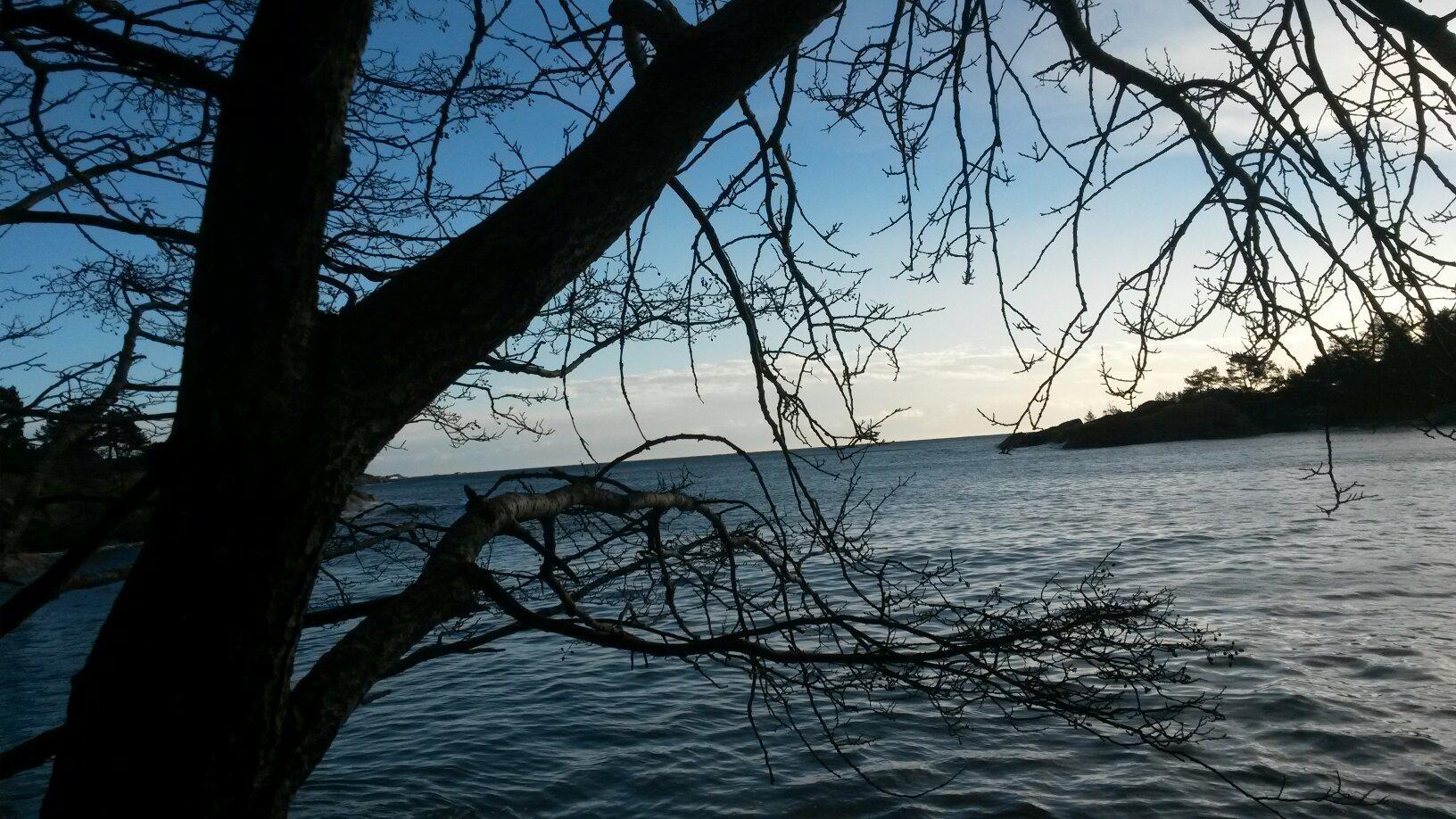
By the tourist office, cross the road at the traffic lights. Turn left, and continue along Pharos Vei. At the very end of Hoyvardeveien is the first hilltop: Vardeheia, 41 m a.s.l. Stunning views, and within an easy 10 min. walk from town centre. Enter Vestregate and then follow Storgaten until you reach Frivoldveien. The next hilltop is Floyheia, 63.5 m a.s.l., with beautiful views to the sea, town and countryside. This trail has been created based on Knut Hamsun’s work, “On Overgrown Paths”, and you’ll find quotes from the book along the way. Some steep sections, but Hamsun was 88 years old when he did this walk. Mollerheia, 41.9 m a.s.l., is the hilltop prior to the descent down to Kirkegaten. Cross over to Kirkeheia, 27 m a.s.l., with its beautiful park and the wooden Grimstad Church - Norway’s second largest of its kind. Binabben, 58.5 m a.s.l. and the last of the hilltops, offers an excellent “forest walk on wellkept paths to the vantage point. Spectacular 360° view towards countryside, town, harbour, archipelago and sea. At the top is a panorama disc with distances and details on what’s what in every direction. Duration: approx. 1 ½ hours. Terrain: Varied, some hilly areas, exciting countryside. Sturdy shoes and a reasonable level of fitness are required. Level of difficulty: Medium Suitable for: Both Vardeheia and Kirkeheia are suitable for wheelchairs/prams.
Also at this address

See a problem?
You might also like
Norway›Hill Hike in Grimstad