


Atkins, VA
Atkins, VA 24311
Atkins Map
Atkins is a census-designated place (CDP) in Smyth County, Virginia, United States. The population was 1,138 at the 2000 census.
Atkins is located at 36°52?8?N 81°24?36?W / 36.86889°N 81.41°W / 36.86889; -81.41 (36.868967, -81.410030).
According to the United States Census Bureau, the CDP has a total area of 5.4 square miles (14.0 km²), all of it land.
Nearby cities include Troutdale, Chilhowie, Tazewell, Saltville, Wytheville.
Places in Atkins
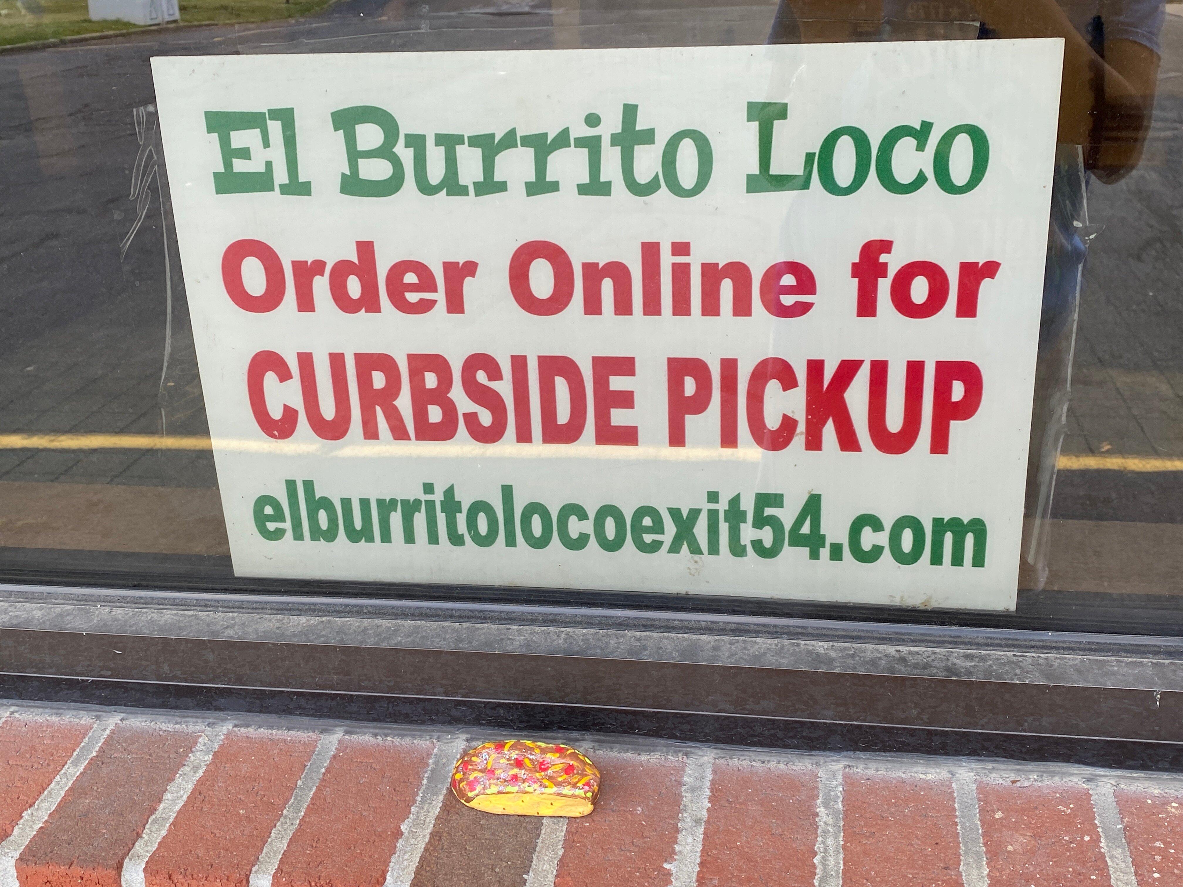
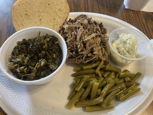
Dine and drink
Eat and drink your way through town.


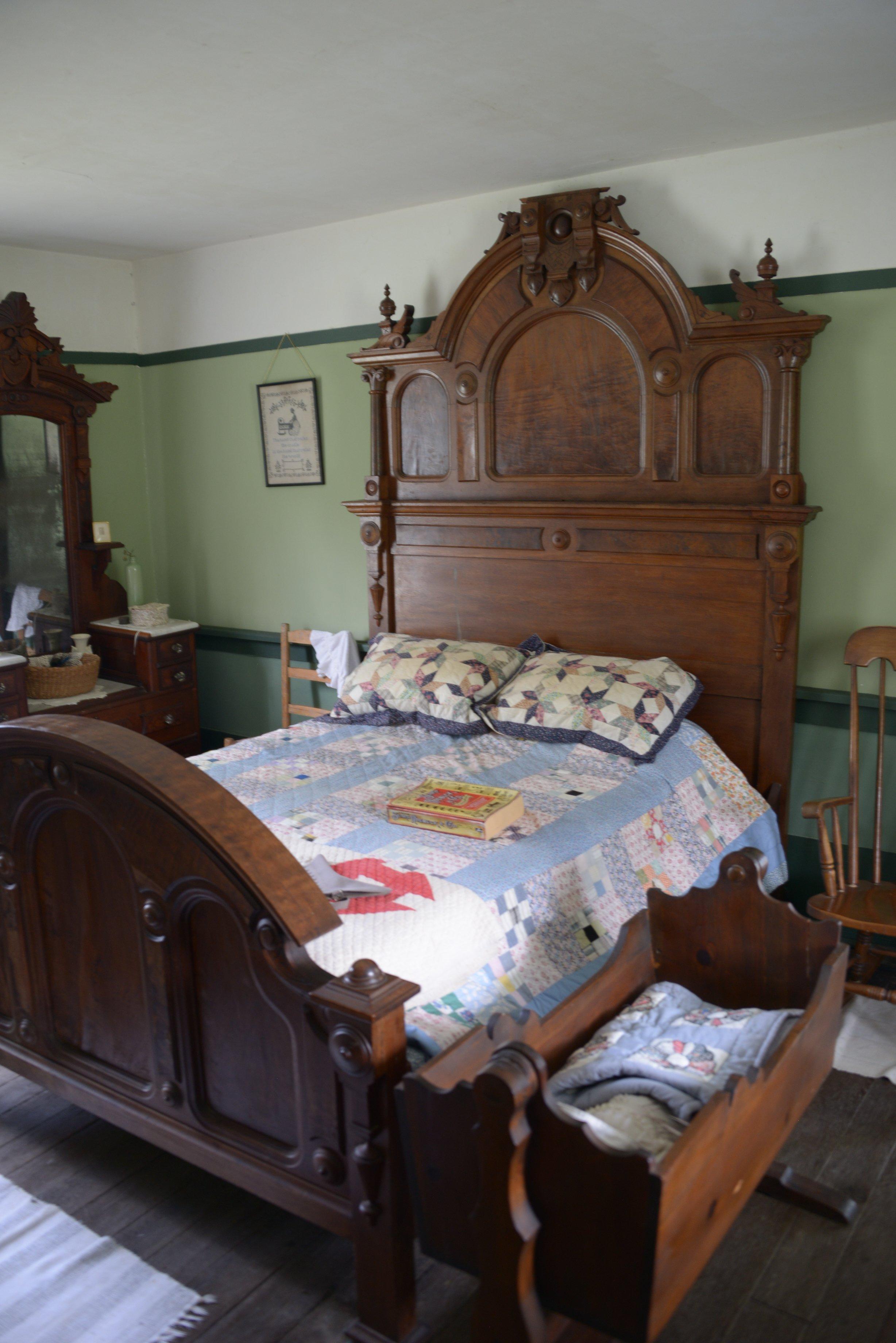
Can't-miss activities
Culture, natural beauty, and plain old fun.


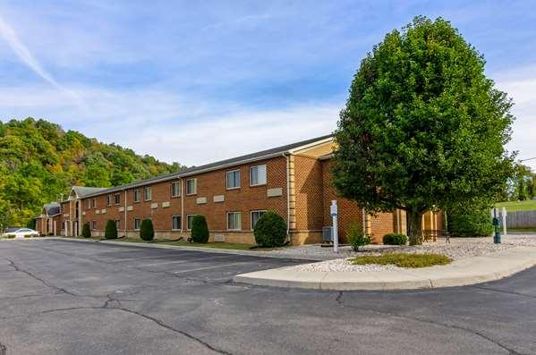
Places to stay
Hang your (vacation) hat in a place that’s just your style.


See a problem?