Wells, TX
Big Wells, TX Map
Big Wells is a US city in Cherokee County in the state of Texas. Located at the longitude and latitude of -99.570300, 28.570800 and situated at an elevation of 164 meters. In the 2020 United States Census, Big Wells, TX had a population of 483 people. Big Wells is in the Central Standard Time timezone at Coordinated Universal Time (UTC) -6. Find directions to Big Wells, TX, browse local businesses, landmarks, get current traffic estimates, road conditions, and more.
Big Wells, located in Texas, is a small city with a rich history rooted in the early 20th century, primarily known for its connections to the oil industry. The city gained attention during the oil boom, which played a significant role in shaping its development and economy. Despite its modest size, Big Wells offers a glimpse into the quintessential Texan lifestyle, with its vast open landscapes and a community that reflects the rugged spirit of the region.
Visitors to Big Wells can explore local attractions that highlight its historical significance. The city serves as a gateway to the natural beauty of the Texan countryside and provides a serene environment for those looking to escape the hustle and bustle of larger urban areas. While Big Wells may not boast a plethora of tourist attractions, its charm lies in its simplicity and the warm hospitality of its residents, making it a noteworthy stop for those interested in the authentic Texan experience.
Nearby cities include: Asherton, TX, Catarina, TX, Crystal City, TX, Carrizo Springs, TX, Loma Grande, TX, Cotulla, TX, Dilley, TX, Batesville, TX, La Pryor, TX, Pearsall, TX.
Places in Wells
Dine and drink
Eat and drink your way through town.


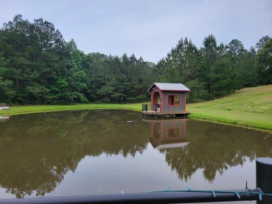
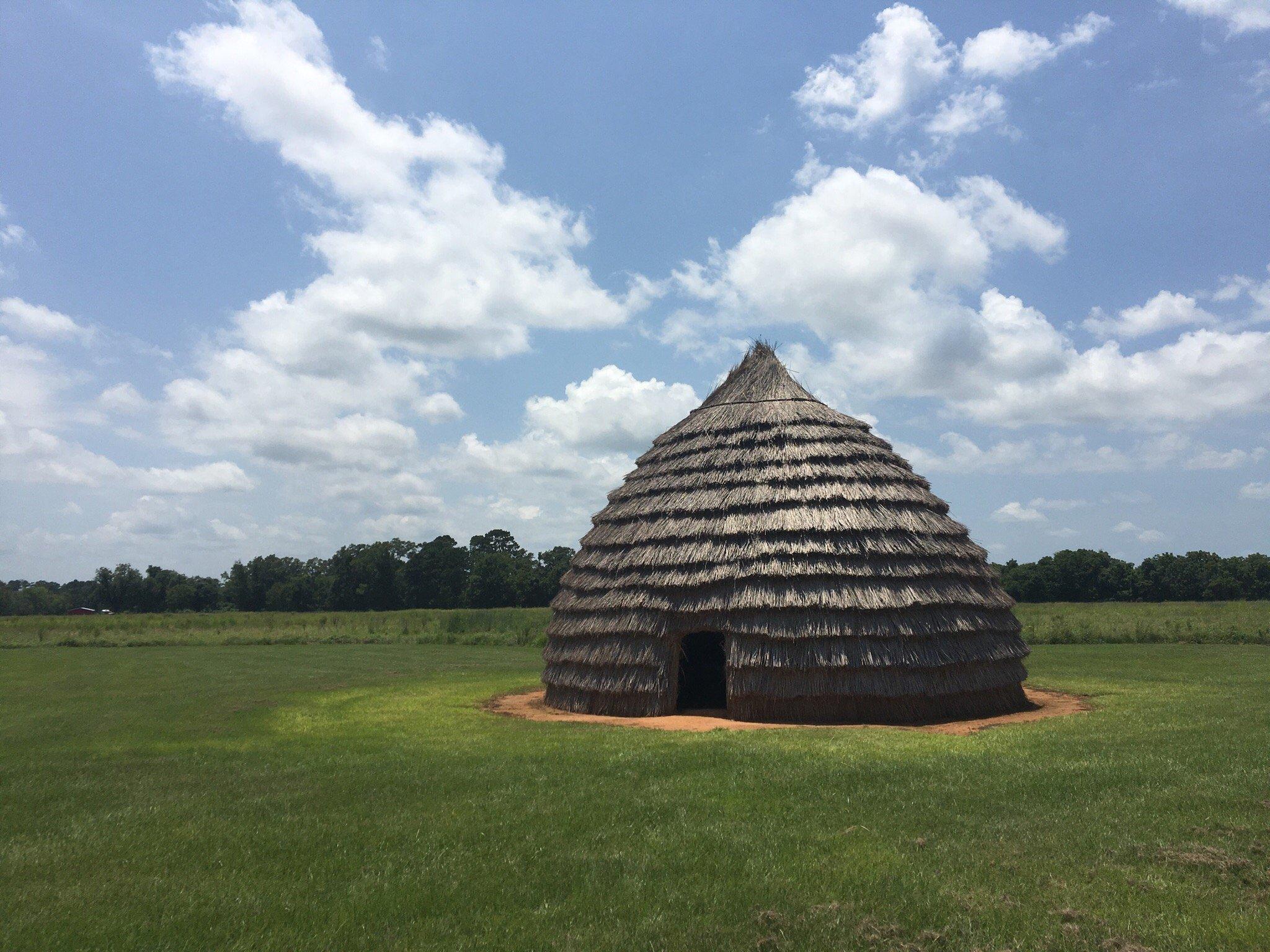
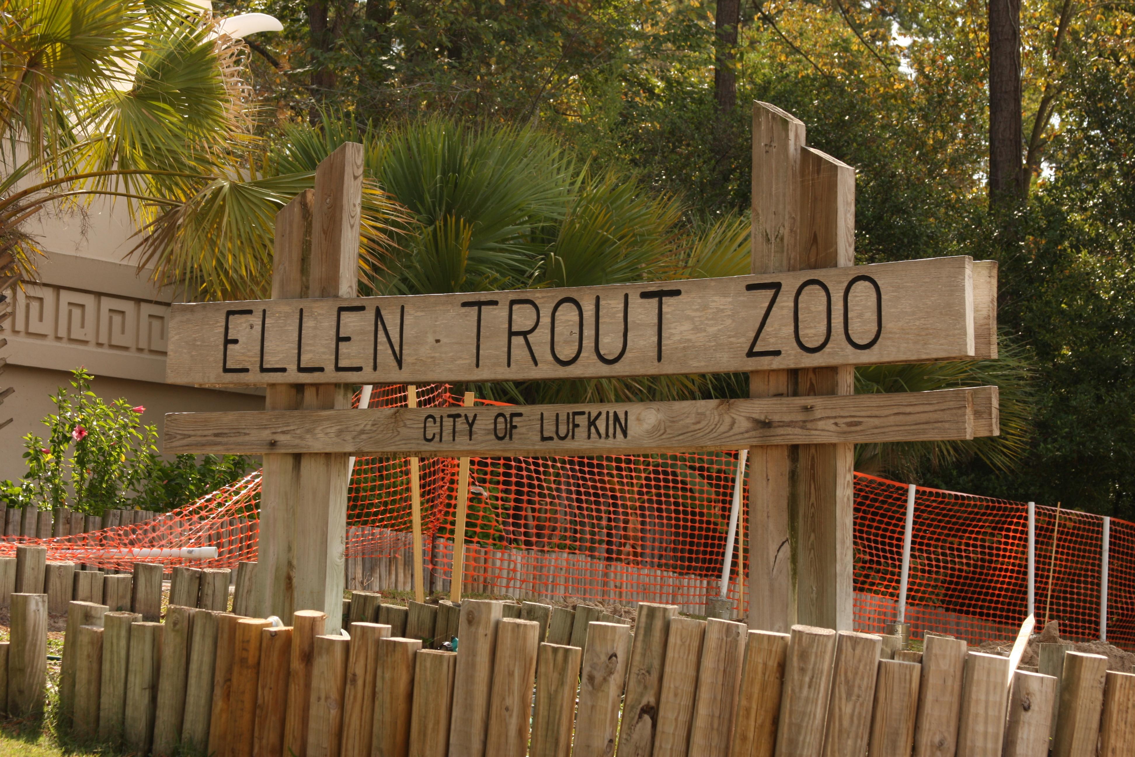
Can't-miss activities
Culture, natural beauty, and plain old fun.

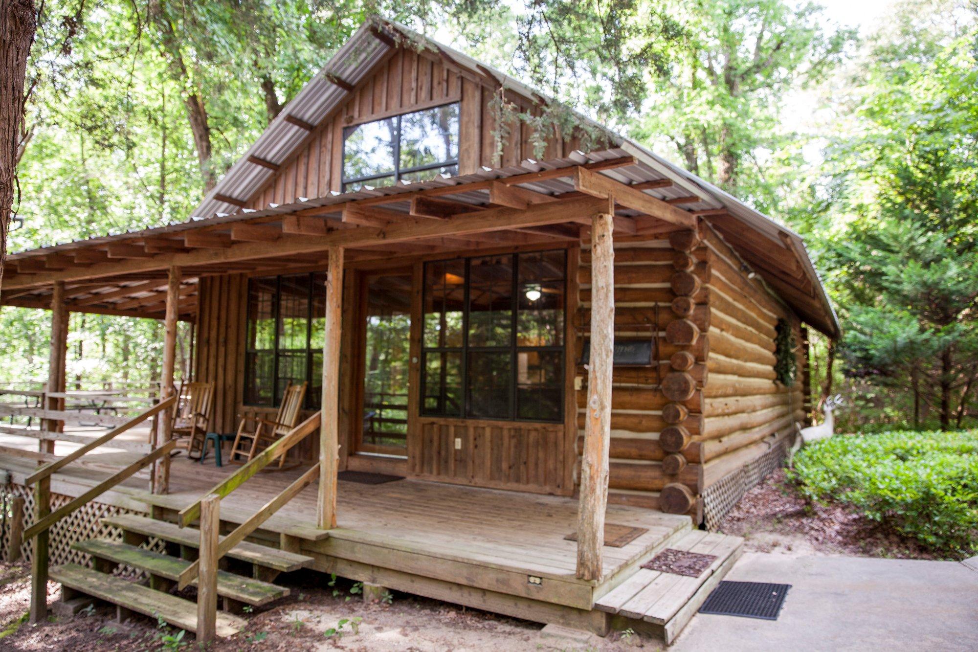
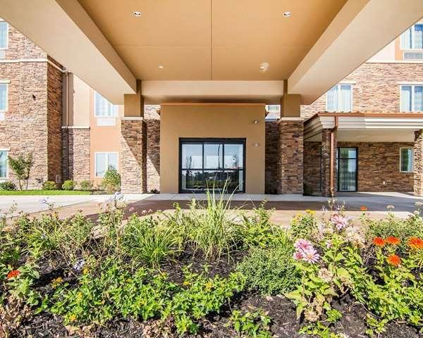
Places to stay
Hang your (vacation) hat in a place that’s just your style.