Tira, TX
Tira, TX Map
Tira is a US city in Hopkins County in the state of Texas. Located at the longitude and latitude of -95.569700, 33.326700 and situated at an elevation of 143 meters. In the 2020 United States Census, Tira, TX had a population of 319 people. Tira is in the Central Standard Time timezone at Coordinated Universal Time (UTC) -6. Find directions to Tira, TX, browse local businesses, landmarks, get current traffic estimates, road conditions, and more.
Tira, located in Texas, is a small town best known for its close-knit community and tranquil rural setting. While it may not have the bustling attractions of larger cities, Tira offers a peaceful retreat for those looking to escape the hustle and bustle. The town is steeped in local history and is characterized by its agricultural roots, which continue to play a significant role in the community's lifestyle and economy. Visitors often appreciate the scenic beauty of the surrounding landscapes, which provide a perfect backdrop for outdoor activities such as hiking and bird watching.
One of the notable places in Tira is the local community center, which serves as a hub for social gatherings and events, bringing residents together for celebrations and communal activities. The town is also home to a few quaint shops and family-owned eateries that offer a taste of local flavors and hospitality. While Tira may not boast a wide array of tourist attractions, its charm lies in its simplicity and the warmth of its residents, making it an ideal spot for those seeking a genuine slice of Texan rural life.
Nearby cities include: Cooper, TX, Sulphur Springs, TX, Roxton, TX, Pecan Gap, TX, Pine Forest, TX, Como, TX, Commerce, TX, Deport, TX, Cumby, TX, Brookston, TX.
Places in Tira
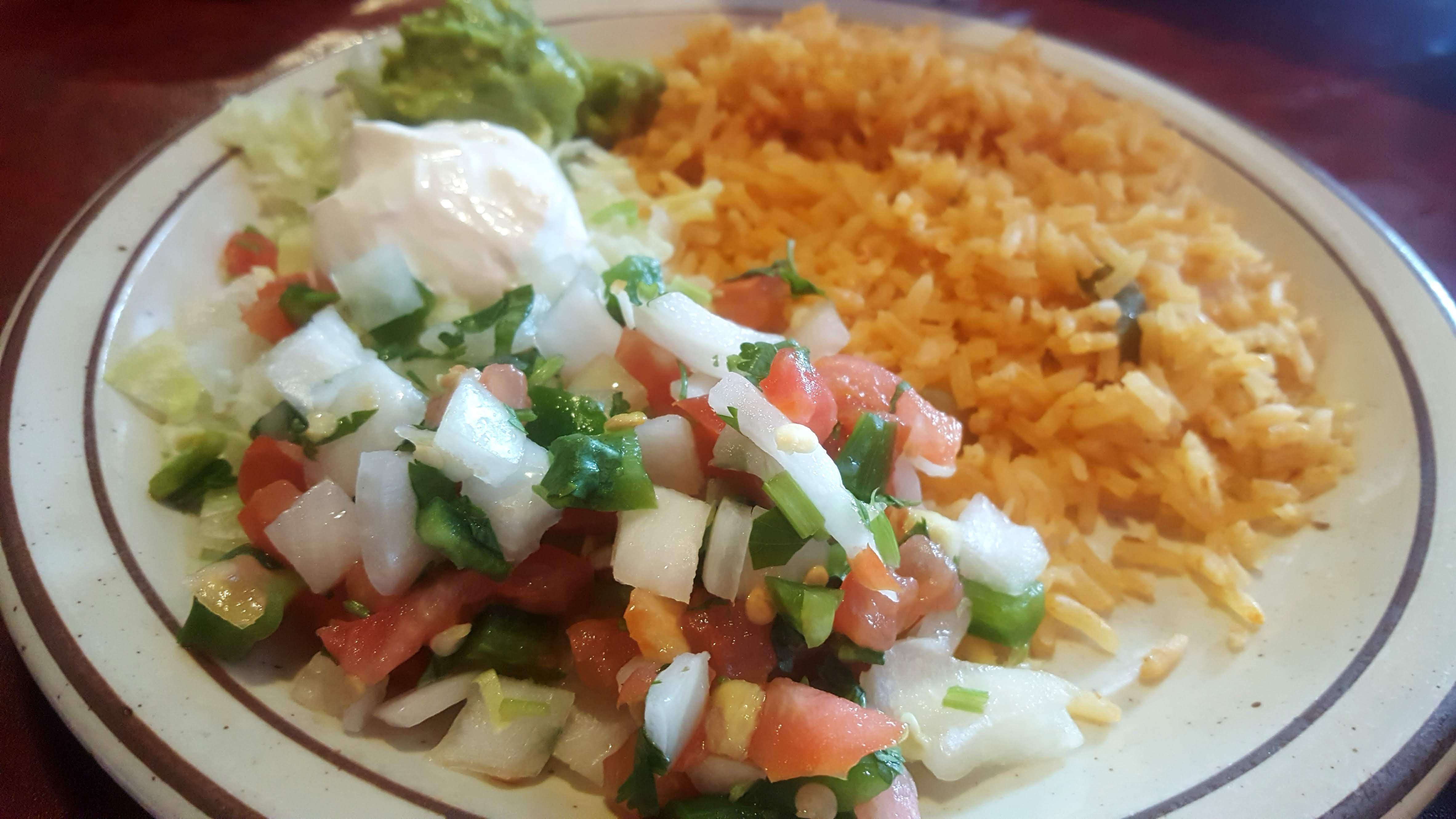
Dine and drink
Eat and drink your way through town.


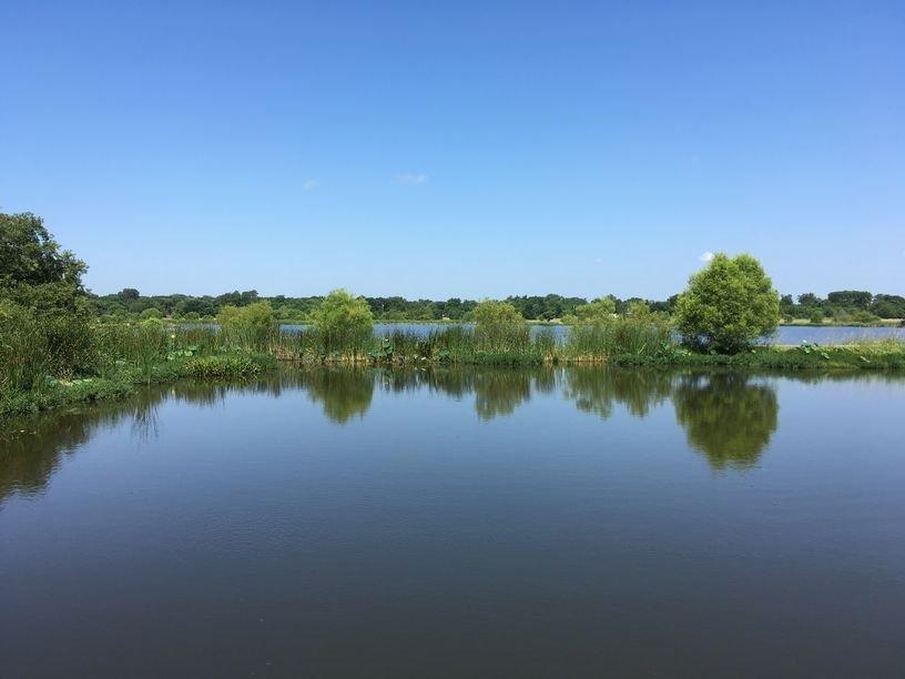
Can't-miss activities
Culture, natural beauty, and plain old fun.


Places to stay
Hang your (vacation) hat in a place that’s just your style.