Miles, TX
Miles, TX Map
Miles is a US city in Runnels County in the state of Texas. Located at the longitude and latitude of -100.182500, 31.598890 and situated at an elevation of 549 meters. In the 2020 United States Census, Miles, TX had a population of 875 people. Miles is in the Central Standard Time timezone at Coordinated Universal Time (UTC) -6. Find directions to Miles, TX, browse local businesses, landmarks, get current traffic estimates, road conditions, and more.
Miles, Texas, is a small city that exudes a charming, rural Texan ambiance. Known for its tight-knit community and agricultural roots, Miles offers a glimpse into the slower-paced lifestyle of central Texas. The city is steeped in history, having been established in the late 19th century as a stop on the Gulf, Colorado and Santa Fe Railway. This historical connection to the railway is commemorated by the old railway depot, which now serves as a community center and a reminder of the town's origins.
Visitors to Miles can explore a handful of local attractions that reflect the town's heritage and community spirit. The annual Miles Cotton Fest is a highlight, celebrating the region's agricultural significance with events, live music, and family-friendly activities. Miles is also known for its welcoming atmosphere, where local diners and shops offer a taste of genuine Texan hospitality. While it may not boast the bustling attractions of larger cities, Miles provides a peaceful retreat with a strong sense of tradition and community pride.
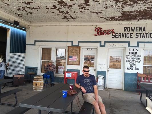
Nearby cities include: Rowena, TX, Paint Rock, TX, Ballinger, TX, San Angelo, TX, Bronte, TX, Robert Lee, TX, Carlsbad, TX, Winters, TX, Wingate, TX, Eden, TX.
Places in Miles
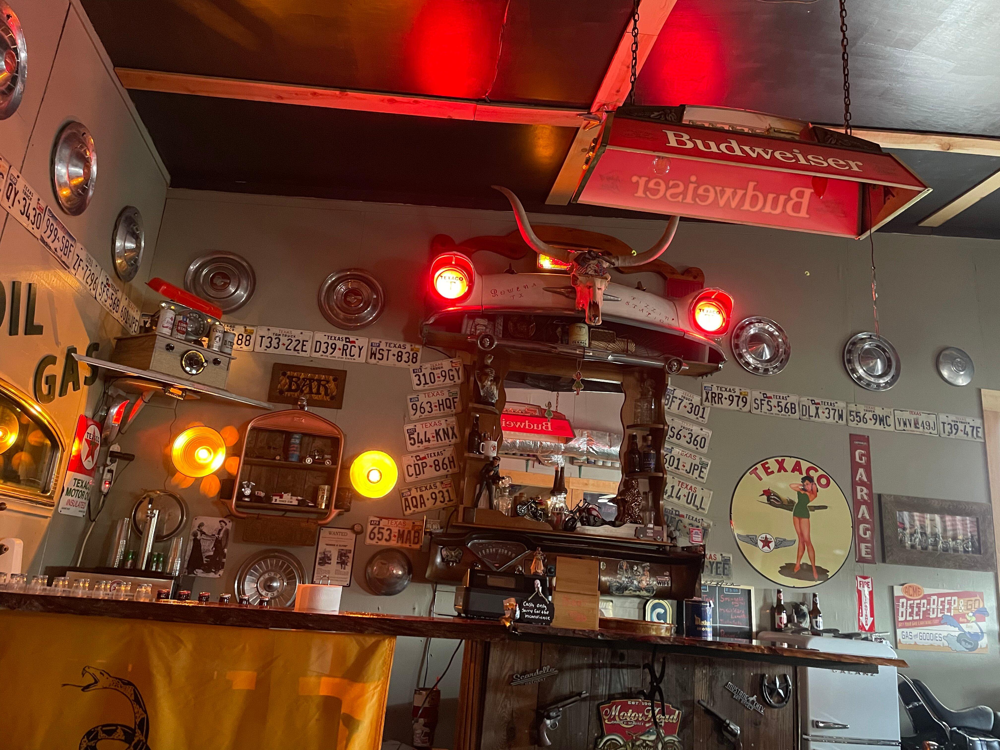
Dine and drink
Eat and drink your way through town.


Can't-miss activities
Culture, natural beauty, and plain old fun.


Places to stay
Hang your (vacation) hat in a place that’s just your style.