Megargel, TX
Megargel, TX Map
Megargel is a US city in Archer County in the state of Texas. Located at the longitude and latitude of -98.927500, 33.453610 and situated at an elevation of 392 meters. In the 2020 United States Census, Megargel, TX had a population of 174 people. Megargel is in the Central Standard Time timezone at Coordinated Universal Time (UTC) -6. Find directions to Megargel, TX, browse local businesses, landmarks, get current traffic estimates, road conditions, and more.
Megargel, located in Texas, is a small town with a rich history that dates back to its establishment in the early 20th century. Known for its quintessential small-town charm, Megargel offers a glimpse into Texas's past with its historical buildings and quiet streets. The town was named after Roy C. Megargel, a financier involved in the early development of the area, particularly during the oil boom. Although the boom times have passed, the town retains a nostalgic feel, providing visitors with a quaint and peaceful experience.
While Megargel may not boast bustling attractions, it offers unique local highlights such as the historic Megargel School, which serves as a reminder of the town's educational past. Visitors can enjoy a leisurely stroll around the town to take in the serene rural landscapes and classic Texas architecture. Megargel's community events and friendly locals further enhance its welcoming atmosphere, making it a pleasant stop for those exploring the quieter, off-the-beaten-path areas of Texas.
Nearby cities include: Olney, TX, Archer City, TX, Newcastle, TX, Seymour, TX, Throckmorton, TX, Loving, TX, Holliday, TX, Windthorst, TX, Scotland, TX, Woodson, TX.
Places in Megargel
Dine and drink
Eat and drink your way through town.


Can't-miss activities
Culture, natural beauty, and plain old fun.


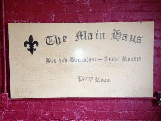
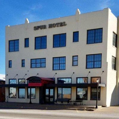
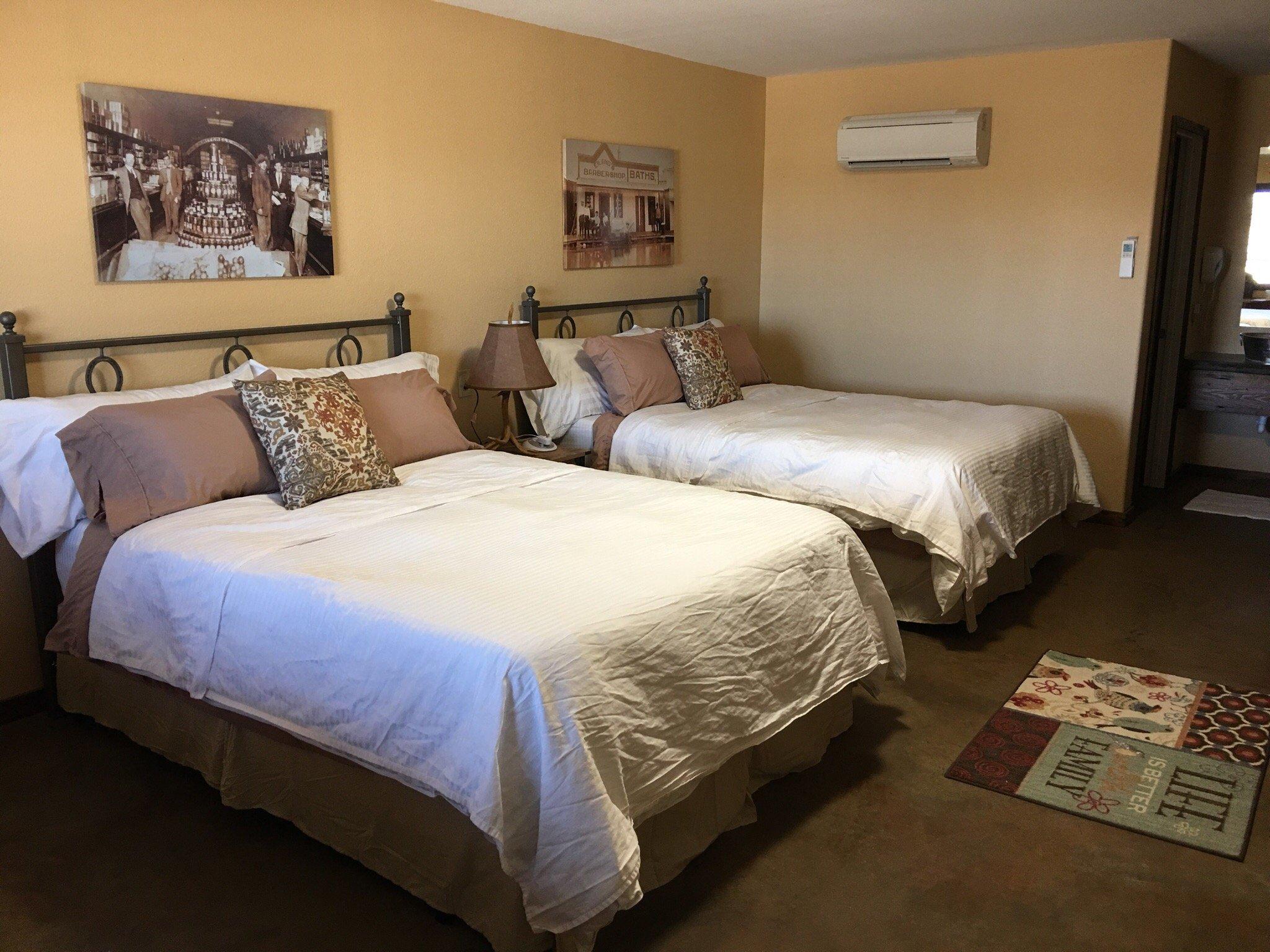
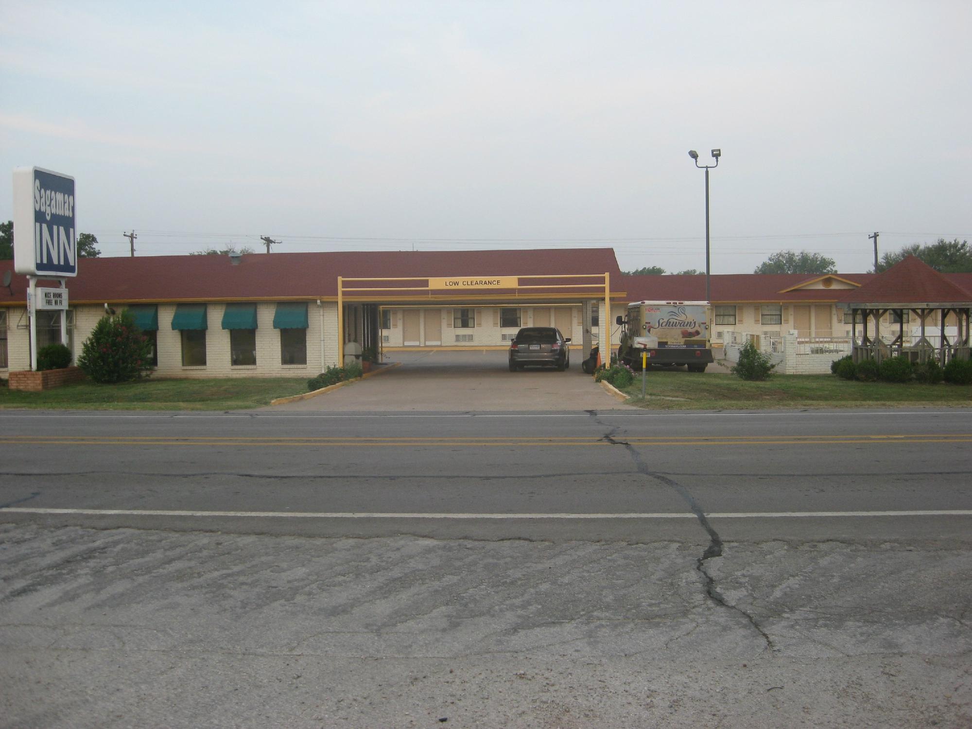
Places to stay
Hang your (vacation) hat in a place that’s just your style.