Latexo, TX
Latexo, TX Map
Latexo is a US city in Houston County in the state of Texas. Located at the longitude and latitude of -95.474700, 31.389200 and situated at an elevation of 121 meters. In the 2020 United States Census, Latexo, TX had a population of 232 people. Latexo is in the Central Standard Time timezone at Coordinated Universal Time (UTC) -6. Find directions to Latexo, TX, browse local businesses, landmarks, get current traffic estimates, road conditions, and more.
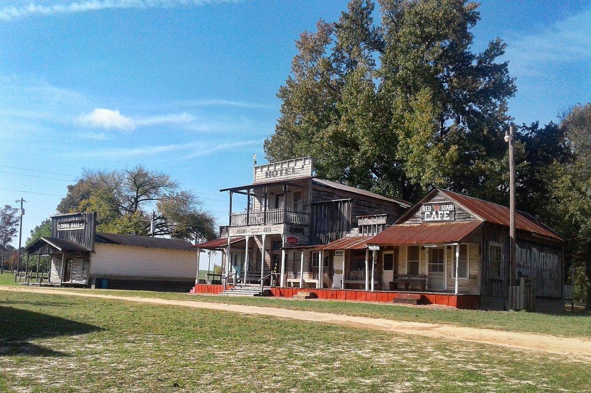
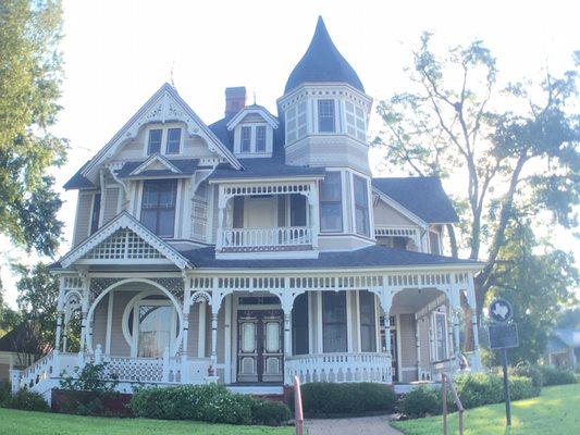
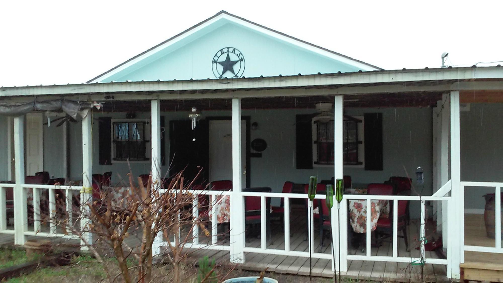
Latexo, Texas, is a small city known for its rich history and rural charm. The city has its roots in the early 20th century when it was established as a sawmill town, reflecting the logging industry's significance in the region. Latexo's name is derived from the "Latex Lumber Company," which played a pivotal role in its development. This historical backdrop adds a unique character to the city, with remnants of its past evident in the local architecture and community spirit.
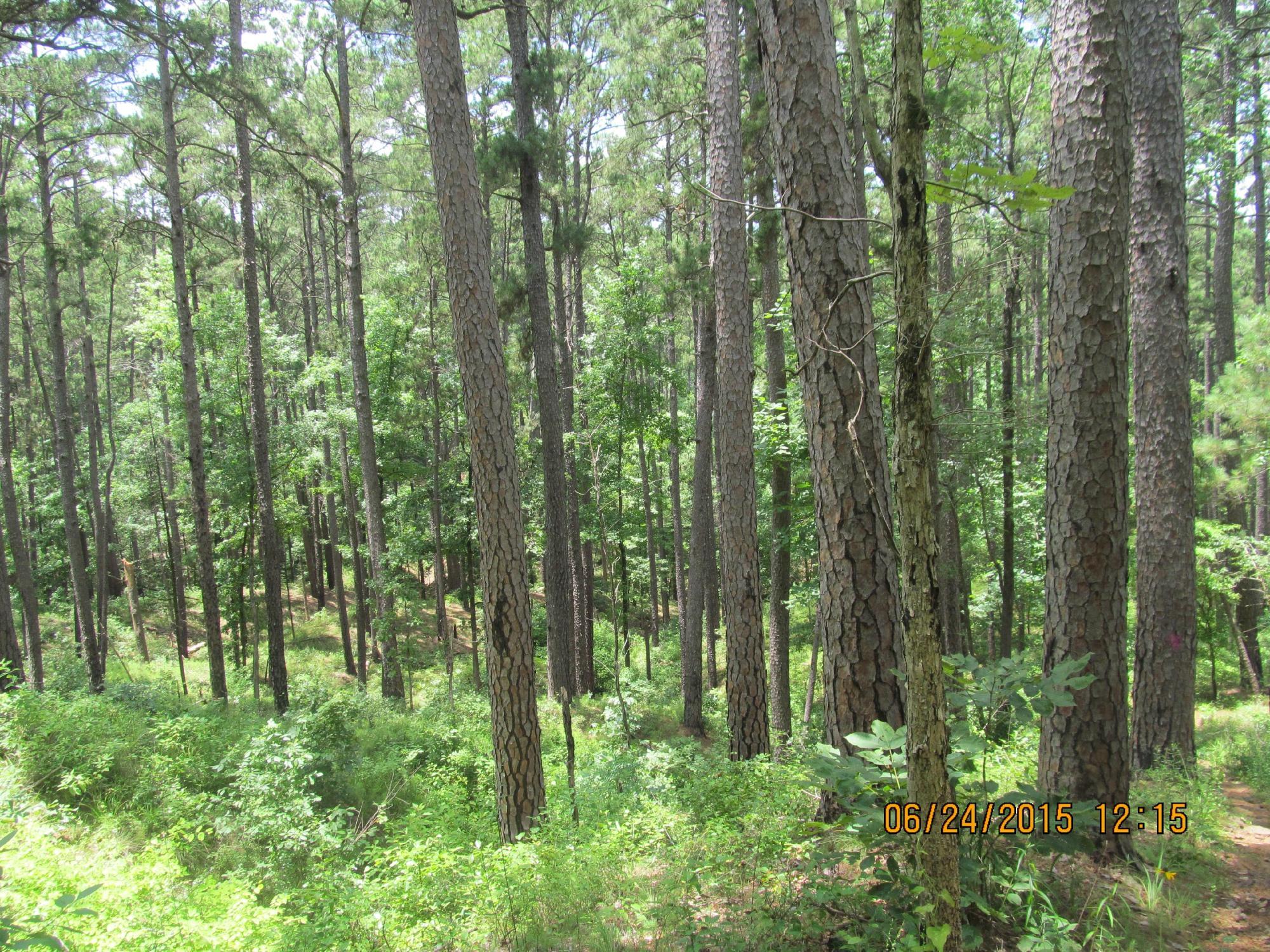
Visitors to Latexo can enjoy the serene natural surroundings and a slower pace of life. While the city itself does not boast major tourist attractions, it offers a gateway to the natural beauty of East Texas. Outdoor enthusiasts can explore nearby parks and forests, taking advantage of hiking and bird-watching opportunities. The community's welcoming atmosphere and periodic local events provide a glimpse into the everyday life of this quaint Texan city. Latexo may not be a bustling metropolis, but its historical significance and tranquil environment make it a noteworthy stop for those exploring the region.
Nearby cities include: Crockett, TX, Grapeland, TX, San Pedro, TX, Hickory Creek, TX, Cooper, TX, Kennard, TX, Elkhart, TX, Lovelady, TX, Oakwood, TX, Centralia, TX.
Places in Latexo
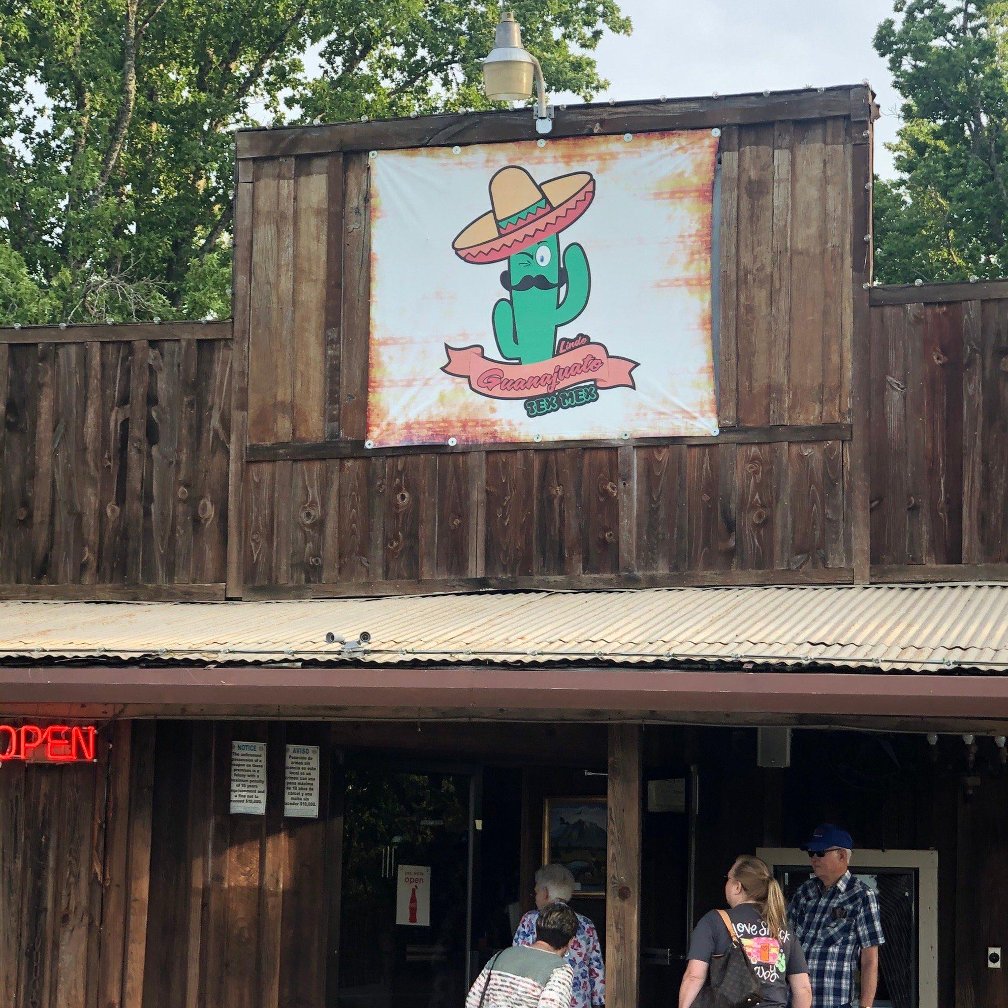
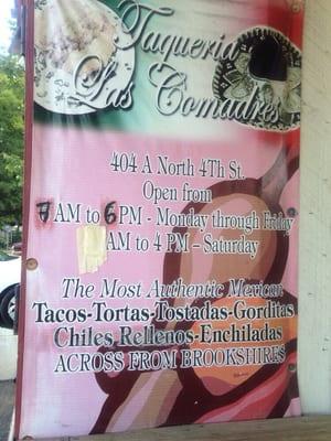
Dine and drink
Eat and drink your way through town.


Can't-miss activities
Culture, natural beauty, and plain old fun.
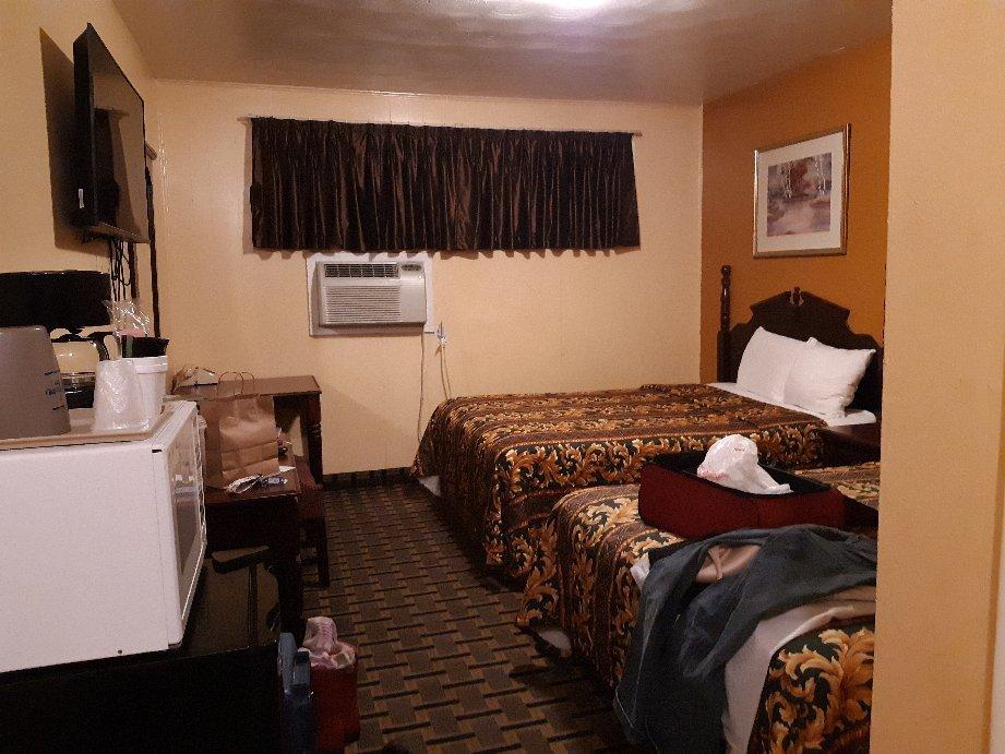
Places to stay
Hang your (vacation) hat in a place that’s just your style.