Fabens, TX
Fabens, TX Map
Fabens is a US city in El Paso County in the state of Texas. Located at the longitude and latitude of -106.154000, 31.505000 and situated at an elevation of 1,102 meters. In the 2020 United States Census, Fabens, TX had a population of 7,498 people. Fabens is in the Mountain Standard Time timezone at Coordinated Universal Time (UTC) -7. Find directions to Fabens, TX, browse local businesses, landmarks, get current traffic estimates, road conditions, and more.
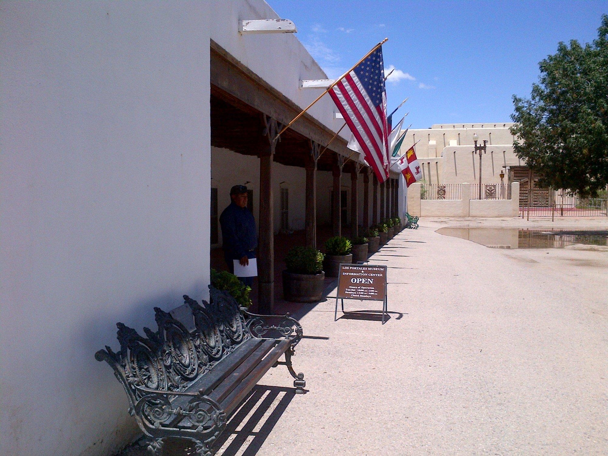
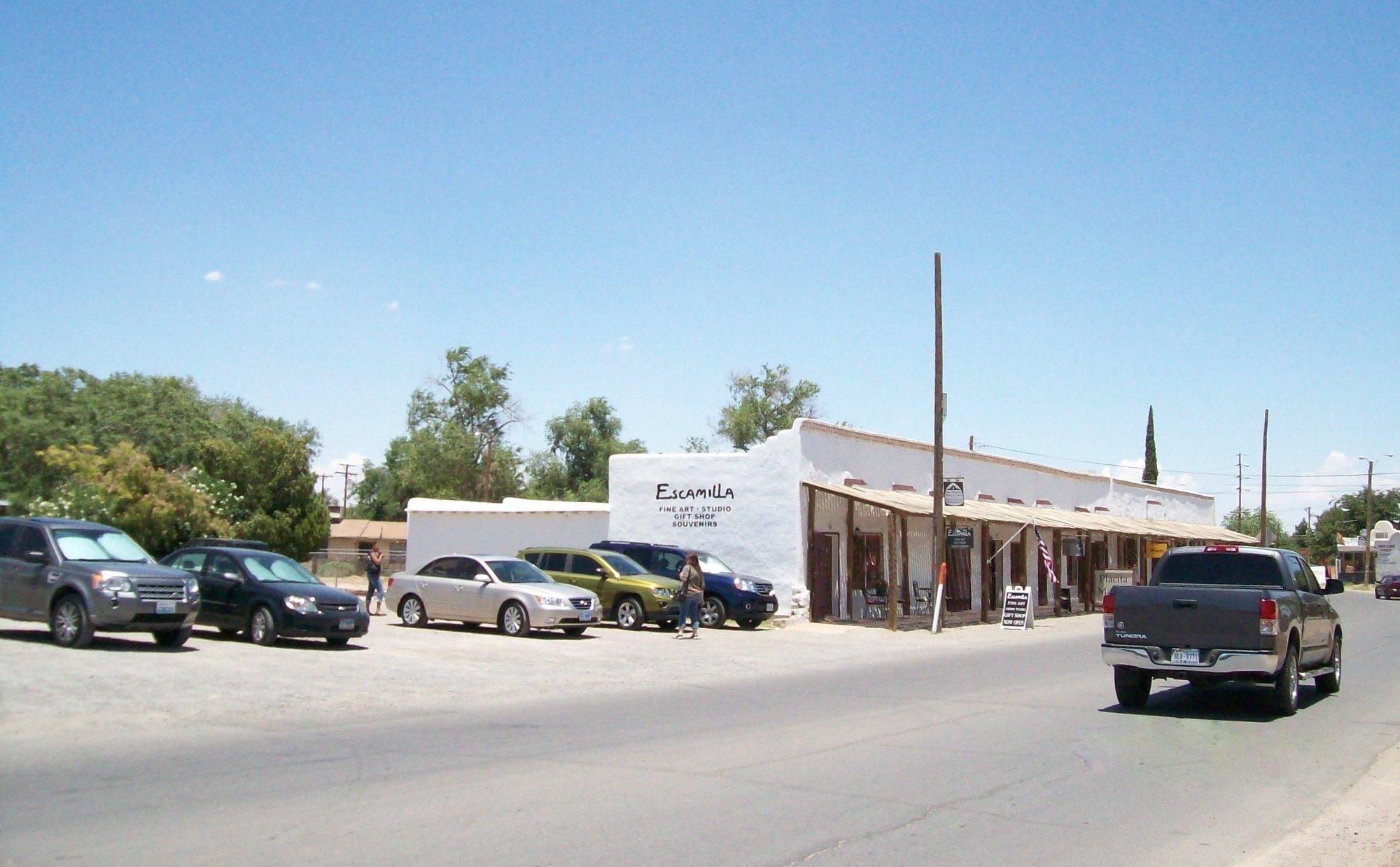
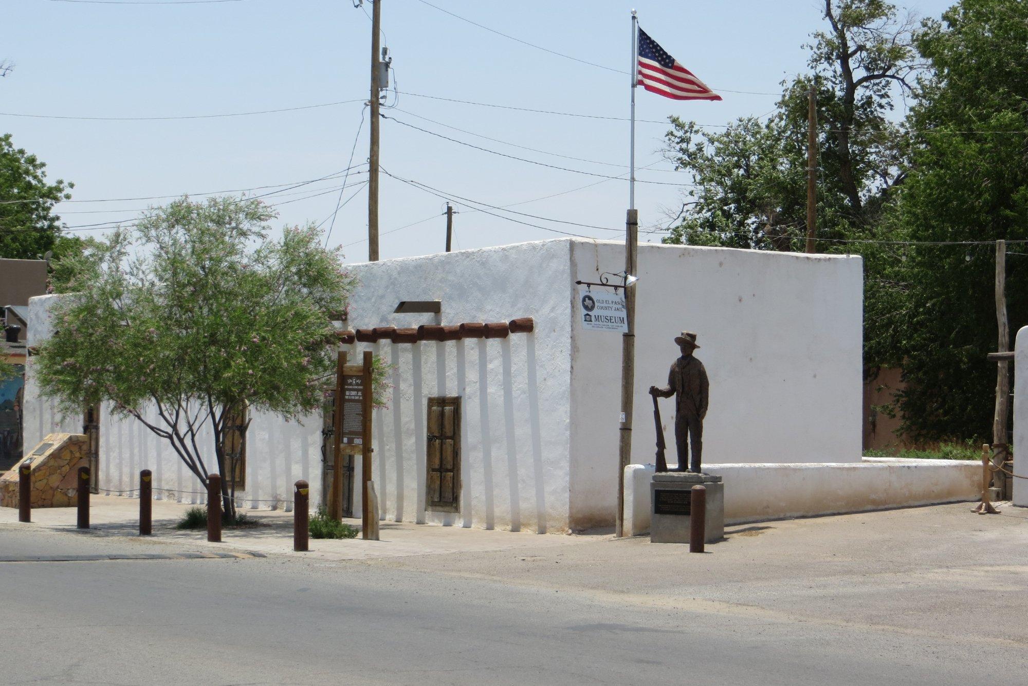
Fabens, located in the state of Texas, is a small, unincorporated community known for its rustic charm and proximity to the Rio Grande. While it may not be bustling with major tourist attractions, Fabens offers a glimpse into Texan rural life and is often appreciated for its agricultural contributions, particularly in the cultivation of cotton and pecans. The town is also known for its close-knit community and small-town atmosphere, making it a peaceful retreat for those looking to escape the hustle and bustle of urban life.
A noteworthy site in Fabens is the Fabens Airport, which serves as a hub for local aviation enthusiasts. Additionally, the town's history is rooted in its establishment as a railroad station in the early 20th century, which played a significant role in its development. Visitors to Fabens can explore its historical background and enjoy the scenic landscapes that surround the area, offering a tranquil setting for those interested in the simple pleasures of the Texan countryside.
Nearby cities include: Tornillo, TX, Clint, TX, San Elizario, TX, Agua Dulce, TX, Socorro, TX, Horizon City, TX, Homestead Meadows South, TX, Fort Hancock, TX, Homestead Meadows North, TX, Fort Bliss, TX.
Places in Fabens
Dine and drink
Eat and drink your way through town.


Can't-miss activities
Culture, natural beauty, and plain old fun.
Places to stay
Hang your (vacation) hat in a place that’s just your style.