East Tawakoni, TX
East Tawakoni, TX Map
East Tawakoni is a US city in Rains County in the state of Texas. Located at the longitude and latitude of -95.944200, 32.903100 and situated at an elevation of 143 meters. In the 2020 United States Census, East Tawakoni, TX had a population of 824 people. East Tawakoni is in the Central Standard Time timezone at Coordinated Universal Time (UTC) -6. Find directions to East Tawakoni, TX, browse local businesses, landmarks, get current traffic estimates, road conditions, and more.
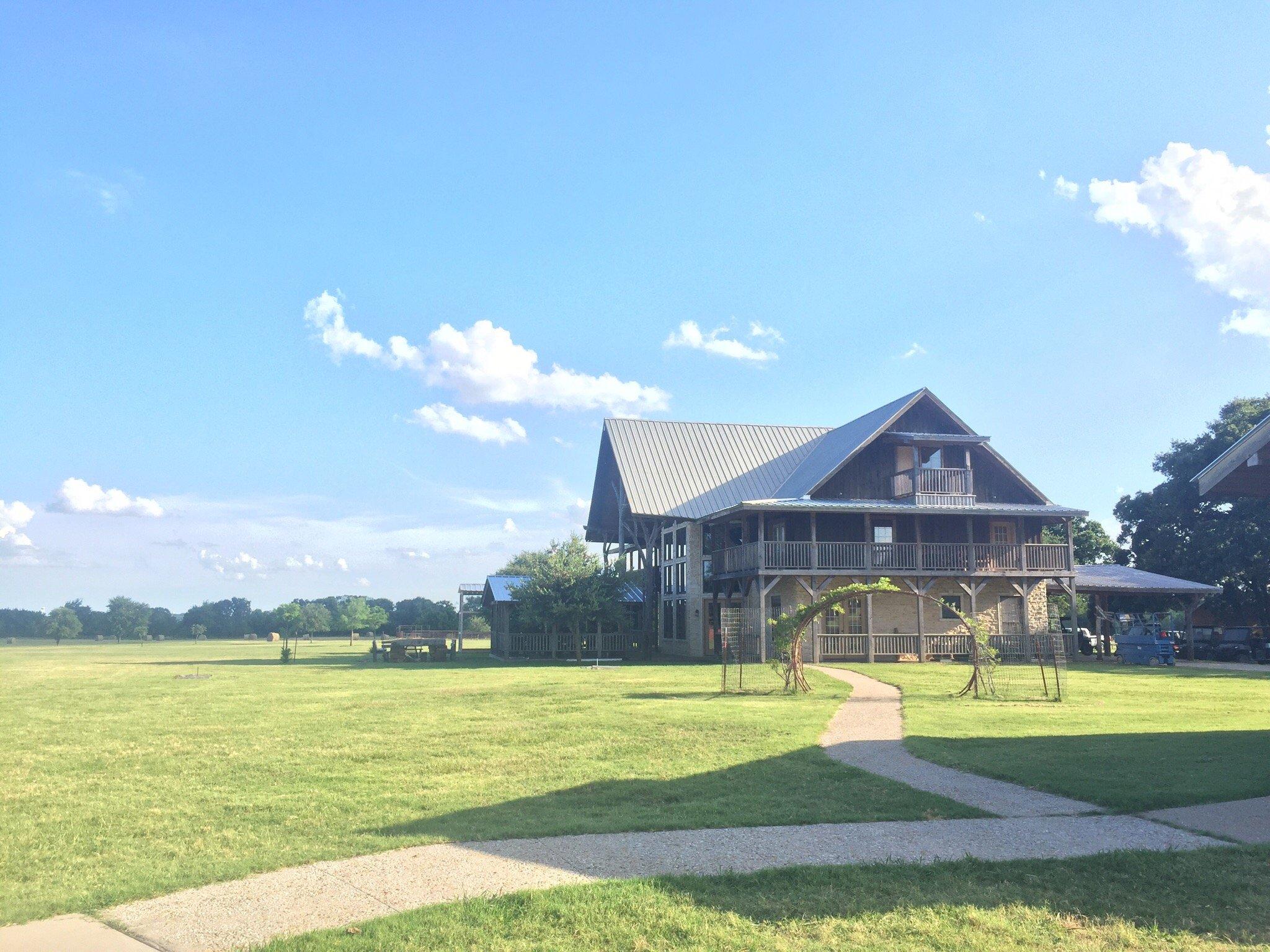
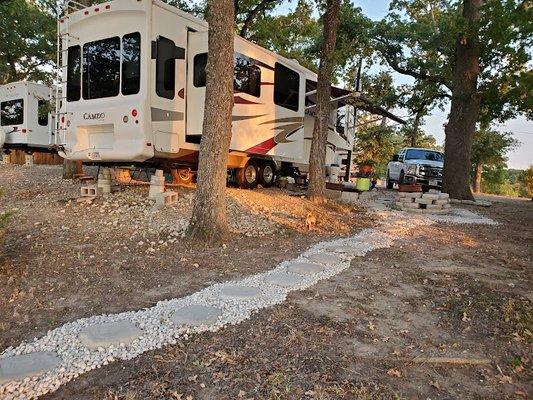
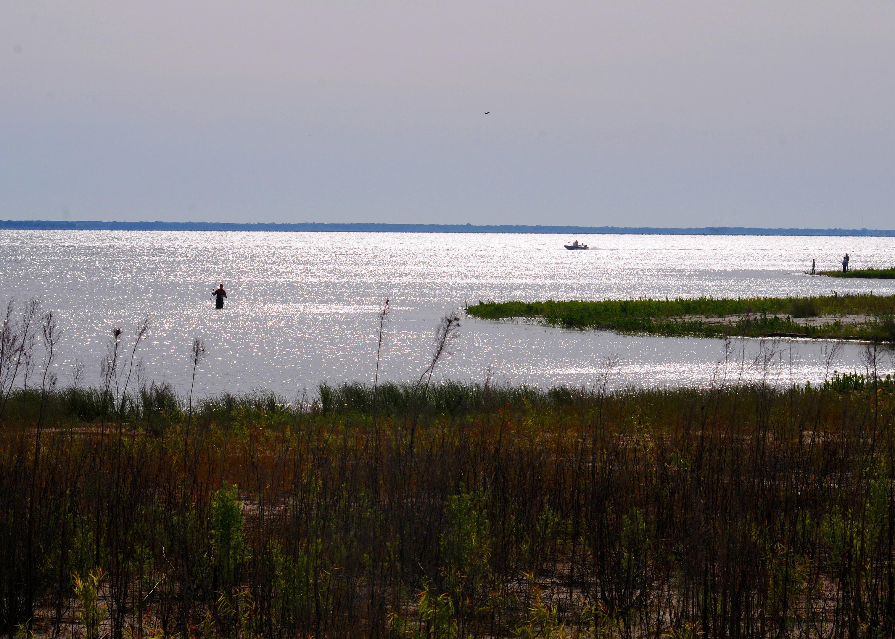
East Tawakoni, Texas, is a quaint city known for its proximity to Lake Tawakoni, a popular destination for fishing, boating, and outdoor recreation. The lake, which is one of the largest in Texas, draws visitors and locals alike who enjoy its serene beauty and the recreational opportunities it provides. The city itself offers a peaceful, small-town atmosphere, making it an ideal spot for those looking to escape the hustle and bustle of larger urban areas.
Historically, East Tawakoni developed alongside the growing popularity of Lake Tawakoni, which was formed in the mid-20th century as a reservoir to provide water for the surrounding region. The city is home to several parks and public spaces that cater to outdoor enthusiasts, including the West Tawakoni City Park, which offers picnic areas and hiking trails. Visitors can also explore local eateries and shops that reflect the community's laid-back vibe and southern hospitality.
Nearby cities include: West Tawakoni, TX, Point, TX, Lone Oak, TX, Hawk Cove, TX, Emory, TX, Quinlan, TX, Wills Point, TX, Edgewood, TX, Campbell, TX, Cumby, TX.
Places in East Tawakoni
Dine and drink
Eat and drink your way through town.


Can't-miss activities
Culture, natural beauty, and plain old fun.


Places to stay
Hang your (vacation) hat in a place that’s just your style.