Cibolo, TX
Cibolo, TX Map
Cibolo is a US city in Guadalupe County in the state of Texas. Located at the longitude and latitude of -98.235000, 29.567222 and situated at an elevation of 213 meters. In the 2020 United States Census, Cibolo, TX had a population of 32,276 people. Cibolo is in the Central Standard Time timezone at Coordinated Universal Time (UTC) -6. Find directions to Cibolo, TX, browse local businesses, landmarks, get current traffic estimates, road conditions, and more.
Cibolo, Texas, is a city that seamlessly blends its historical roots with modern suburban charm. Originally established in the late 19th century as a railroad town, Cibolo's name is derived from the Native American word for "buffalo," reflecting the area's rich cultural heritage. Today, it is known for its welcoming community and family-friendly environment. The city offers an appealing mix of quiet residential areas and vibrant local attractions, making it a delightful place to visit or call home.
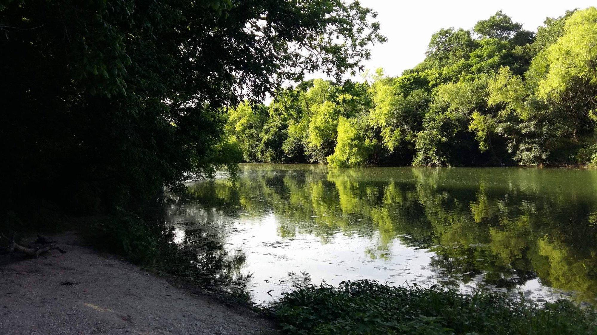
Visitors to Cibolo can enjoy a variety of popular spots, including the Cibolo Creek, which offers picturesque views and outdoor recreational opportunities such as hiking and bird-watching. Veterans Memorial Park is a local favorite, providing a serene space for reflection and community events. For those interested in shopping and dining, the downtown area features a selection of local boutiques and eateries that showcase the city's unique character. With its combination of historical significance and contemporary appeal, Cibolo offers a charming and enriching experience for all who explore it.
Nearby cities include: Schertz, TX, Universal City, TX, Santa Clara, TX, Selma, TX, Marion, TX, Converse, TX, Garden Ridge, TX, Live Oak, TX, Windcrest, TX, New Berlin, TX.
Places in Cibolo
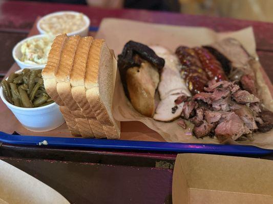
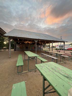
Dine and drink
Eat and drink your way through town.


Can't-miss activities
Culture, natural beauty, and plain old fun.


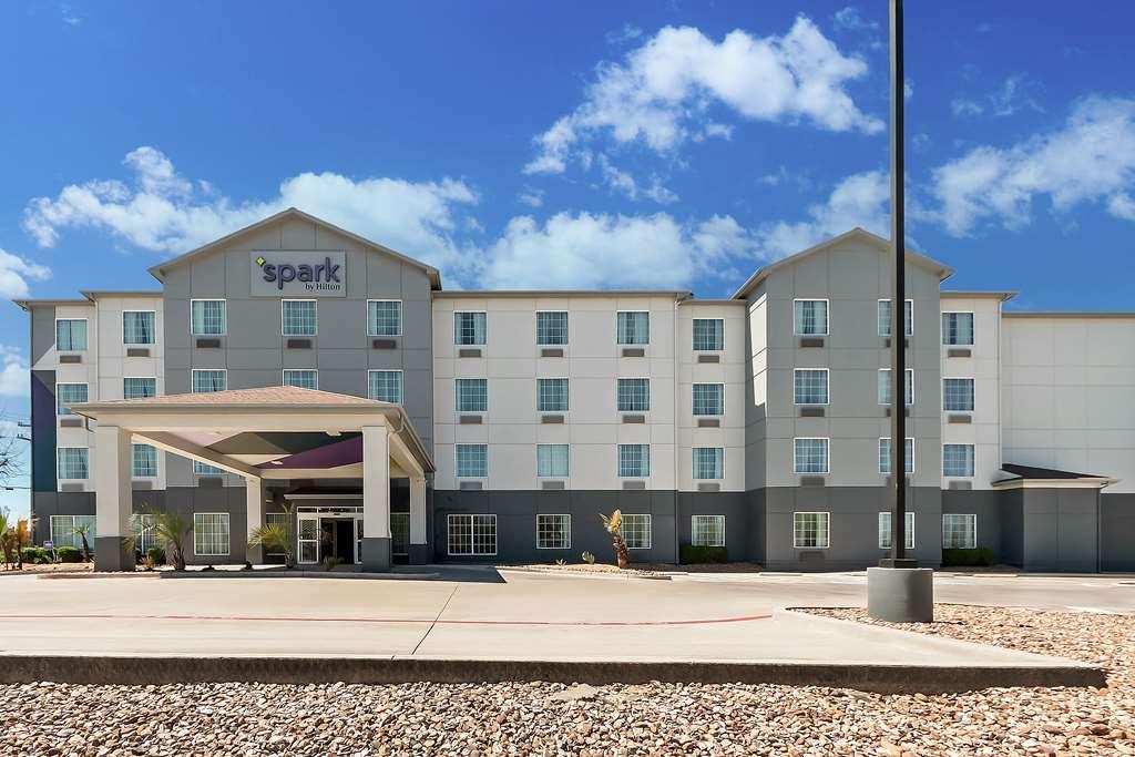
Places to stay
Hang your (vacation) hat in a place that’s just your style.