Buffalo Springs, TX
Buffalo Springs, TX Map
Buffalo Springs is a US city in Lubbock County in the state of Texas. Located at the longitude and latitude of -101.708220, 33.532030 and situated at an elevation of 920 meters. In the 2020 United States Census, Buffalo Springs, TX had a population of 468 people. Buffalo Springs is in the Central Standard Time timezone at Coordinated Universal Time (UTC) -6. Find directions to Buffalo Springs, TX, browse local businesses, landmarks, get current traffic estimates, road conditions, and more.
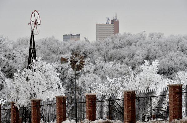
Buffalo Springs, Texas, is a small but charming locale known primarily for its picturesque lake and outdoor recreational opportunities. The centerpiece of the area is Buffalo Springs Lake, a popular destination for fishing, boating, and camping enthusiasts. This man-made reservoir offers a serene escape with its clear waters and surrounding natural beauty, attracting visitors who enjoy picnicking or hiking along its scenic trails. The lake is also a venue for various events and festivals throughout the year, adding to its appeal as a community gathering spot.
In terms of history, Buffalo Springs has roots that trace back to the mid-20th century when the lake was created as part of a flood control project. Since then, it has evolved into a beloved recreational area. Visitors can explore the quaint parks and enjoy the laid-back atmosphere that characterizes this Texan gem. While it may not boast the bustling urban life of larger cities, Buffalo Springs offers a peaceful retreat for those seeking tranquility and a connection with nature.
Nearby cities include: Ransom Canyon, TX, Slaton, TX, Lubbock, TX, Idalou, TX, Lorenzo, TX, Wilson, TX, New Deal, TX, Wolfforth, TX, New Home, TX, Shallowater, TX.
Places in Buffalo Springs
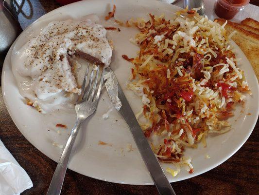
Dine and drink
Eat and drink your way through town.


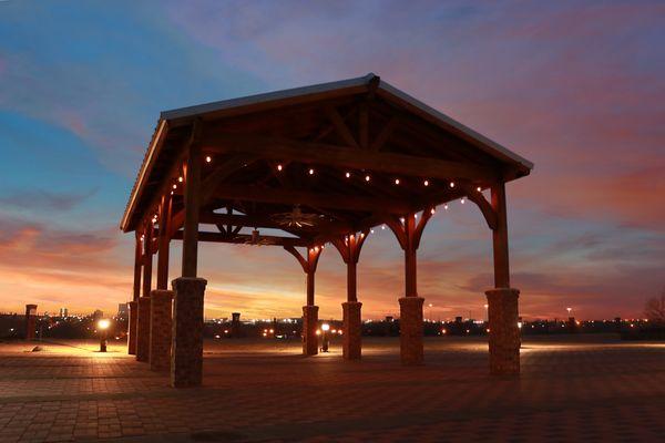
Can't-miss activities
Culture, natural beauty, and plain old fun.

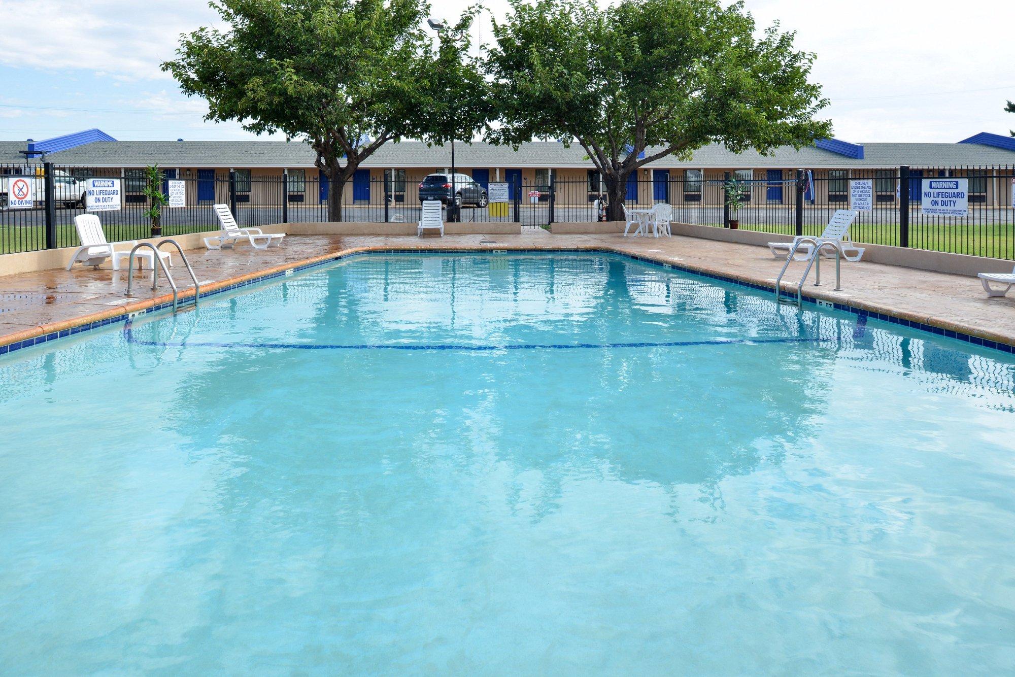
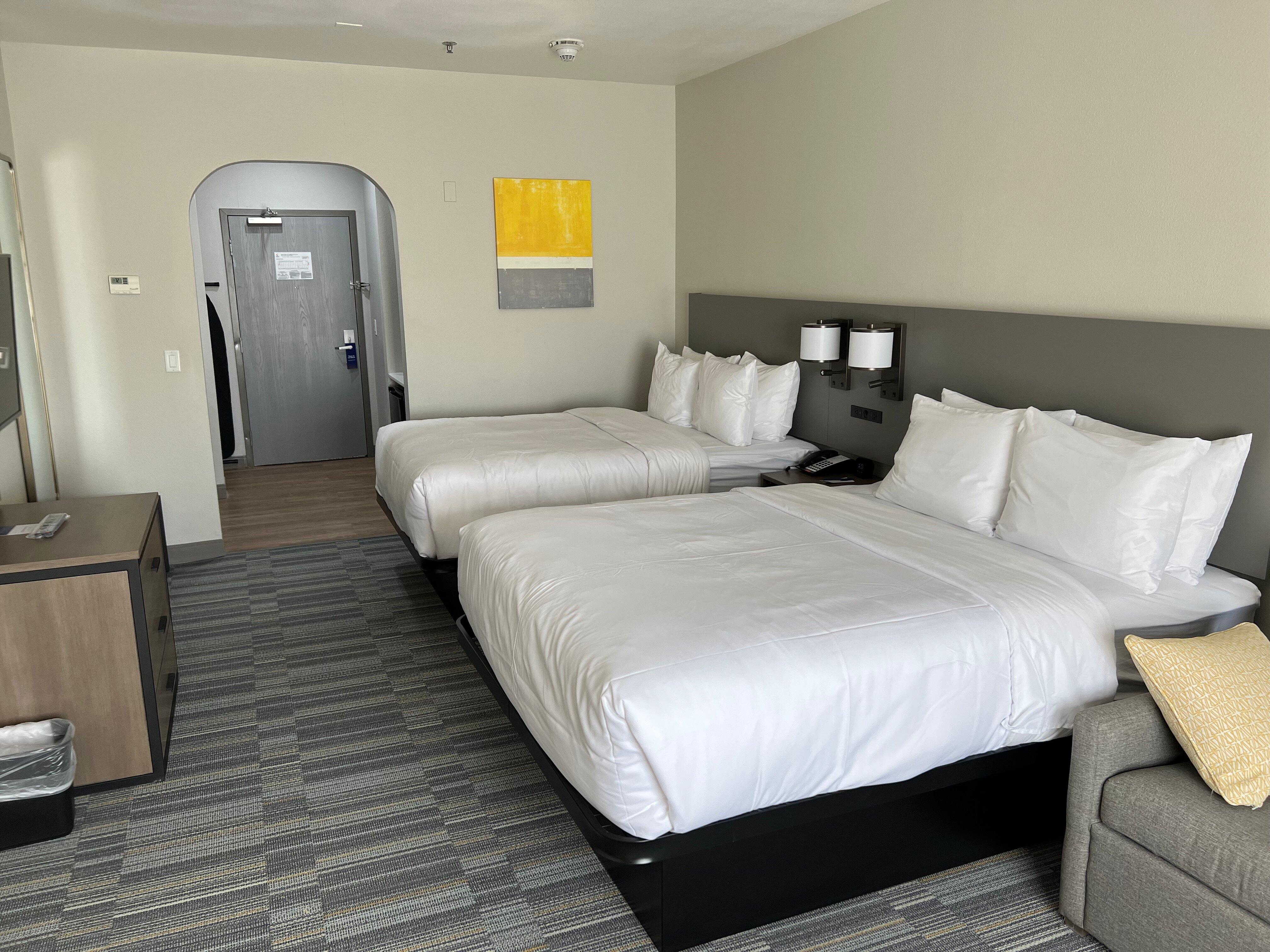
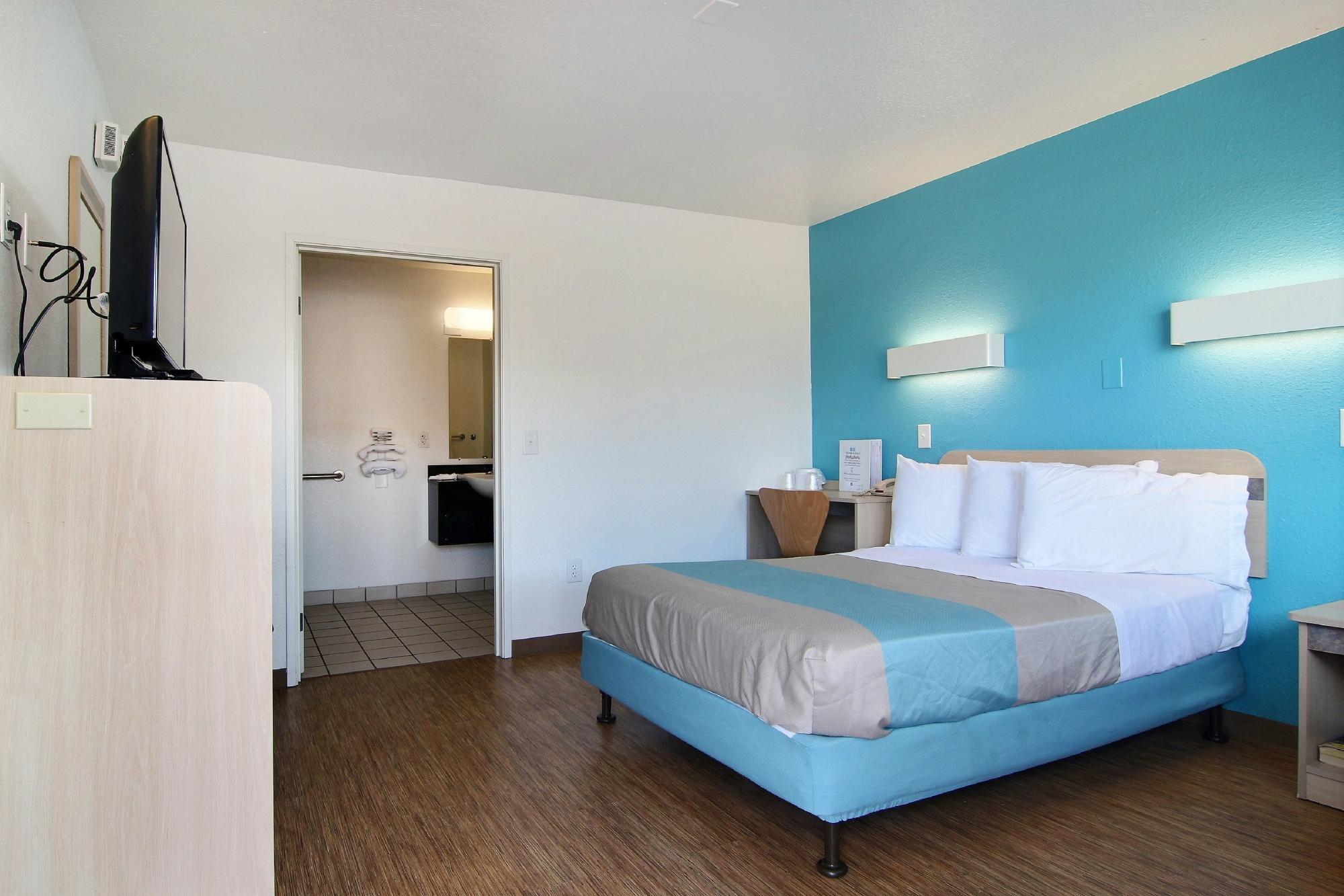
Places to stay
Hang your (vacation) hat in a place that’s just your style.