Bellevue, TX
Bellevue Map
Bellevue is a city in Clay County, Texas, United States. It is part of the Wichita Falls, Texas Metropolitan Statistical Area. The population was 386 at the 2000 census. There is speculation it was named after Bellevue Hospital in New York City, but most believe it was named by a French settler that named the town belle vue (meaning beautiful view in French).
The sparsely settled area developed around 1882, when it was selected as a railroad shipping station. The community has had several declines and resurges. In 1902, the community incorporated, but then it was almost wiped out by a tornado in 1906. During the Depression many residents left, but this trend was slowed by the discovery of petroleum. Afterwards, the decline continued.
Bellevue is located at 33°38?7?N 98°0?56?W / 33.63528°N 98.01556°W / 33.63528; -98.01556 (33.635221, -98.015609).
Nearby cities include Bowie, Henrietta, Montague, Terral, Sunset.
Places in Bellevue
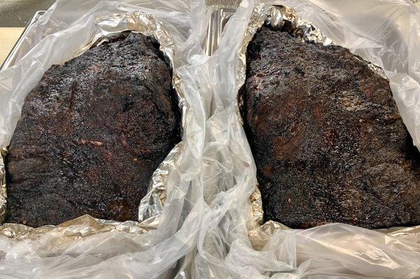
Dine and drink
Eat and drink your way through town.


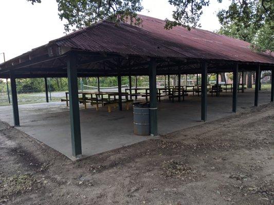
Can't-miss activities
Culture, natural beauty, and plain old fun.


Places to stay
Hang your (vacation) hat in a place that’s just your style.