Argyle, TX
Argyle, TX Map
Argyle is a US city in Denton County in the state of Texas. Located at the longitude and latitude of -97.185280, 33.116390 and situated at an elevation of 213 meters. In the 2020 United States Census, Argyle, TX had a population of 4,403 people. Argyle is in the Central Standard Time timezone at Coordinated Universal Time (UTC) -6. Find directions to Argyle, TX, browse local businesses, landmarks, get current traffic estimates, road conditions, and more.
Argyle, Texas, is a quaint town characterized by its rural charm and a strong sense of community. Known for its serene landscapes and equestrian culture, Argyle has become a haven for those seeking a peaceful retreat away from the bustling city life. The town is dotted with picturesque horse farms and ranches, making it a popular spot for equine enthusiasts. A notable landmark is the Argyle Independent School District, which is highly regarded for its educational excellence and active participation in local events, fostering a tight-knit community atmosphere.
Visitors to Argyle can explore the local dining scene, which offers a mix of cozy cafes and family-owned eateries that reflect the town's warm and welcoming spirit. The annual Argyle Bluegrass Festival is a highlight, drawing music lovers from across the region to enjoy lively performances in a friendly, laid-back setting. The town's history is rooted in its agricultural beginnings, and while it has experienced growth over the years, Argyle has managed to maintain its small-town appeal. This blend of history, community, and countryside allure makes Argyle a unique destination in the heart of Texas.
Nearby cities include: Draper, TX, Bartonville, TX, Lantana, TX, Northlake, TX, Copper Canyon, TX, Double Oak, TX, Justin, TX, Corinth, TX, Ponder, TX, Denton, TX.
Places in Argyle
Dine and drink
Eat and drink your way through town.


Can't-miss activities
Culture, natural beauty, and plain old fun.


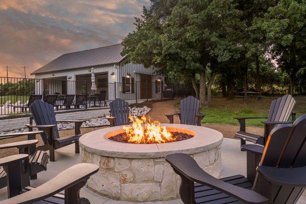
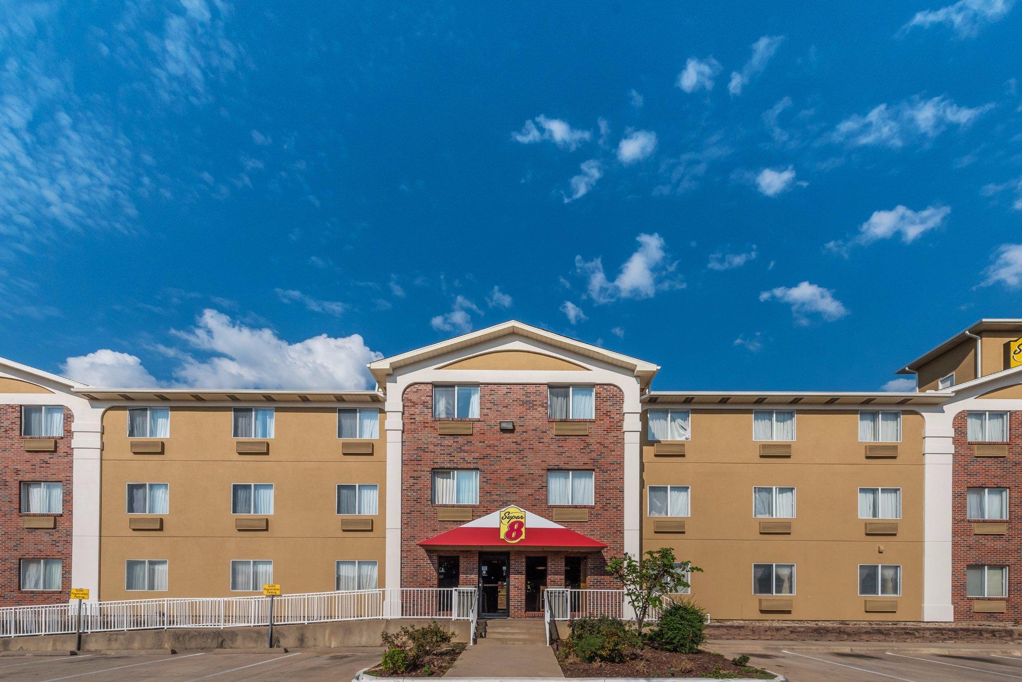
Places to stay
Hang your (vacation) hat in a place that’s just your style.