Lansdale, PA
Lansdale, PA Map
Lansdale is a US city in Montgomery County in the state of Pennsylvania. Located at the longitude and latitude of -75.284200, 40.241900 and situated at an elevation of 361 meters. In the 2010 United States Census, Lansdale, PA had a population of 18,773 people. Lansdale is in the Eastern Standard Time timezone at Coordinated Universal Time (UTC) -5. Find directions to Lansdale, PA, browse local businesses, landmarks, get current traffic estimates, road conditions, and more.
Lansdale, located in Pennsylvania, is a quaint town that offers a blend of small-town charm and modern conveniences. Known for its strong sense of community and vibrant local events, Lansdale boasts a lively downtown area with a variety of shops, restaurants, and cafes that cater to diverse tastes. The town is also home to several parks and recreational facilities, providing ample opportunities for outdoor activities and family-friendly fun. With a convenient location near major highways and public transportation options, Lansdale serves as a practical base for exploring the broader Philadelphia region while enjoying a peaceful suburban atmosphere.
Nearby cities include: North Wales, PA, Montgomeryville, PA, Hatfield, PA, Kulpsville, PA, Brittany Farms-The Highlands, PA, Spring House, PA, Chalfont, PA, Souderton, PA, Harleysville, PA, Telford, PA.
Places in Lansdale
Dine and drink
Eat and drink your way through town.


Can't-miss activities
Culture, natural beauty, and plain old fun.


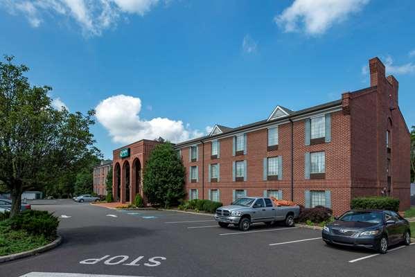
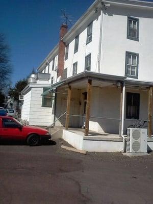
Places to stay
Hang your (vacation) hat in a place that’s just your style.