Bally, PA
Bally, PA Map
Bally is a US city in Berks County in the state of Pennsylvania. Located at the longitude and latitude of -75.588300, 40.401100 and situated at an elevation of 79 meters. In the 2020 United States Census, Bally, PA had a population of 1,228 people. Bally is in the Eastern Standard Time timezone at Coordinated Universal Time (UTC) -5. Find directions to Bally, PA, browse local businesses, landmarks, get current traffic estimates, road conditions, and more.
Bally, Pennsylvania, is a small town with a rich historical backdrop, known primarily for its deep-rooted Pennsylvania Dutch heritage. This quaint locale is home to the Bally Mennonite Church, which stands as a testament to the area's religious and cultural history. The town exudes a peaceful, rural charm that is characteristic of many communities in this part of the state.
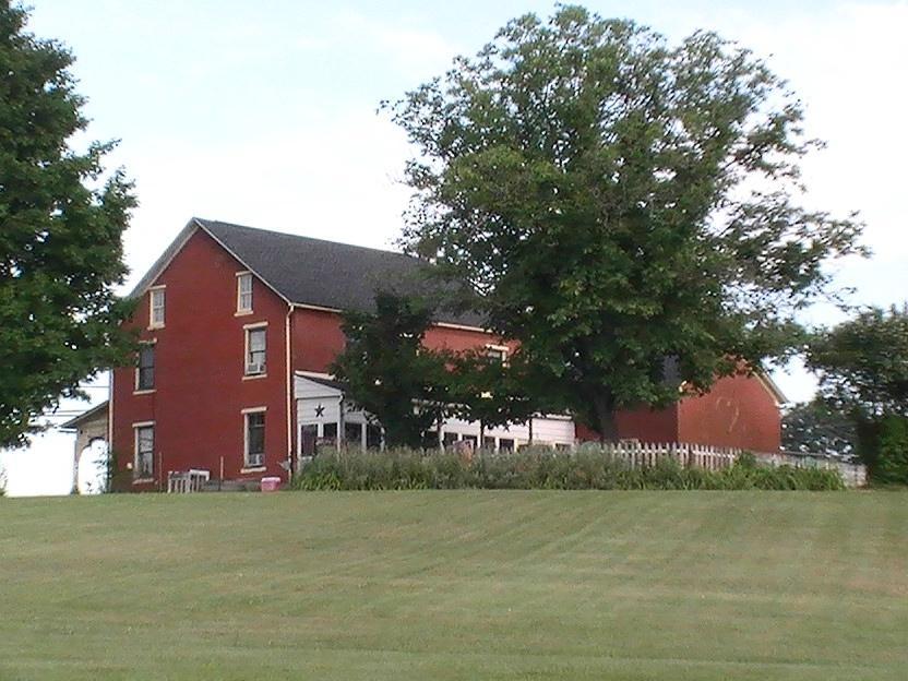
A notable attraction in Bally is the Landis Store Hotel, a historic building that offers a glimpse into the past with its well-preserved architecture and serves as a reminder of the town's 19th-century origins. Outdoor enthusiasts might enjoy the nearby Green Lane Park, which provides opportunities for hiking, fishing, and picnicking. Bally's community events, often centered around its agricultural roots, offer visitors a chance to experience local traditions and hospitality firsthand.
Nearby cities include: Douglass, PA, Bechtelsville, PA, Hereford, PA, New Berlinville, PA, East Greenville, PA, Pennsburg, PA, Boyertown, PA, Upper Hanover, PA, Red Hill, PA, Gilbertsville, PA.
Places in Bally
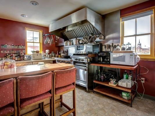
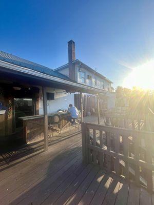
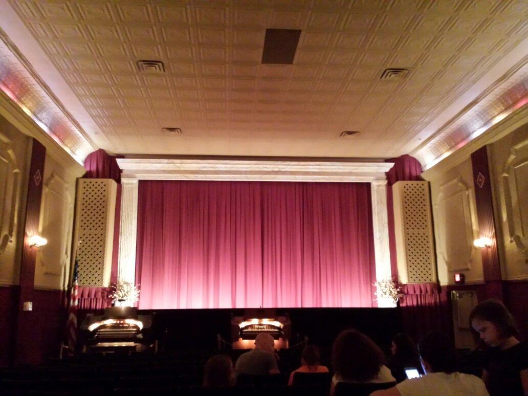
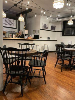
Dine and drink
Eat and drink your way through town.


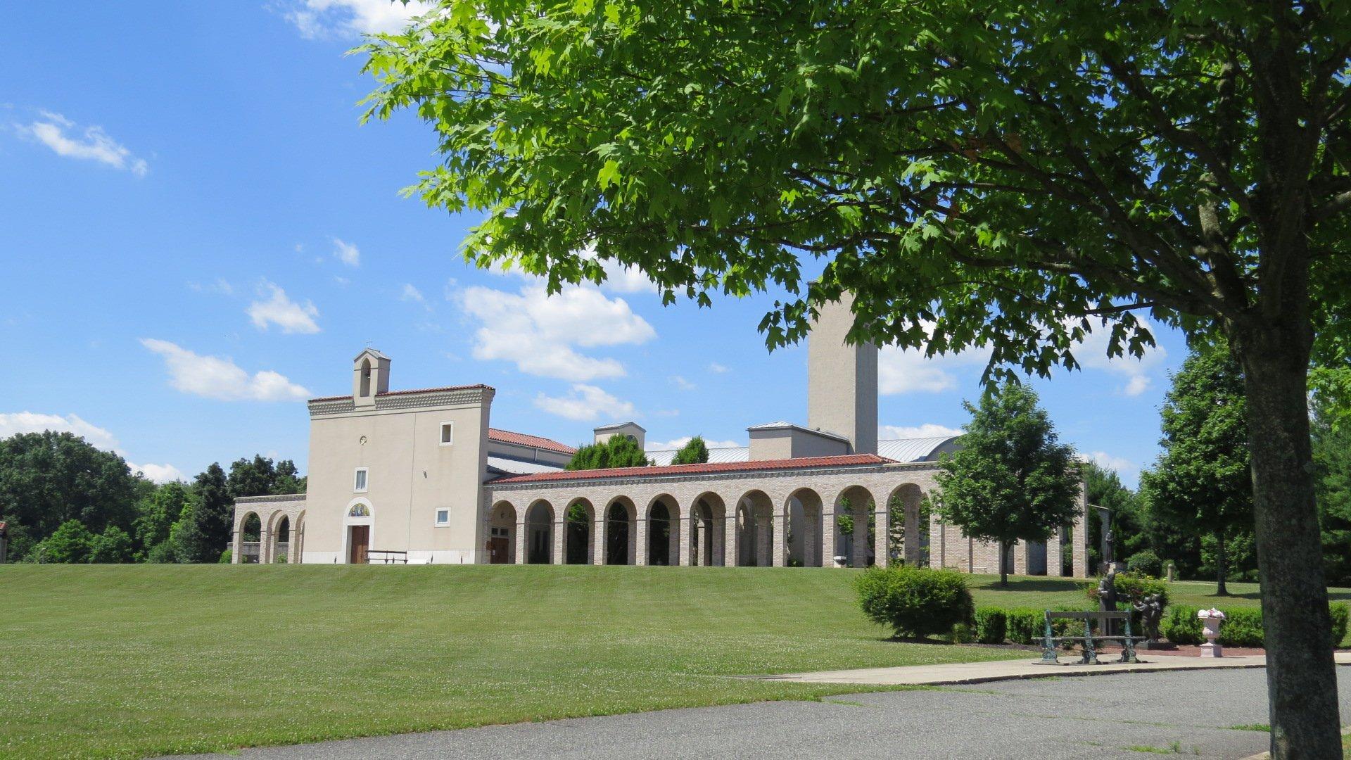
Can't-miss activities
Culture, natural beauty, and plain old fun.

Places to stay
Hang your (vacation) hat in a place that’s just your style.