Falls City, OR
Falls City Map
Falls City is a city in Polk County, Oregon, United States. The population was 966 at the 2000 census. It is part of the Salem Metropolitan Statistical Area.
Falls City is named after a waterfall in the Little Luckiamute River that passes through the center of town. In the past it was a lumbermill town and once had three mills in operation, a bank, hotel, soda shop, jail, and several grocery stores and bars. It formerly supported a large logging population and other population centers in the hills of the Coast Range, such as the smaller lumber-based community of Black Rock and the company-owned mill town Valsetz.
According to the United States Census Bureau, the city has a total area of 1.2 square miles (3.2 km2), all of it land.
Nearby cities include Rickreall, Independence, Willamina, Grand Ronde, Sheridan.
Places in Falls City
Dine and drink
Eat and drink your way through town.


Can't-miss activities
Culture, natural beauty, and plain old fun.


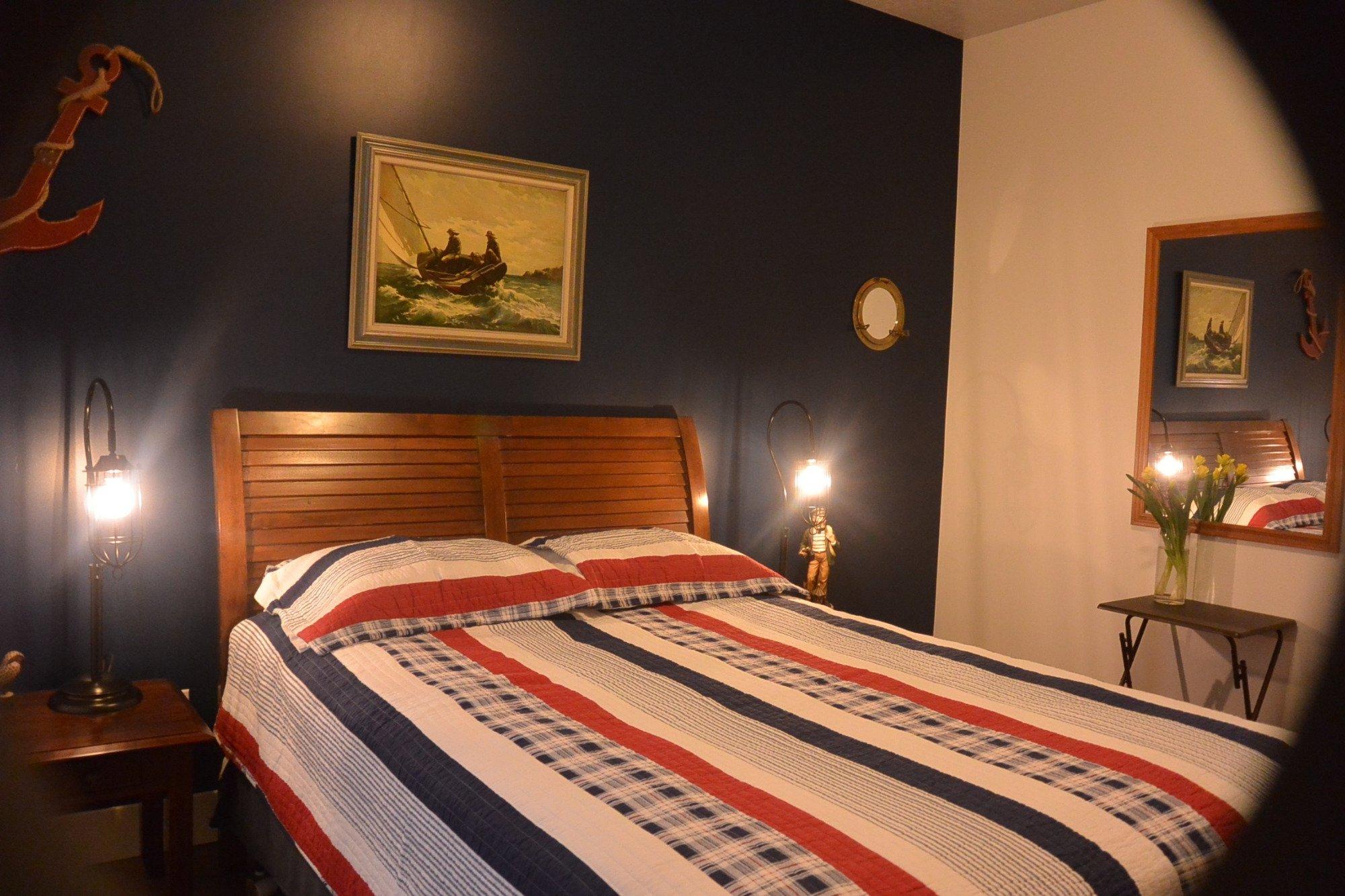
Places to stay
Hang your (vacation) hat in a place that’s just your style.