Terlton, OK
Terlton, OK Map
Terlton is a US city in Pawnee County in the state of Oklahoma. Located at the longitude and latitude of -96.491111, 36.187778 and situated at an elevation of 240 meters. In the 2020 United States Census, Terlton, OK had a population of 77 people. Terlton is in the Central Standard Time timezone at Coordinated Universal Time (UTC) -6. Find directions to Terlton, OK, browse local businesses, landmarks, get current traffic estimates, road conditions, and more.
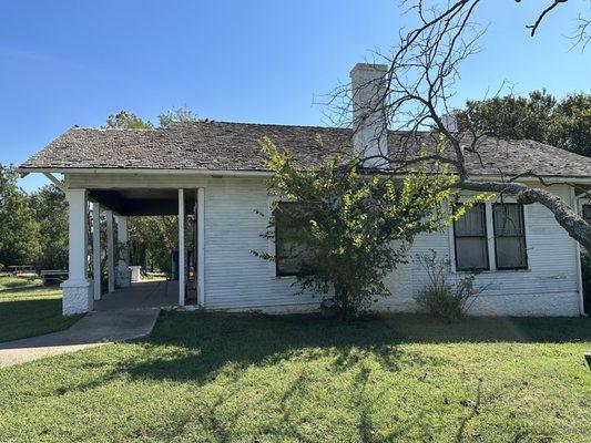
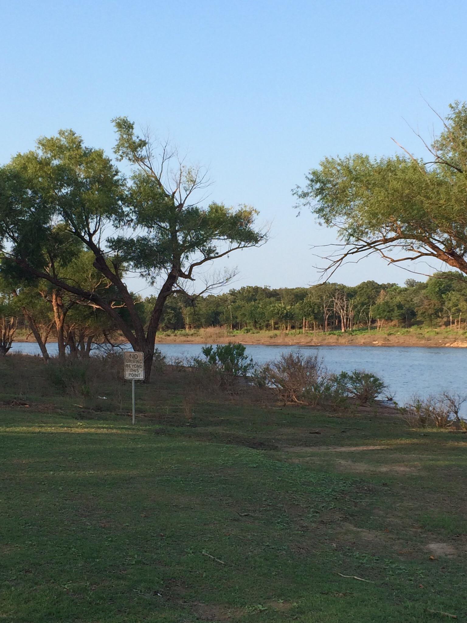
Terlton, Oklahoma, is a small town imbued with a quaint and rustic charm often associated with rural America. While it may not boast the bustling attractions of larger cities, Terlton offers a glimpse into the serene and simple life of the Oklahoma countryside. The town is primarily known for its tight-knit community and the welcoming nature of its residents, making it a peaceful retreat for those seeking a break from the hustle and bustle of urban life.
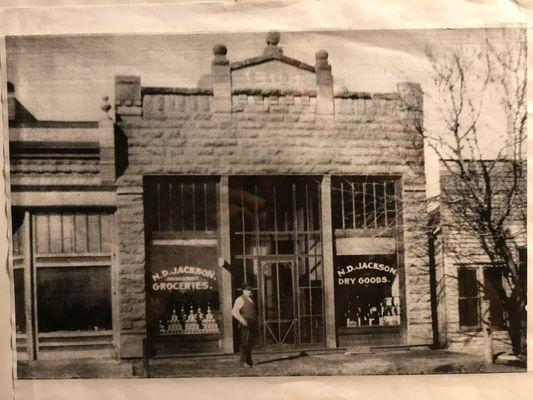
Historically, Terlton has roots that trace back to the early 20th century, when it served as a modest hub for local agriculture and trade. Visitors can explore the remnants of its past through its vintage architecture and visit local landmarks that echo its small-town history. While in Terlton, one can enjoy leisurely strolls, engage with friendly locals, and take in the expansive Oklahoma landscapes, providing a genuine experience of life in a traditional American heartland town.
Nearby cities include: Jennings, OK, Hallett, OK, Lawrence Creek, OK, Cleveland, OK, Osage, OK, Oak Grove, OK, Oilton, OK, Mannford, OK, Westport, OK, Maramec, OK.
Places in Terlton
Dine and drink
Eat and drink your way through town.


Can't-miss activities
Culture, natural beauty, and plain old fun.
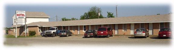
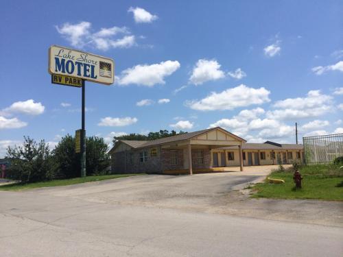
Places to stay
Hang your (vacation) hat in a place that’s just your style.