Hooksett, NH
Hooksett, NH Map
Hooksett is a US city in Merrimack County in the state of New Hampshire. Located at the longitude and latitude of -71.465000, 43.096667 and situated at an elevation of 65 meters. In the 2020 United States Census, Hooksett, NH had a population of 14,871 people. Hooksett is in the Eastern Standard Time timezone at Coordinated Universal Time (UTC) -5. Find directions to Hooksett, NH, browse local businesses, landmarks, get current traffic estimates, road conditions, and more.
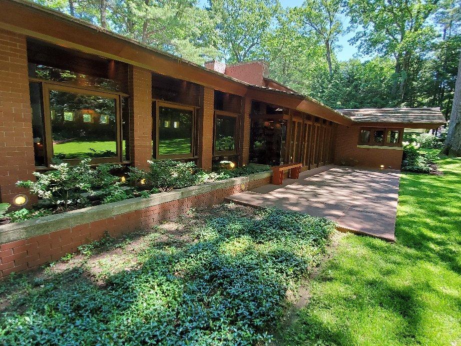
Hooksett, New Hampshire, is a charming town that offers a blend of historical significance and modern conveniences. Known primarily for its picturesque landscapes and the Merrimack River that flows through its heart, Hooksett serves as a serene escape in the Granite State. The town is home to Robie's Country Store, a historic landmark that has been serving the community since the 1800s and is recognized on the National Register of Historic Places. This store provides visitors with a glimpse into the town's past while offering a selection of local goods and memorabilia.
For those interested in outdoor activities, Hooksett doesn't disappoint. Bear Brook State Park, located nearby, is a popular destination for hiking, biking, and camping, offering miles of trails and scenic views. Additionally, the town features a segment of the New Hampshire Heritage Trail, perfect for those looking to explore the area's natural beauty on foot. Hooksett's blend of history, outdoor recreation, and community charm makes it a noteworthy destination for travelers seeking a quintessential New England experience.
Nearby cities include: Suncook, NH, Bow Bog, NH, Pembroke, NH, Manchester, NH, Concord, NH, Goffstown, NH, Auburn, NH, Candia, NH, East Concord, NH, Bedford, NH.
Places in Hooksett
Dine and drink
Eat and drink your way through town.


Can't-miss activities
Culture, natural beauty, and plain old fun.

Places to stay
Hang your (vacation) hat in a place that’s just your style.