Long Pine, NE
Long Pine, NE Map
Long Pine is a US city in Brown County in the state of Nebraska. Located at the longitude and latitude of -99.702778, 42.535833 and situated at an elevation of 732 meters. In the 2020 United States Census, Long Pine, NE had a population of 305 people. Long Pine is in the Central Standard Time timezone at Coordinated Universal Time (UTC) -6. Find directions to Long Pine, NE, browse local businesses, landmarks, get current traffic estimates, road conditions, and more.
Long Pine, Nebraska, is a small town known for its rich history and the natural beauty of the surrounding area. The town is perhaps best known for Long Pine State Recreation Area, which offers visitors a picturesque setting for camping, fishing, and hiking. The area's rugged terrain and scenic views make it a popular destination for outdoor enthusiasts. The town's name derives from the Long Pine Creek, a vital waterway that has historically supported the town's development and continues to be a focal point for recreational activities.
History enthusiasts will appreciate the Long Pine Heritage House Museum, which provides a glimpse into the town's past through a collection of artifacts and exhibits. The museum is housed in a charming building that once served as a railroad depot, reflecting the town's origins as a railroad hub in the late 19th century. The town's historical significance is further highlighted by the remnants of the Chicago and North Western Railroad, which played a crucial role in its early growth. Long Pine's combination of historical charm and natural beauty makes it a unique and interesting destination for visitors seeking a peaceful retreat.
Nearby cities include: Ainsworth, NE, Bassett, NE, Johnstown, NE, Newport, NE, Springview, NE, Burton, NE, Wood Lake, NE, Stuart, NE, Rames, SD, Keyapaha, SD.
Places in Long Pine
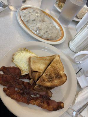
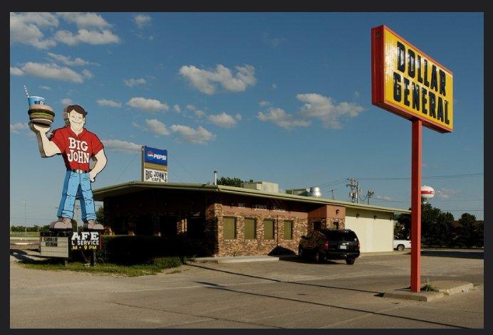
Dine and drink
Eat and drink your way through town.


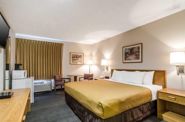
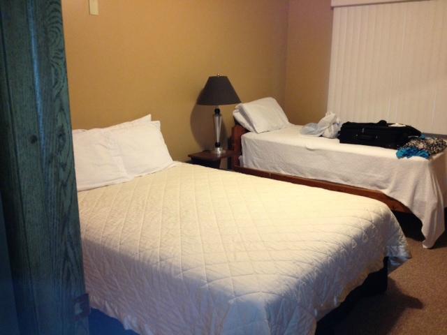
Places to stay
Hang your (vacation) hat in a place that’s just your style.