Tebbetts, MO
Tebbetts, MO Map
Tebbetts is a US city in Callaway County in the state of Missouri. Located at the longitude and latitude of -91.984700, 38.638600 and situated at an elevation of 172 meters. In the 2020 United States Census, Tebbetts, MO had a population of 64 people. Tebbetts is in the Central Standard Time timezone at Coordinated Universal Time (UTC) -6. Find directions to Tebbetts, MO, browse local businesses, landmarks, get current traffic estimates, road conditions, and more.
Tebbetts, Missouri, is a small, unassuming locale that offers a quaint glimpse into rural American life. Known for its proximity to the Katy Trail, a popular spot for cycling and hiking enthusiasts, Tebbetts provides a perfect pit stop for those traversing this scenic route. A notable landmark in the area is the Turner Katy Trail Shelter, which offers unique overnight accommodations for trail users, adding a touch of rustic charm to the journey. The shelter is a beloved feature of the trail, embodying the hospitality and community spirit that Tebbetts is known for.
The town's history is intertwined with the development of the Missouri-Kansas-Texas Railroad, which played a significant role in its establishment and growth. While Tebbetts may not boast extensive tourist attractions, its historical roots and serene environment offer a peaceful retreat for visitors looking to explore the less-trodden paths of Missouri. It's a place where the simplicity of small-town life meets the natural beauty of the surrounding landscape, making it a charming destination for those seeking tranquility and a touch of history.
Nearby cities include: Cote Sans Dessein, MO, Caldwell, MO, Mokane, MO, Summit, MO, Lake Mykee Town, MO, Holts Summit, MO, New Bloomfield, MO, Cedar, MO, Taos, MO, Jefferson City, MO.
Places in Tebbetts
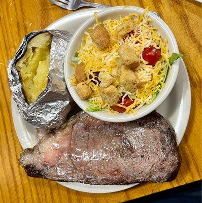
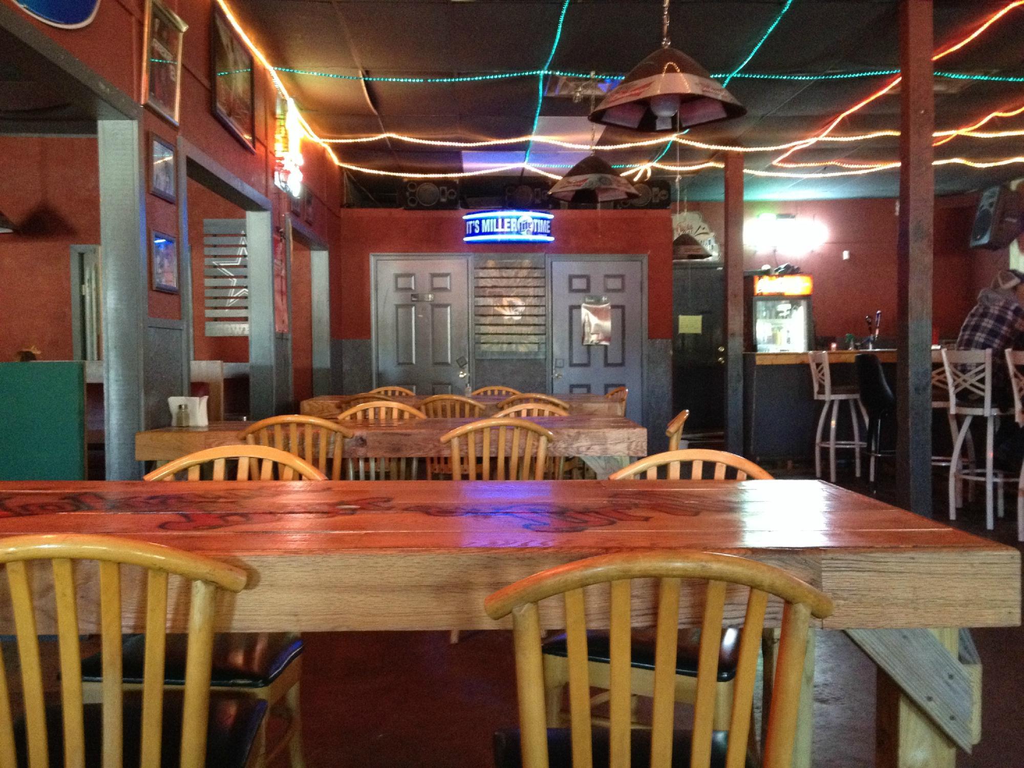
Dine and drink
Eat and drink your way through town.

Can't-miss activities
Culture, natural beauty, and plain old fun.


Places to stay
Hang your (vacation) hat in a place that’s just your style.