Lamar Heights, MO
Lamar Heights, MO Map
Lamar Heights is a US city in Barton County in the state of Missouri. Located at the longitude and latitude of -94.292500, 37.492500 and situated at an elevation of 295 meters. In the 2020 United States Census, Lamar Heights, MO had a population of 170 people. Lamar Heights is in the Central Standard Time timezone at Coordinated Universal Time (UTC) -6. Find directions to Lamar Heights, MO, browse local businesses, landmarks, get current traffic estimates, road conditions, and more.
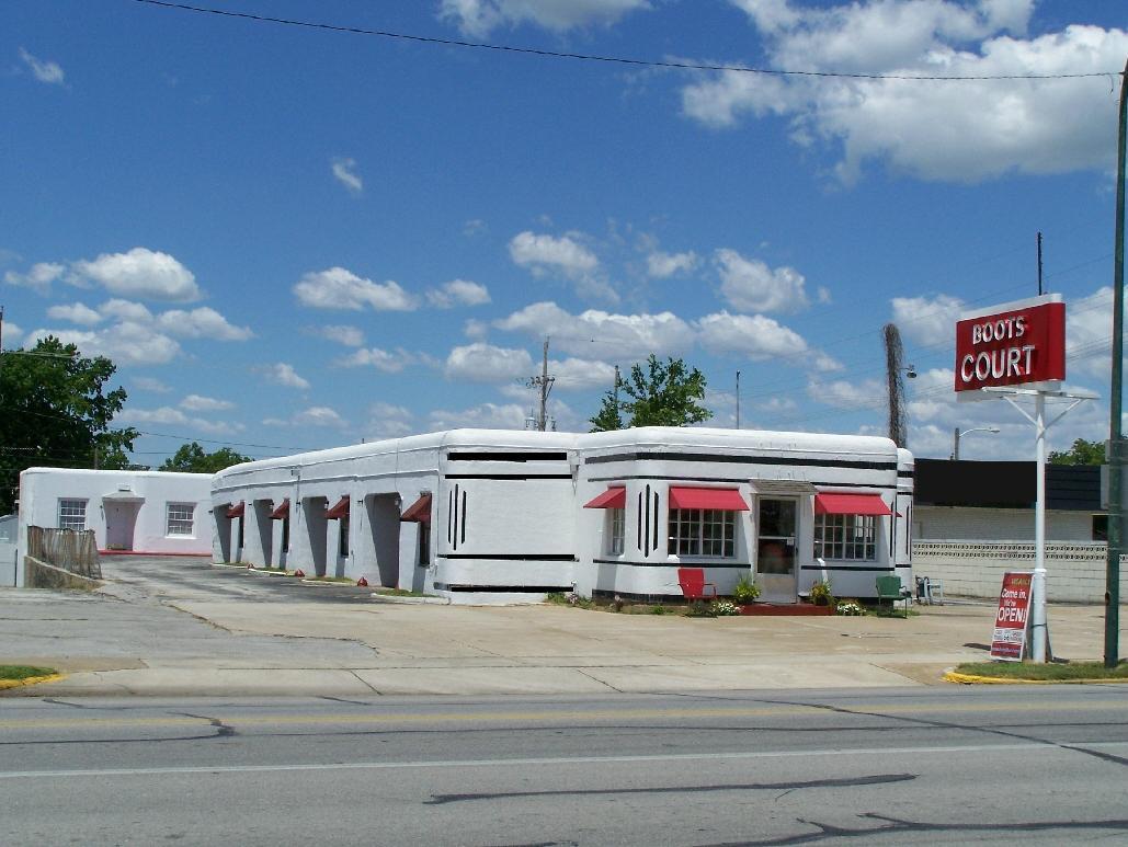
Lamar Heights, nestled in the heart of Missouri, is a city that embodies small-town charm with a rich backdrop of history and community spirit. Known for its friendly atmosphere and close-knit community, Lamar Heights offers a glimpse into traditional American life. The city takes pride in its historical landmarks, which include beautifully preserved buildings that echo stories of its past. Visitors often find themselves drawn to the local parks, which provide a serene setting for picnics and leisurely strolls.
A notable attraction in Lamar Heights is its vibrant local markets, where residents and visitors alike can explore a variety of local produce and handcrafted goods, reflecting the city's agricultural roots and artisan culture. The community frequently hosts festivals and events that celebrate its heritage, making it a lively spot for those interested in experiencing authentic local traditions. Whether you're exploring the historical architecture or participating in community events, Lamar Heights offers a genuine taste of Missouri's heartland.
Nearby cities include: Lamar, MO, Richland, MO, Union, MO, Doylesport, MO, Northfork, MO, Milford, MO, Jasper, MO, Sheldon, MO, Golden City, MO, Golden City, MO.
Places in Lamar Heights
Dine and drink
Eat and drink your way through town.


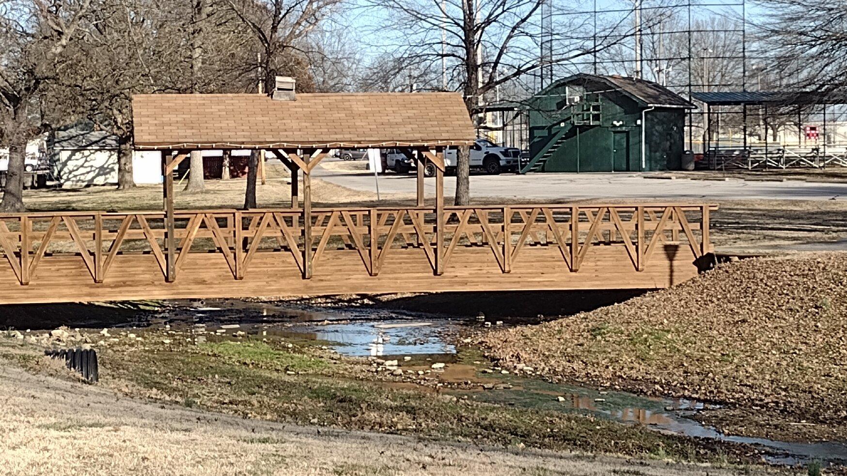
Can't-miss activities
Culture, natural beauty, and plain old fun.


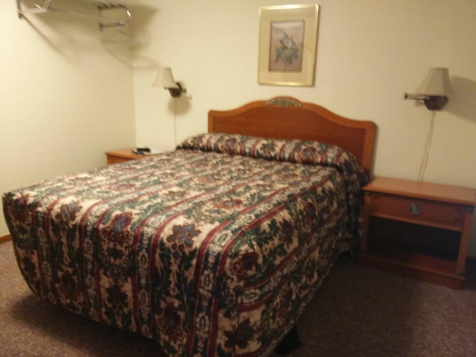
Places to stay
Hang your (vacation) hat in a place that’s just your style.