Clayton, MO
Clayton Map
Clayton is an inner-ring suburb of St. Louis and the county seat of St. Louis County, Missouri. The population was 12,825 at the 2000 census. The city was organized in 1877 and is named after Ralph Clayton, who donated the land for the courthouse.
According to the United States Census Bureau, the city has a total area of 2.5 square miles (6.4 km²), all of it land.
The architecture of central Clayton reflects its economic activity and eras of growth. An impressive collection of mid-century Modernist low and high rise structures contrast with earlier mansions, stores and flats.
Nearby cities include Frontenac, Chesterfield, Ferguson, East Carondelet, Florissant.
Places in Clayton
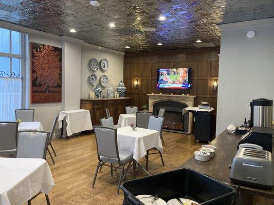
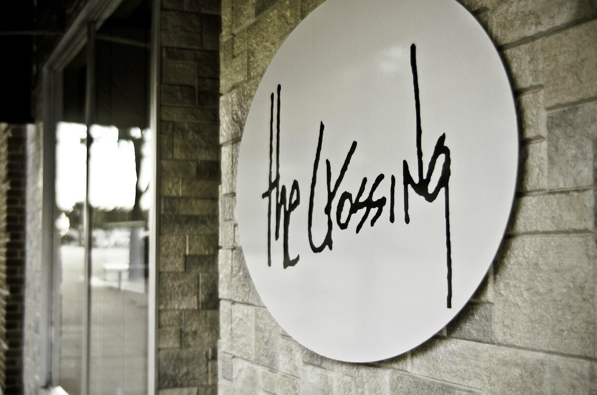
Dine and drink
Eat and drink your way through town.


Can't-miss activities
Culture, natural beauty, and plain old fun.


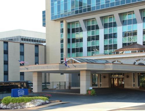
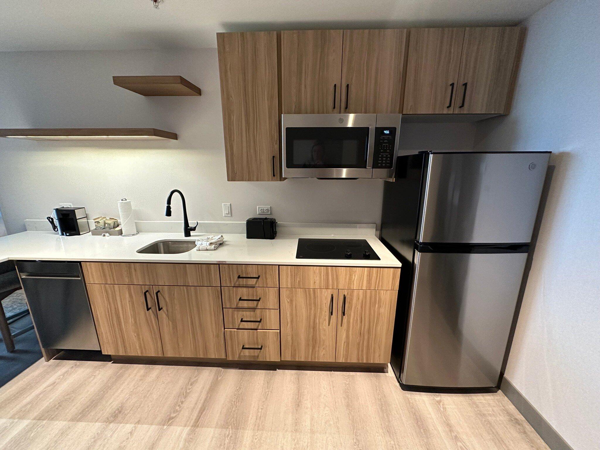
Places to stay
Hang your (vacation) hat in a place that’s just your style.