Claycomo, MO
Claycomo, MO Map
Claycomo is a US city in Clay County in the state of Missouri. Located at the longitude and latitude of -94.489400, 39.200600 and situated at an elevation of 246 meters. In the 2020 United States Census, Claycomo, MO had a population of 1,343 people. Claycomo is in the Central Standard Time timezone at Coordinated Universal Time (UTC) -6. Find directions to Claycomo, MO, browse local businesses, landmarks, get current traffic estimates, road conditions, and more.
Claycomo, located in Missouri, is a modest yet industrious village primarily recognized for housing a significant Ford Motor Company plant. This assembly facility is a cornerstone of the local economy, producing a substantial number of Ford vehicles annually and providing numerous jobs to the community. The presence of this plant underscores Claycomo's reputation as a pivotal player in the automotive industry within the region.
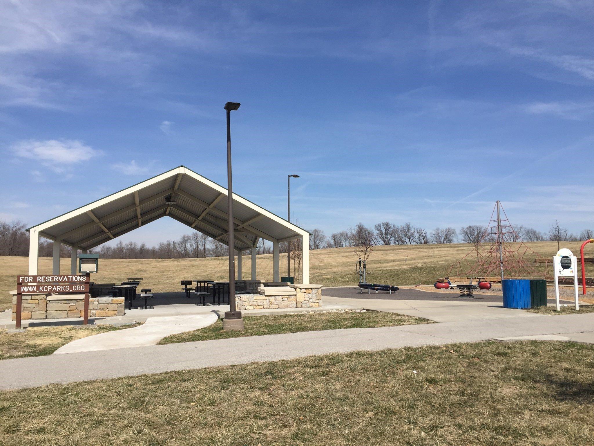
While Claycomo might not boast a plethora of traditional tourist attractions, it offers a glimpse into the heart of American manufacturing and industry. Visitors can enjoy a local dining experience at one of the village's eateries or explore nearby parks that provide a serene escape for residents and visitors alike. The village's history is intrinsically linked to its industrial roots, reflecting a community built around innovation and hard work. Claycomo stands as a testament to the enduring spirit of American manufacturing towns.
Nearby cities include: Pleasant Valley, MO, Glenaire, MO, Randolph, MO, Birmingham, MO, Gladstone, MO, Liberty, MO, Avondale, MO, Oakview, MO, Oakwood, MO, Oaks, MO.
Places in Claycomo
Dine and drink
Eat and drink your way through town.


Can't-miss activities
Culture, natural beauty, and plain old fun.


Places to stay
Hang your (vacation) hat in a place that’s just your style.