


Calhoun, LA
Calhoun, LA 71225
Calhoun Map
Calhoun is an unincorporated community in Ouachita Parish, Louisiana, United States. Its elevation is 177 feet (54 m), and it is located at 32°30?46?N 92°21?31?W / 32.51278°N 92.35861°W / 32.51278; -92.35861 (32.5126469, -92.3584744). At the time of the most recent United States Census Survey, the number of people in Calhoun, LA was 1,965.
Calhoun is located along Interstate 20 west of West Monroe. The community is named for 19th century statesman John C. Calhoun of South Carolina.
Nearby cities include West Monroe, Monroe, Chatham, Ruston, Farmerville.
Places in Calhoun
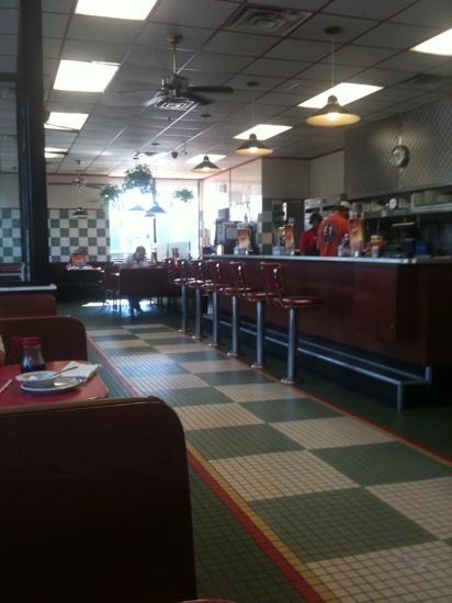
Dine and drink
Eat and drink your way through town.


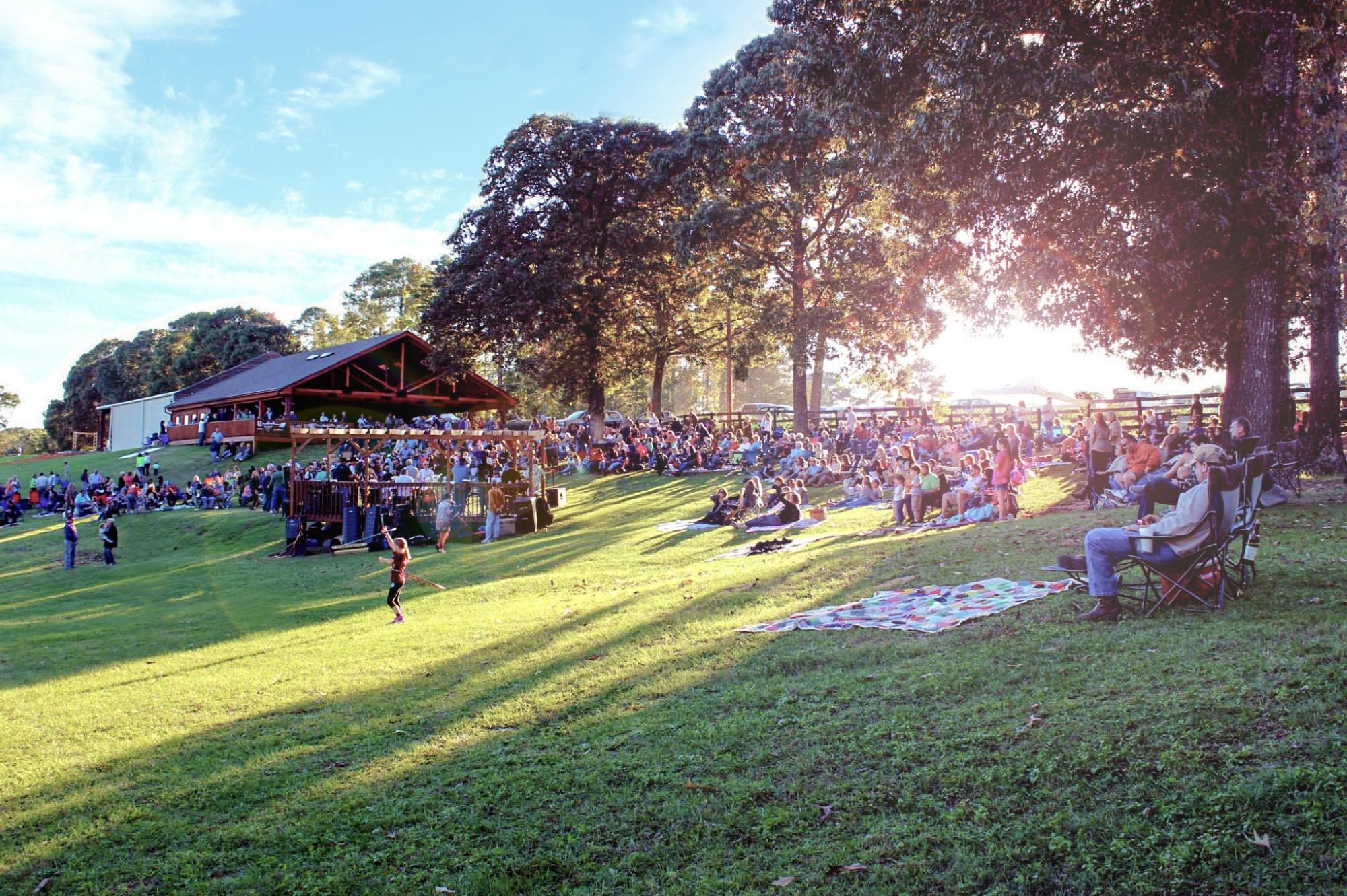
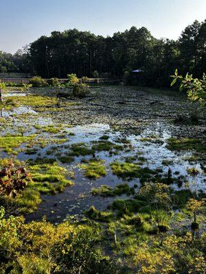
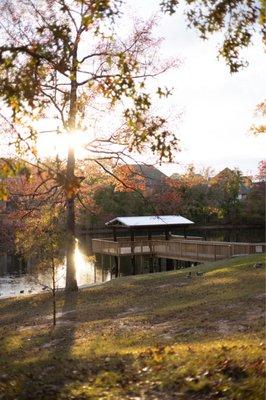
Can't-miss activities
Culture, natural beauty, and plain old fun.

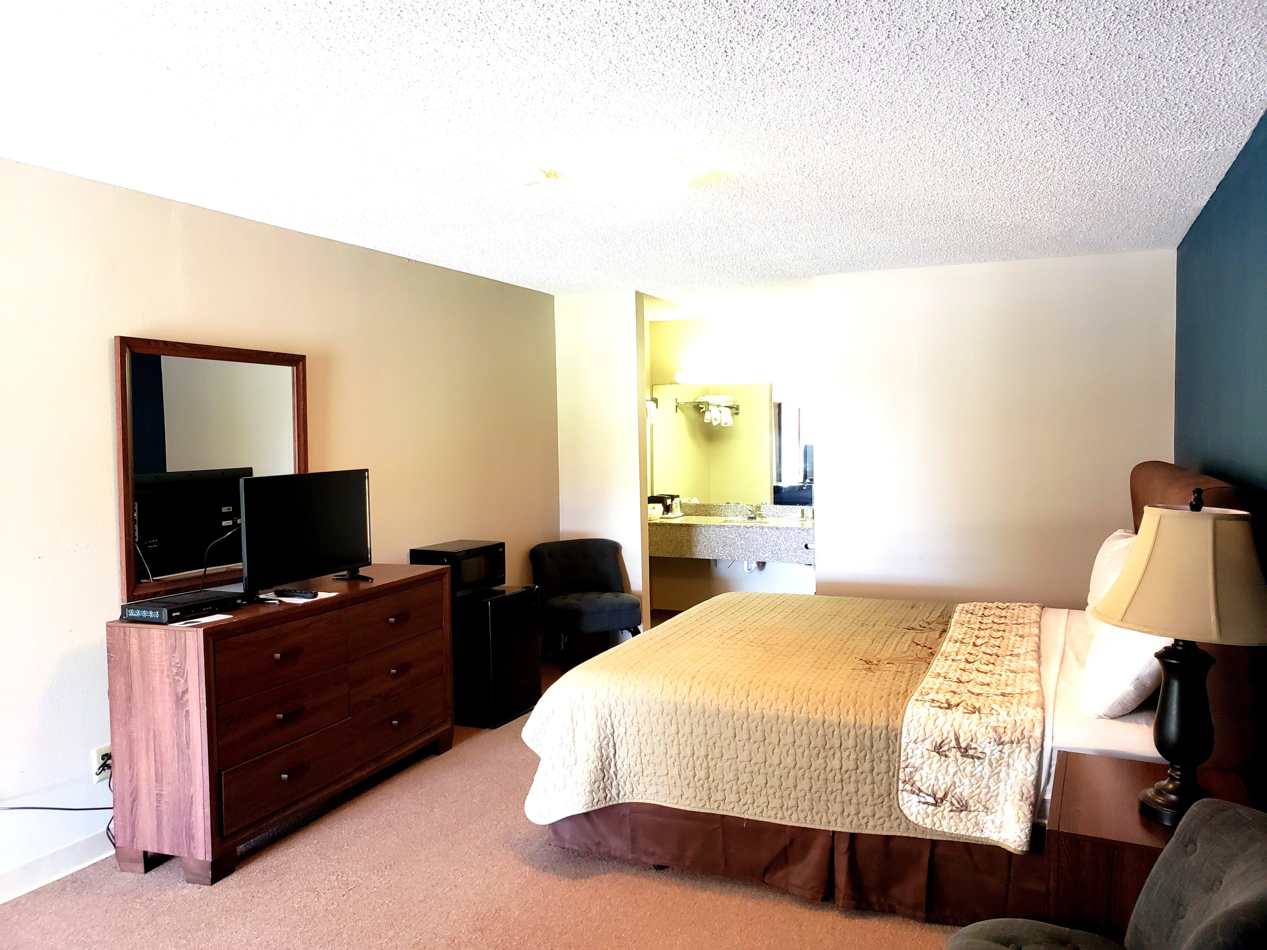
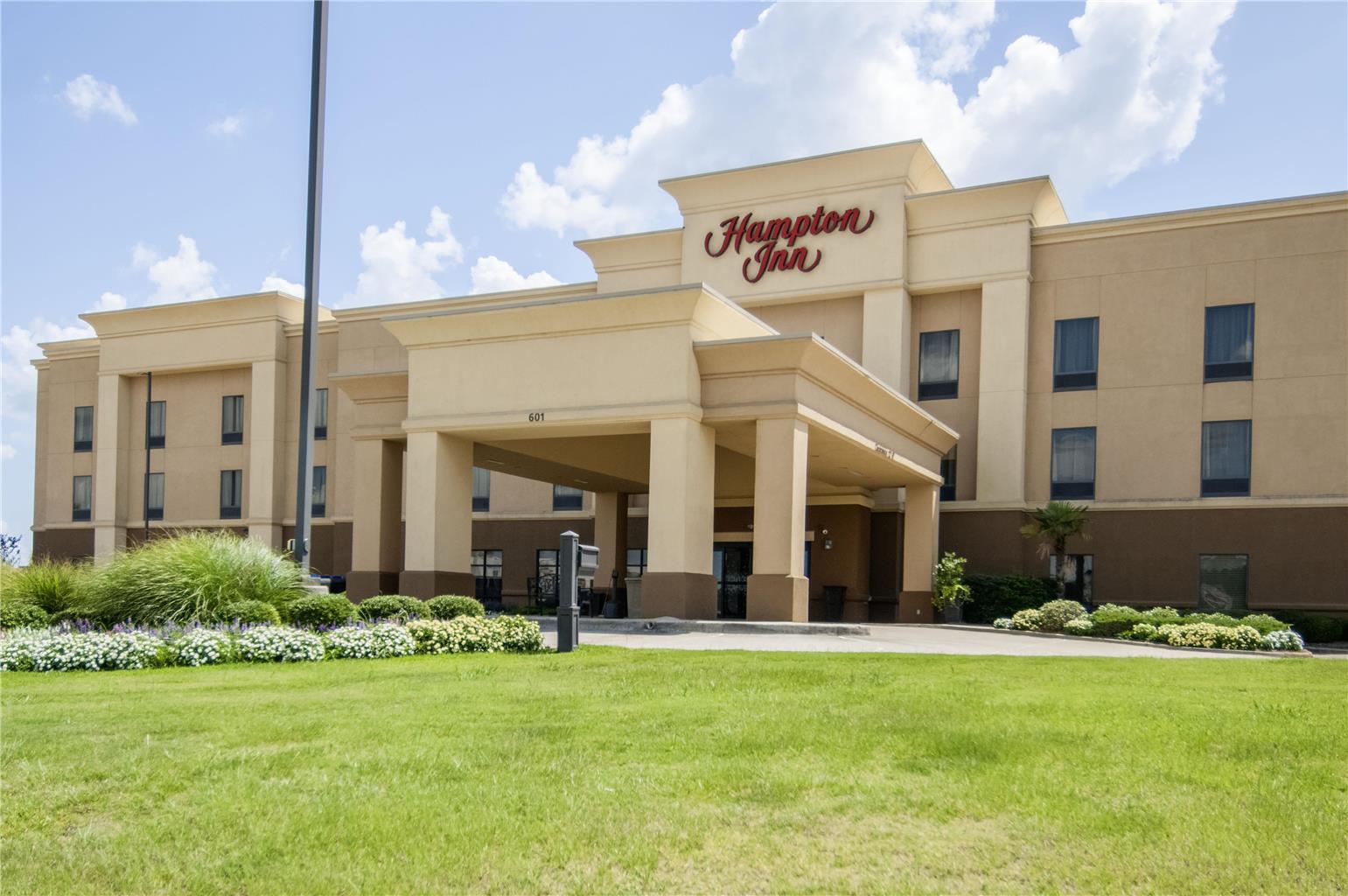
Places to stay
Hang your (vacation) hat in a place that’s just your style.

See a problem?