


West Bend, IA
West Bend, IA 50597
West Bend Map
West Bend is a city in Kossuth and Palo Alto Counties in the U.S. state of Iowa. The population was 834 at the 2000 census.
West Bend is located at 42°57?33?N 94°26?45?W / 42.95917°N 94.44583°W / 42.95917; -94.44583 (42.959074, -94.445782).
According to the United States Census Bureau, the city has a total area of 0.9 square miles (2.3 km²), all of it land.
Nearby cities include Bode, Cylinder, Plover, Rolfe, Mallard.
Places in West Bend
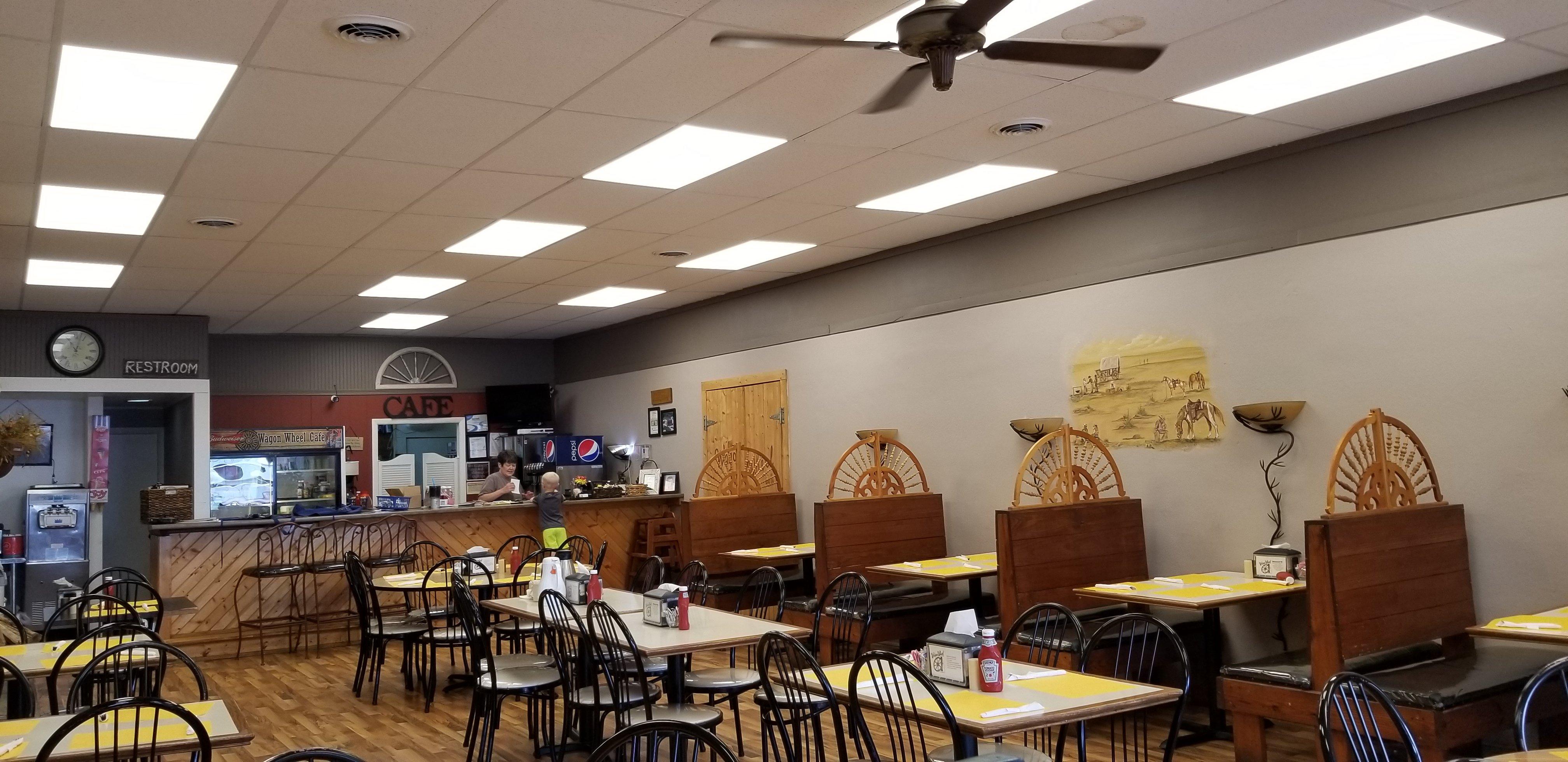
Dine and drink
Eat and drink your way through town.


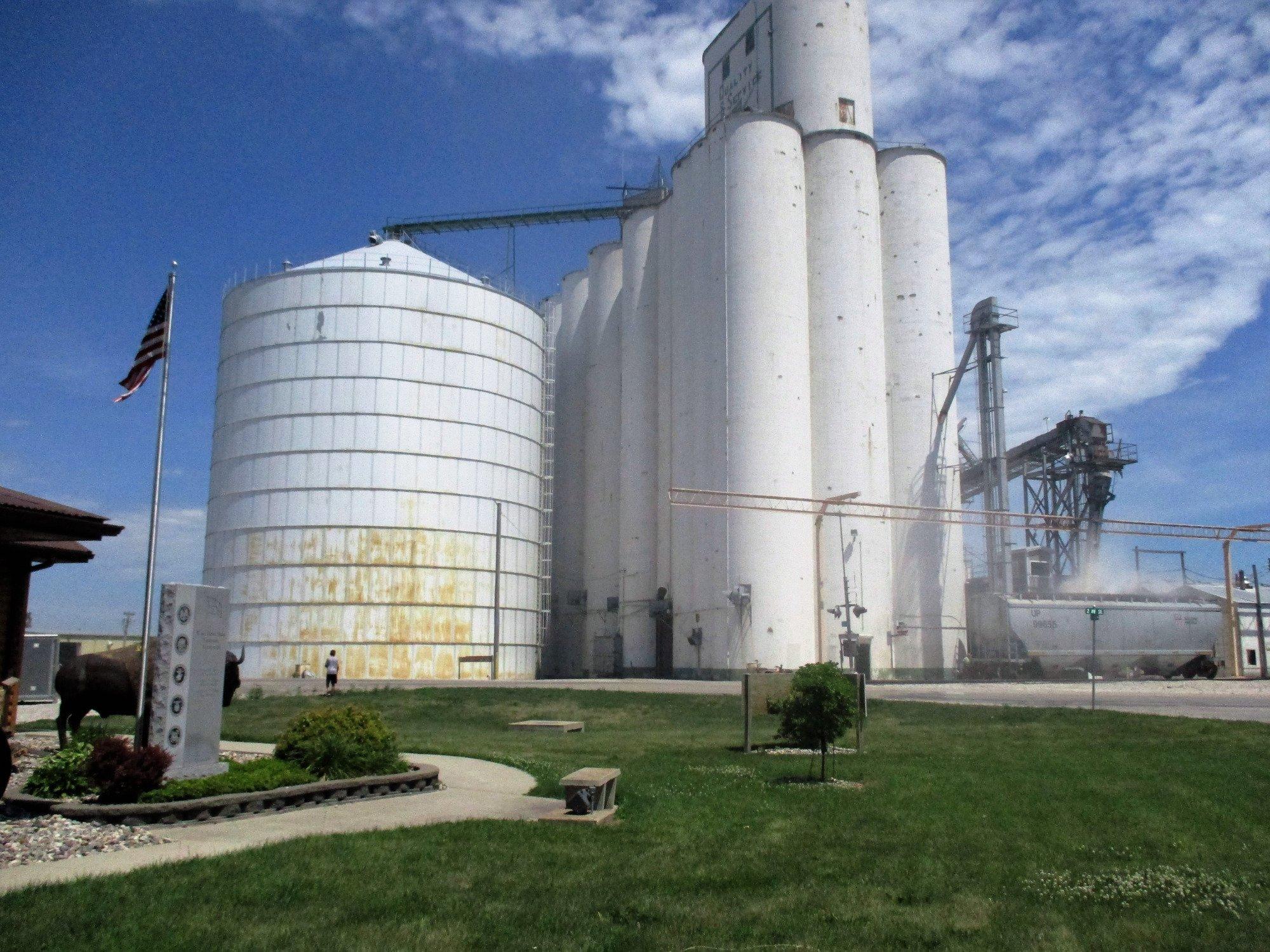
Can't-miss activities
Culture, natural beauty, and plain old fun.


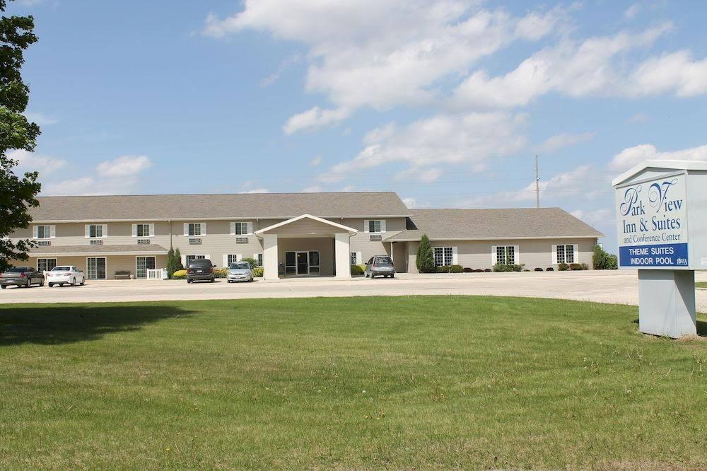
Places to stay
Hang your (vacation) hat in a place that’s just your style.


See a problem?