Calmar, IA
Calmar, IA Map
Calmar is a US city in Winneshiek County in the state of Iowa. Located at the longitude and latitude of -91.866389, 43.181944 and situated at an elevation of 384 meters. In the 2020 United States Census, Calmar, IA had a population of 1,125 people. Calmar is in the Central Standard Time timezone at Coordinated Universal Time (UTC) -6. Find directions to Calmar, IA, browse local businesses, landmarks, get current traffic estimates, road conditions, and more.
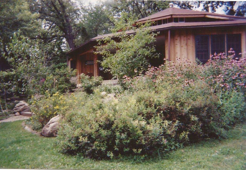
Calmar, located in Iowa, is a quaint city known for its rich local history and community-focused atmosphere. It is perhaps best recognized for its connection to the development of the railroad in the late 19th century, which played a significant role in shaping the town's economy and growth. Visitors to Calmar can explore the Heritage Park of Northeast Iowa, a popular attraction that showcases the region's agricultural and cultural history through various exhibits and preserved buildings. The park offers a glimpse into the past with its well-maintained historical structures and artifacts.
Another notable spot in Calmar is the South Winneshiek Golf & Country Club, which provides a serene setting for golf enthusiasts looking to enjoy the sport in a relaxed rural environment. The city also serves as a gateway to the scenic beauty of the surrounding Iowa landscapes, making it a charming stop for those interested in both history and outdoor activities. Calmar's small-town charm and historical significance make it an interesting destination for travelers seeking to experience the essence of Iowa's heartland.
Nearby cities include: Fort Atkinson, IA, Spillville, IA, Ossian, IA, Decorah, IA, Auburn, IA, Ridgeway, IA, Jackson Junction, IA, Castalia, IA, Protivin, IA, Waucoma, IA.
Places in Calmar
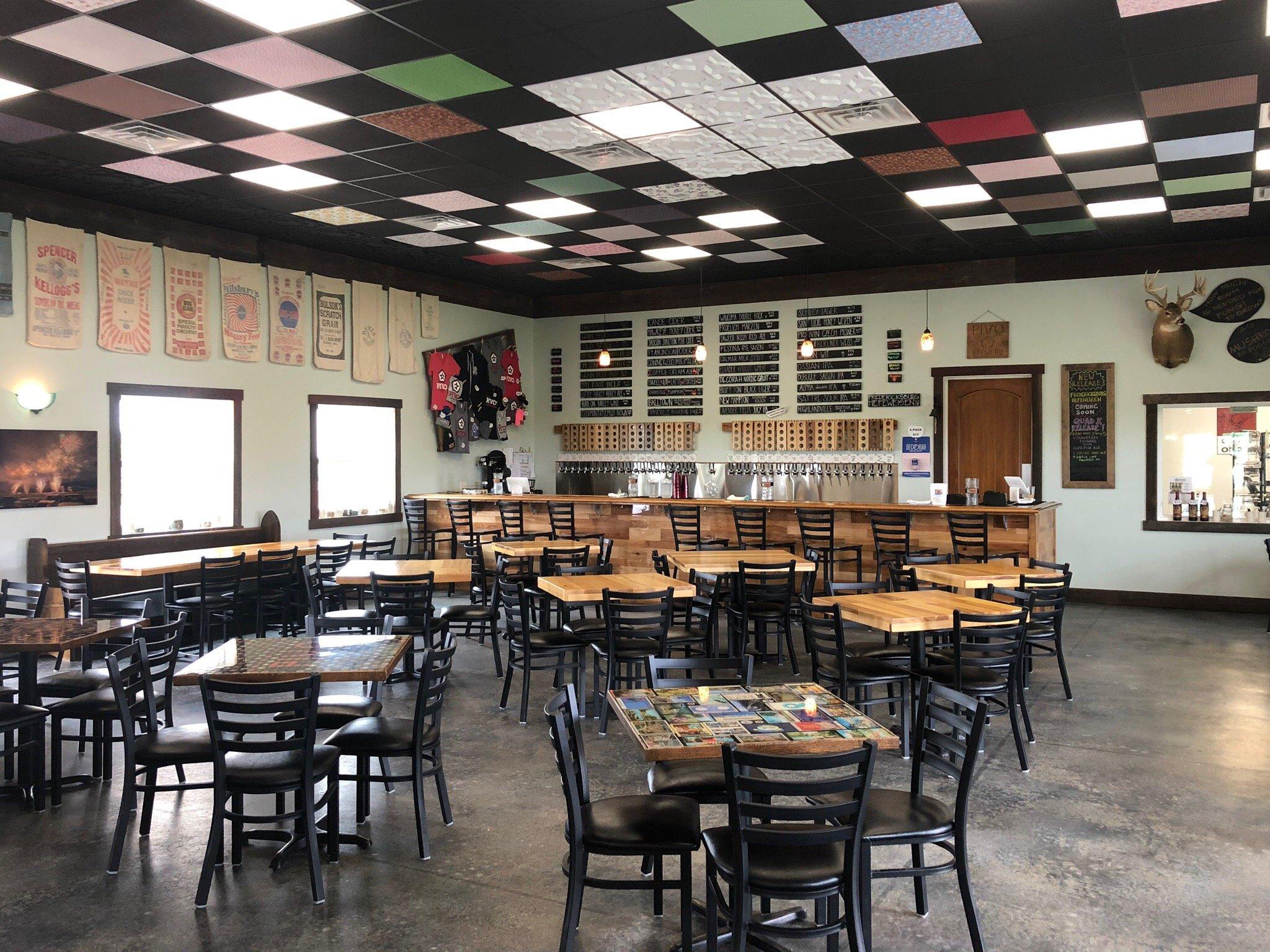
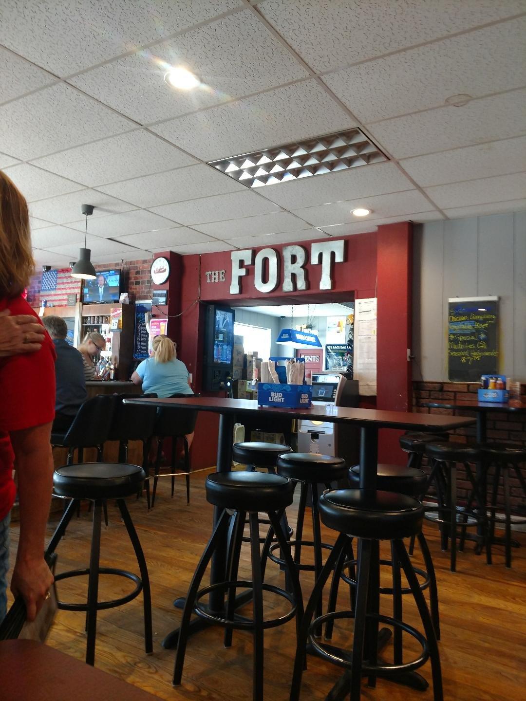
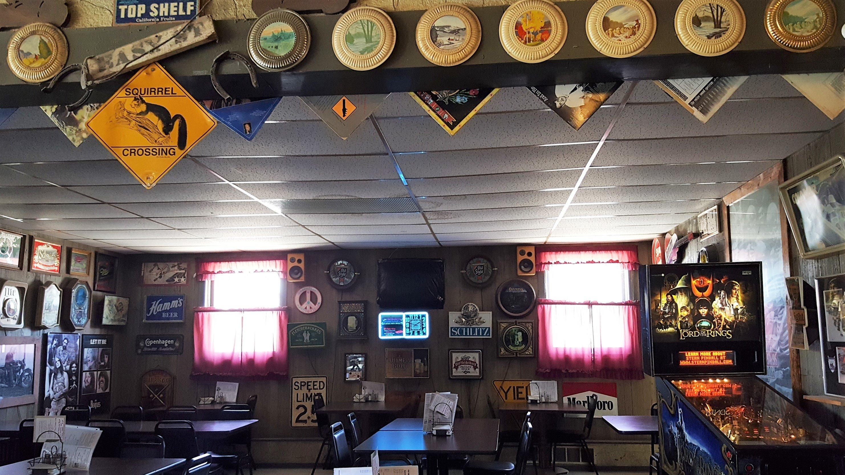
Dine and drink
Eat and drink your way through town.

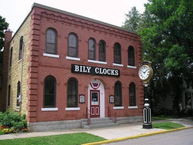
Can't-miss activities
Culture, natural beauty, and plain old fun.

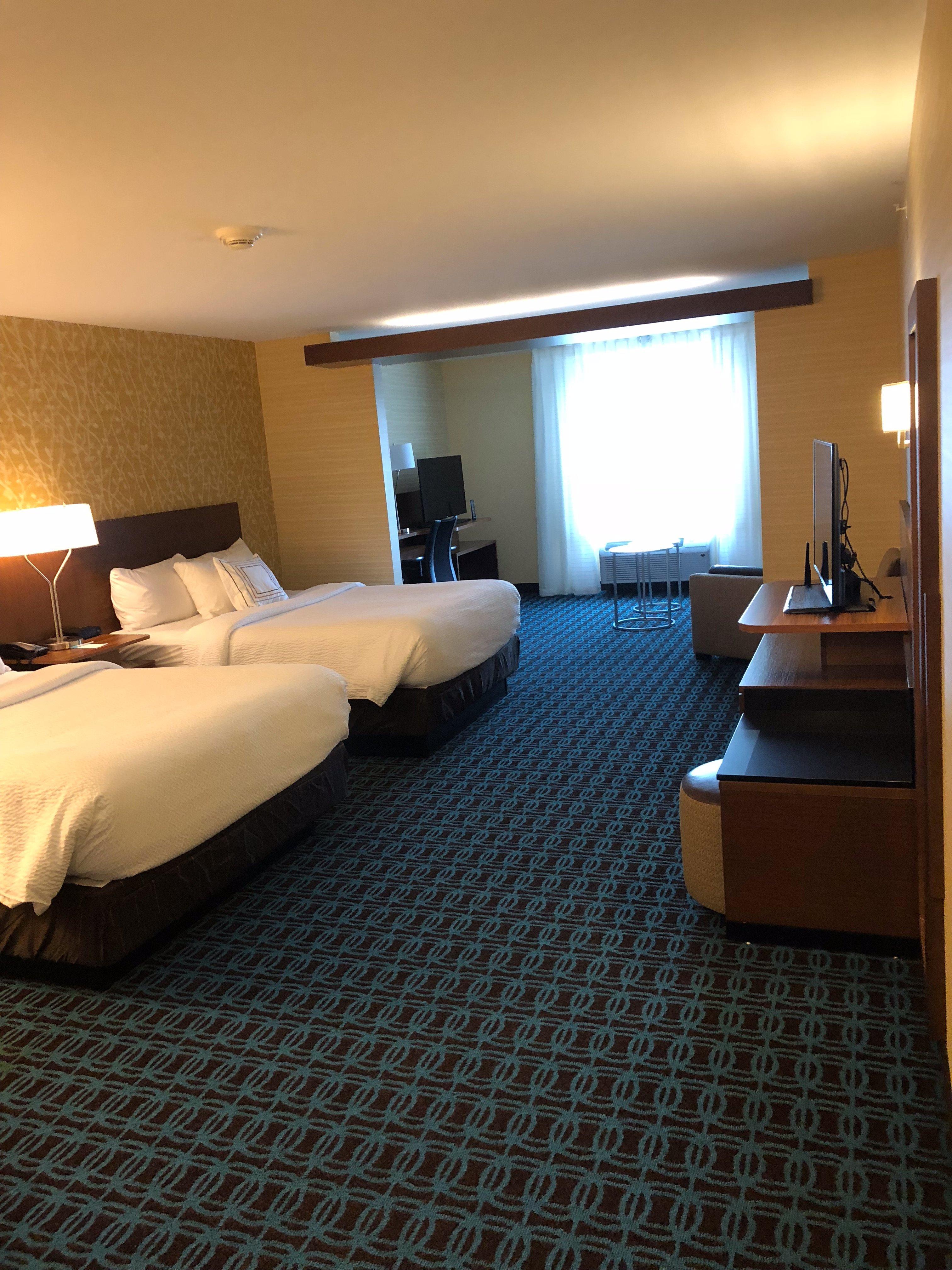
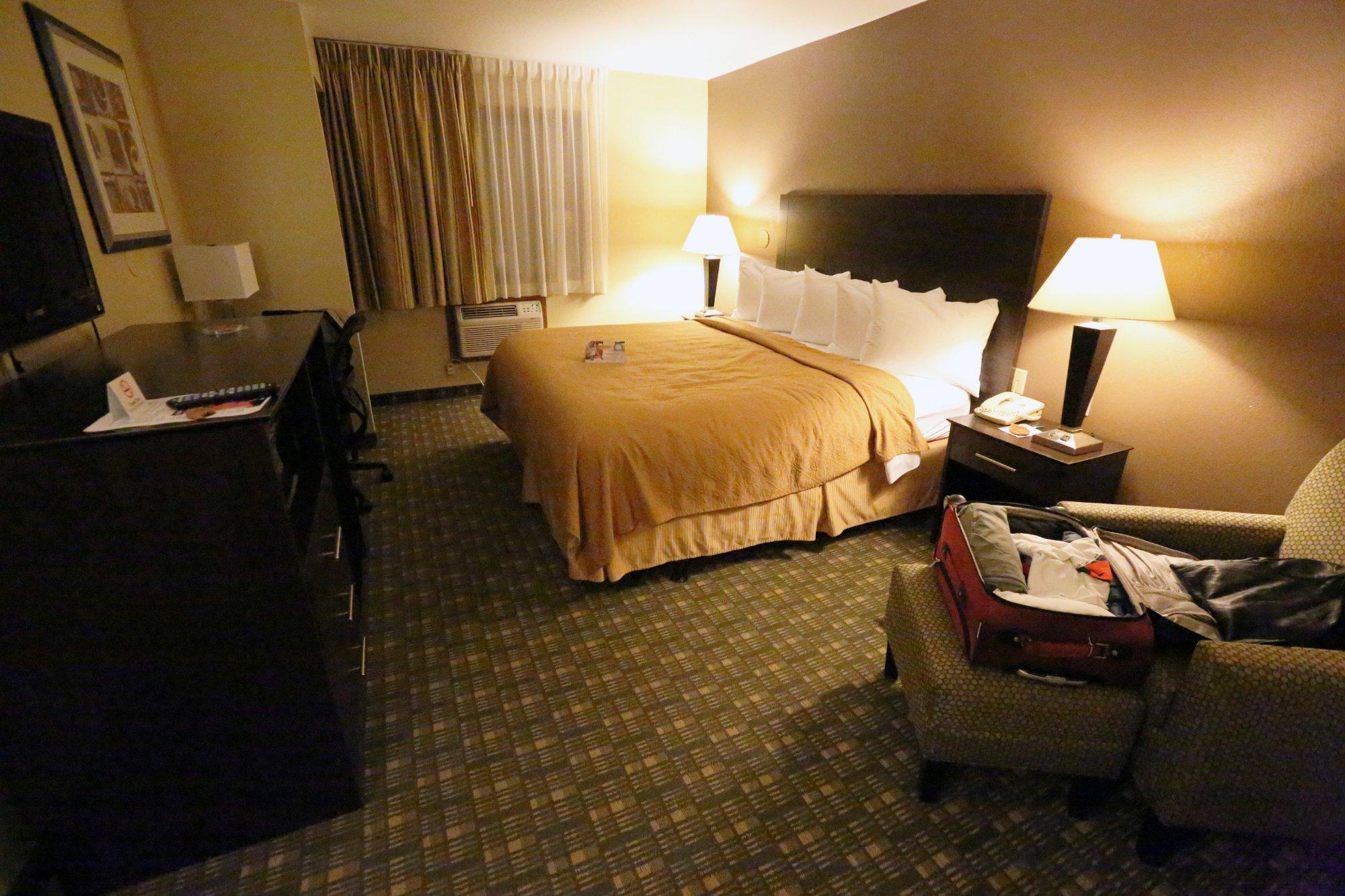
Places to stay
Hang your (vacation) hat in a place that’s just your style.