


Castalia, IA
Castalia, IA 52133
Castalia Map
The City of Castalia is located in Winneshiek County in the State of Iowa. Find directions to Castalia, browse local businesses, landmarks, get current traffic estimates, road conditions, and more. According to the 2019 US Census the Castalia population is estimated at 156 people. The Castalia time zone is Central Daylight Time which is 6 hours behind Coordinated Universal Time (UTC).
Nearby cities include Bloomfield, Hardin, Calmar, Ossian, Military.
Places in Castalia
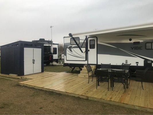
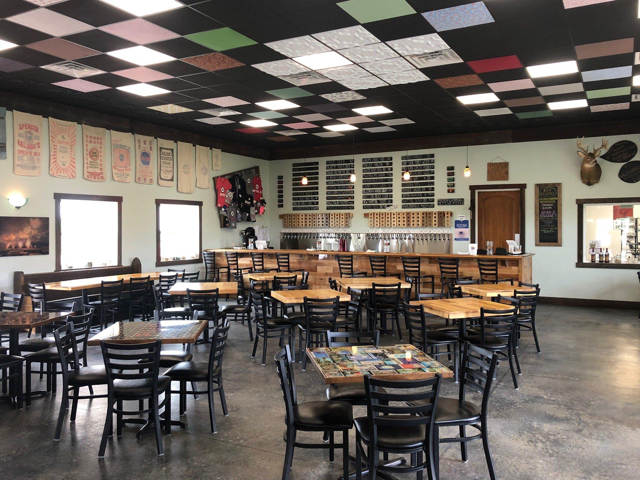
Dine and drink
Eat and drink your way through town.


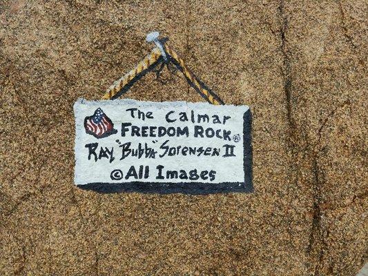
Can't-miss activities
Culture, natural beauty, and plain old fun.


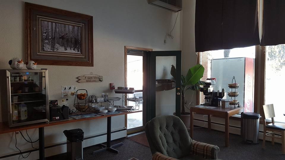
Places to stay
Hang your (vacation) hat in a place that’s just your style.
See a problem?