Michigan City, IN
Michigan City Map
Michigan City is a city in LaPorte County, Indiana, USA. It is one of two principal cities included in the Michigan City-La Porte, Indiana Metropolitan Statistical Area, which is included in the Chicago-Naperville-Michigan City Combined Statistical Area. It is also part of a region known to locals as Michiana. It is approximately 50 miles east of Chicago and 40 miles west of South Bend. It had a population of 31,479 at the 2010 census.
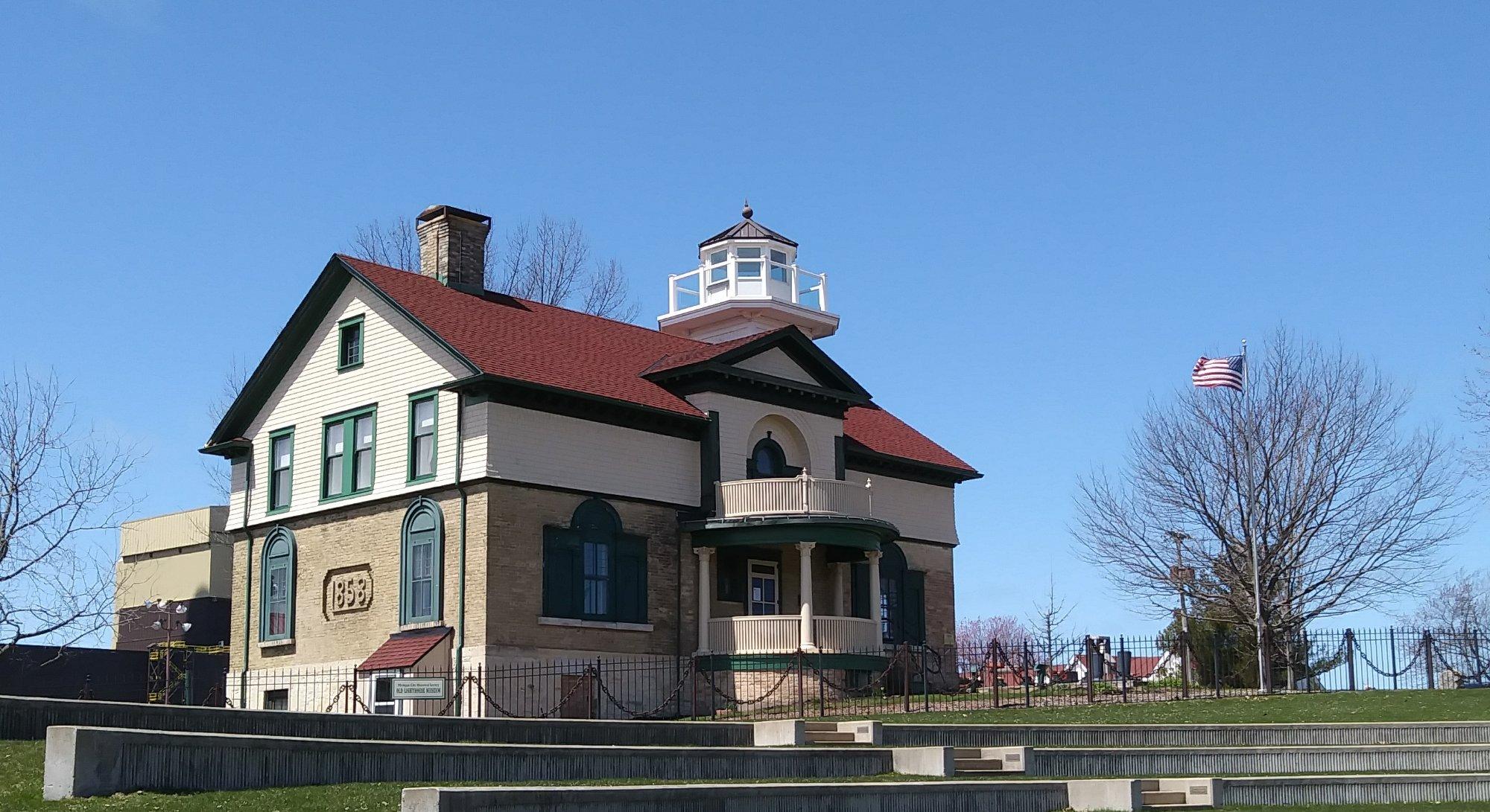
Michigan City is noted for both its proximity to the Indiana Dunes National Lakeshore and for bordering Lake Michigan. Due to this, Michigan City receives a fair amount of tourism during the summer months, especially by residents of Chicago and of nearby cities in Northern Indiana. The lighthouse is a notable symbol for the city.
Michigan City is located at 41°42?34?N 86°53?13?W / 41.70944°N 86.88694°W / 41.70944; -86.88694 (41.709389, -86.886928).
Nearby cities include Chesterton, La Porte, Westville, Burns Harbor, Rolling Prairie.
Places in Michigan City
Dine and drink
Eat and drink your way through town.


Can't-miss activities
Culture, natural beauty, and plain old fun.


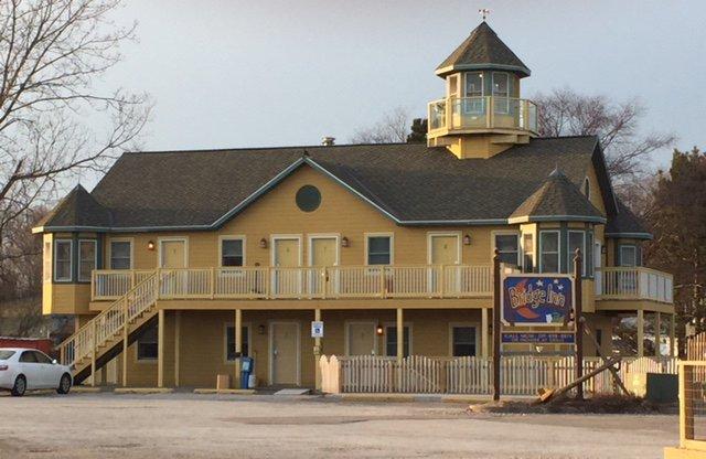
Places to stay
Hang your (vacation) hat in a place that’s just your style.