Lebanon, IN
Lebanon Map
Lebanon (commonly pronounced "Leba-nen") is a city in and the county seat of Boone County, Indiana, United States. The population was 15,792 at the 2010 census. The city was named Lebanon because a stand of hickory trees on the site reminded one of the town's commissioners of the Biblical cedars of Lebanon. Lebanon is located in central Indiana, northwest of Indianapolis.
Lebanon is located at 40°3?8?N 86°28?18?W / 40.05222°N 86.47167°W / 40.05222; -86.47167 (40.052137, -86.471570).
According to the United States Census Bureau, the city has a total area of 7.3 square miles (18.9 km²), all of it land.
Nearby cities include Kirklin, Lizton, Jamestown, Pittsboro, Zionsville.
Places in Lebanon
Dine and drink
Eat and drink your way through town.


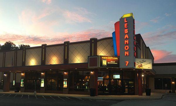
Can't-miss activities
Culture, natural beauty, and plain old fun.


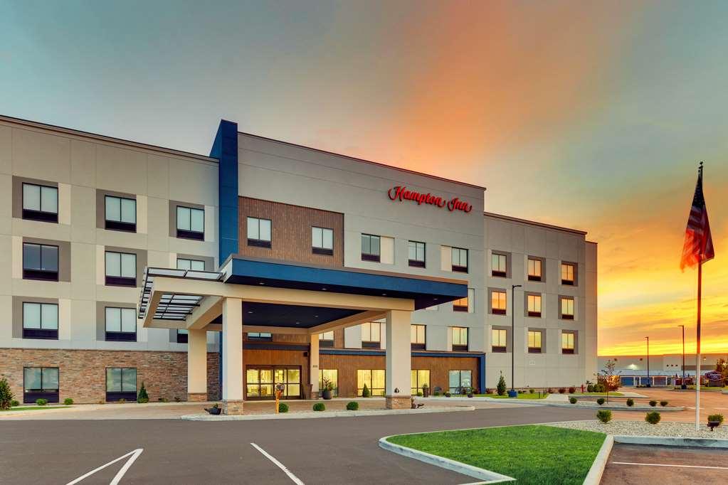
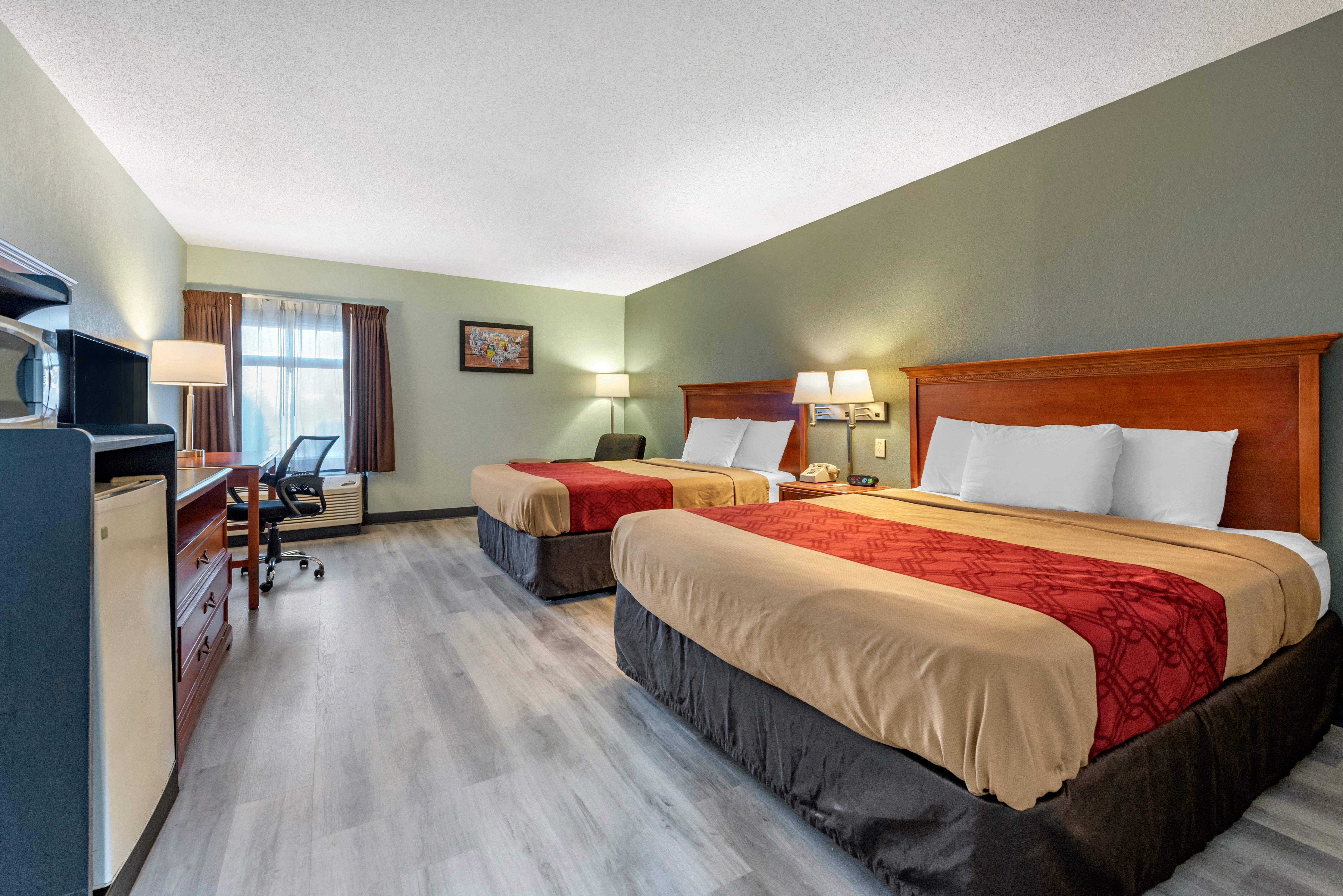
Places to stay
Hang your (vacation) hat in a place that’s just your style.