Democrat, IN
Democrat Township, IN Map
Democrat Township is a US city in Carroll County in the state of Indiana. Located at the longitude and latitude of -86.525556, 40.467500 and situated at an elevation of 226 meters. In the 2020 United States Census, Democrat Township, IN had a population of 1,025 people. Democrat Township is in the Eastern Standard Time timezone at Coordinated Universal Time (UTC) -5. Find directions to Democrat Township, IN, browse local businesses, landmarks, get current traffic estimates, road conditions, and more.
Democrat Township, located in the state of Indiana, is a quintessential representation of small-town charm and Midwestern hospitality. Known for its serene landscapes and agricultural roots, Democrat Township offers a peaceful retreat from the hustle and bustle of urban life. The township's history is deeply intertwined with the development of Indiana's agricultural sector, and it has maintained its rural character over the years. Visitors can enjoy picturesque drives through the countryside, dotted with traditional farmhouses and sprawling fields.
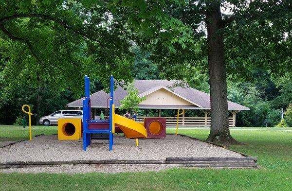
While Democrat Township may not have a bustling city center, it is home to several local attractions that capture the essence of the region. Nature enthusiasts will find solace in the township's parks and natural areas, perfect for hiking and bird-watching. Community events often take place in local gathering spots, offering a glimpse into the township's close-knit community spirit. Although not widely known for commercial tourism, Democrat Township provides an authentic experience for those seeking to explore Indiana's rural heartland.
Nearby cities include: Bringhurst, IN, Rossville, IN, Owen, IN, Flora, IN, Burlington, IN, Ross, IN, Burlington, IN, Warren, IN, Camden, IN, Deer Creek, IN.
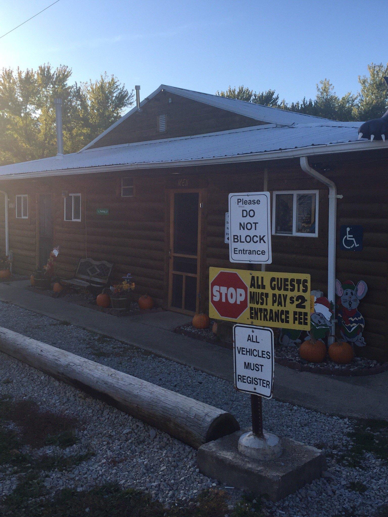
Places in Democrat
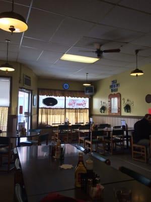
Dine and drink
Eat and drink your way through town.


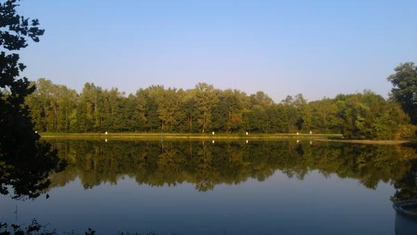
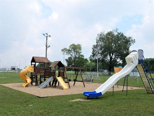
Can't-miss activities
Culture, natural beauty, and plain old fun.


Places to stay
Hang your (vacation) hat in a place that’s just your style.