Danvers, IL
Danvers, IL Map
Danvers is a US city in McLean County in the state of Illinois. Located at the longitude and latitude of -89.176900, 40.528900 and situated at an elevation of 809 meters. In the 2020 United States Census, Danvers, IL had a population of 1,089 people. Danvers is in the Central Standard Time timezone at Coordinated Universal Time (UTC) -6. Find directions to Danvers, IL, browse local businesses, landmarks, get current traffic estimates, road conditions, and more.
Danvers, located in the state of Illinois, is a small town that embodies the charm and tranquility typical of many Midwestern communities. Known primarily for its rich agricultural surroundings, Danvers offers a serene escape with its sprawling farmlands and picturesque landscapes. While it may not boast the bustling attractions of larger cities, Danvers provides a peaceful retreat for those seeking a break from the urban hustle. Visitors often appreciate the local parks and the community's commitment to preserving its natural beauty, making it a pleasant spot for leisurely walks and picnics.
Historically, Danvers has roots that trace back to the mid-19th century, reflected in its quaint architecture and the stories of early settlers who contributed to its development. The town is also known for hosting community events that foster a strong sense of camaraderie among residents. While there are no major tourist attractions, the local culture and history provide an insightful glimpse into the life of a traditional American small town. For those interested in exploring the heartland of America, Danvers offers a genuine and relaxed experience.
Nearby cities include: Danvers, IL, Carlock, IL, Dry Grove, IL, Congerville, IL, White Oak, IL, Stanford, IL, Montgomery, IL, Heritage Lake, IL, Kansas, IL, Goodfield, IL.
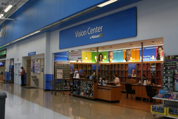
Places in Danvers
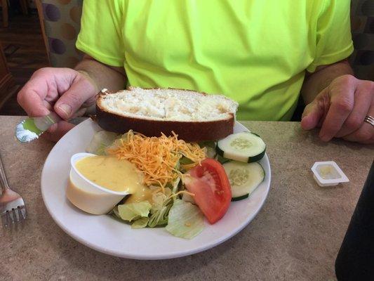
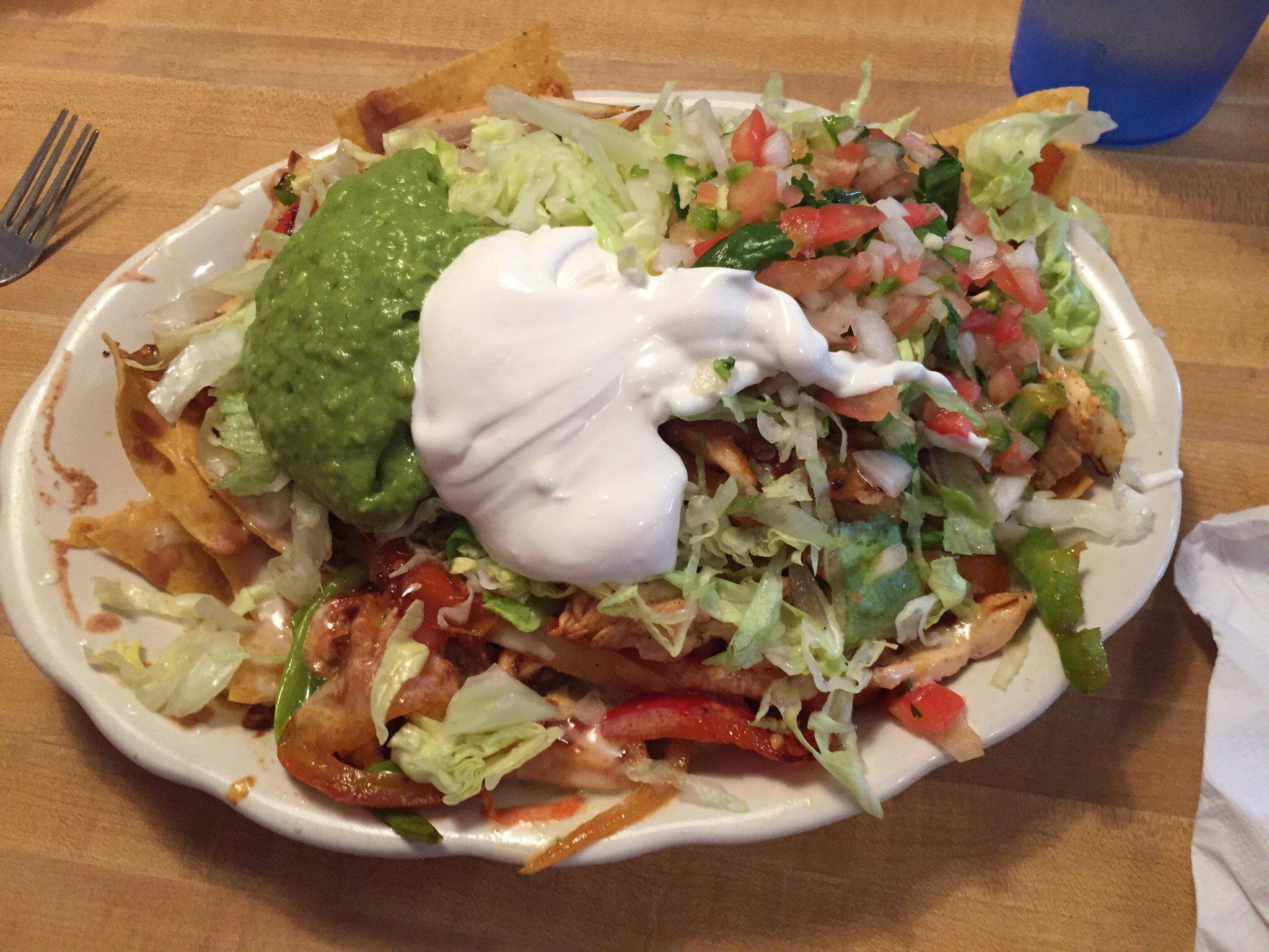
Dine and drink
Eat and drink your way through town.
Can't-miss activities
Culture, natural beauty, and plain old fun.


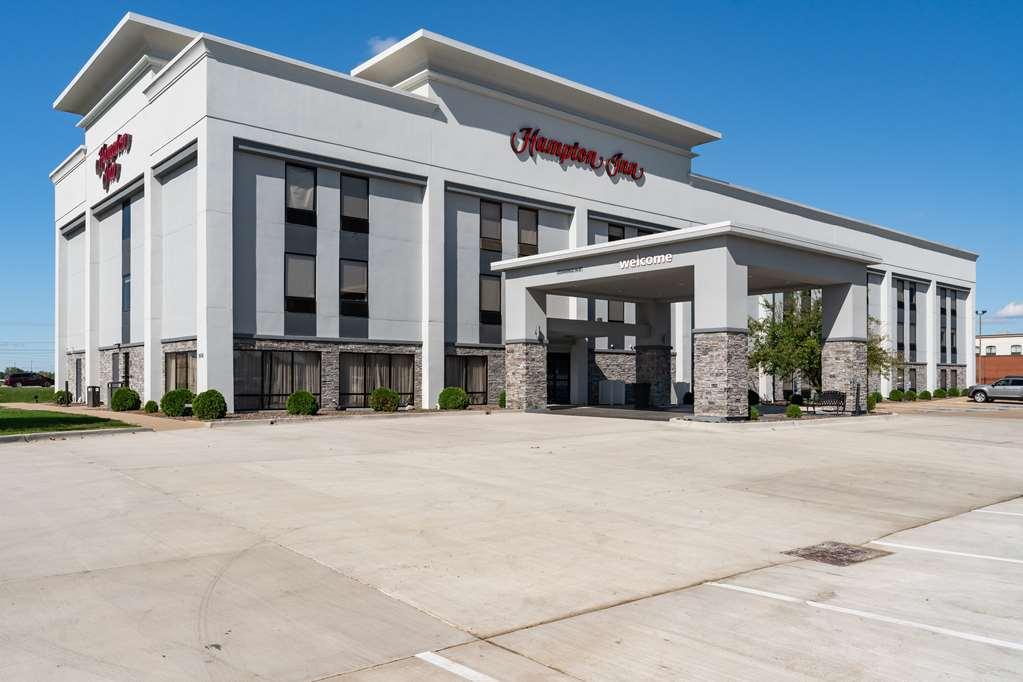
Places to stay
Hang your (vacation) hat in a place that’s just your style.