


Montrose, CO
Montrose, CO 81401
Montrose Map
The City of Montrose is a Home Rule Municipality that is the county seat and the most populous city of Montrose County, Colorado, United States. The United States Census Bureau estimates that the city population was 15,479 in 2005. The main road that leads in and out of Montrose is U.S. Route 50.
Montrose is located at 38°28?37?N 107°51?56?W / 38.47694°N 107.86556°W / 38.47694; -107.86556 (38.476952, -107.865544).
According to the United States Census Bureau, the city has a total area of 11.5 square miles (29.7 km²), all of it land.
Nearby cities include Olathe.
Places in Montrose
Dine and drink
Eat and drink your way through town.


Can't-miss activities
Culture, natural beauty, and plain old fun.


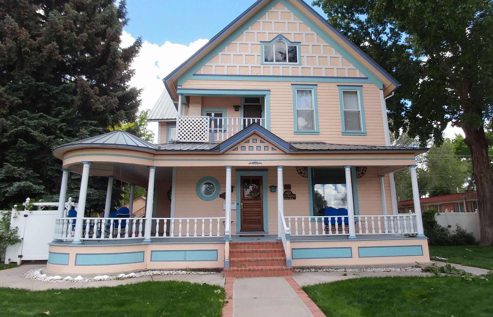
Places to stay
Hang your (vacation) hat in a place that’s just your style.


See a problem?