Olivehurst, CA
Olivehurst, CA Map
Olivehurst is a US city in Yuba County in the state of California. Located at the longitude and latitude of -121.547778, 39.086389 and situated at an elevation of 66 meters. In the 2020 United States Census, Olivehurst, CA had a population of 16,595 people. Olivehurst is in the Pacific Standard Time timezone at Coordinated Universal Time (UTC) -8. Find directions to Olivehurst, CA, browse local businesses, landmarks, get current traffic estimates, road conditions, and more.
Olivehurst, located in the state of California, is a small community with a rich history rooted in agriculture and development during the mid-20th century. The city is known for its close-knit community atmosphere and its proximity to the Feather River, which offers opportunities for outdoor activities such as fishing and hiking. Olivehurst's historical background is reflected in its development post-World War II, when it expanded as a residential area for workers in nearby industries.
While Olivehurst may not boast a large number of tourist attractions, it offers a few local gems that highlight the area's natural beauty and community spirit. The Feather River Wildlife Area is a notable spot for nature enthusiasts, providing a habitat for a variety of wildlife and a peaceful setting for bird watching and leisurely walks. For those interested in community events, Olivehurst hosts local gatherings that celebrate the area's agricultural heritage and foster a sense of community among residents. Overall, Olivehurst offers a glimpse into a quieter, more rural side of California life.
Nearby cities include: Plumas Lake, CA, Marysville, CA, South Yuba City, CA, Yuba City, CA, Wheatland, CA, Rio Oso, CA, Sheridan, CA, Sutter, CA, Nicolaus, CA, Live Oak, CA.
Places in Olivehurst
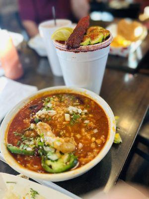
Dine and drink
Eat and drink your way through town.


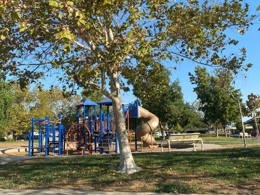
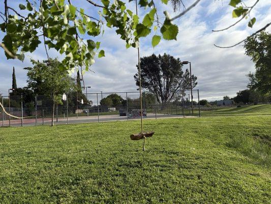
Can't-miss activities
Culture, natural beauty, and plain old fun.

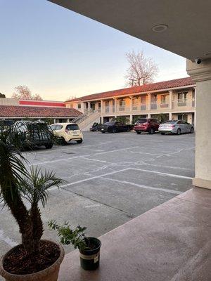
Places to stay
Hang your (vacation) hat in a place that’s just your style.