Wheatland, CA
Wheatland Map
Wheatland is a city in Yuba County, California, United States. The population was 3,456 at the 2010 census, up from 2,275 at the 2000 census. Wheatland is located 12.5 miles (20 km) southeast of Marysville. It is most commonly known to Northern Californians as the home of Sleep Train Amphitheatre, an open-air 18,500 seat venue for music and other performing artists.
Wheatland is located at 39°00?36?N 121°25?23?W / 39.01°N 121.42306°W / 39.01; -121.42306.
According to the United States Census Bureau, the city has a total area of 1.5 square miles (4.8 km²), 99.55% of it land and 0.45% of it water.
Nearby cities include Lincoln, Nicolaus, Marysville, Yuba City, Smartsville.
Places in Wheatland
Dine and drink
Eat and drink your way through town.


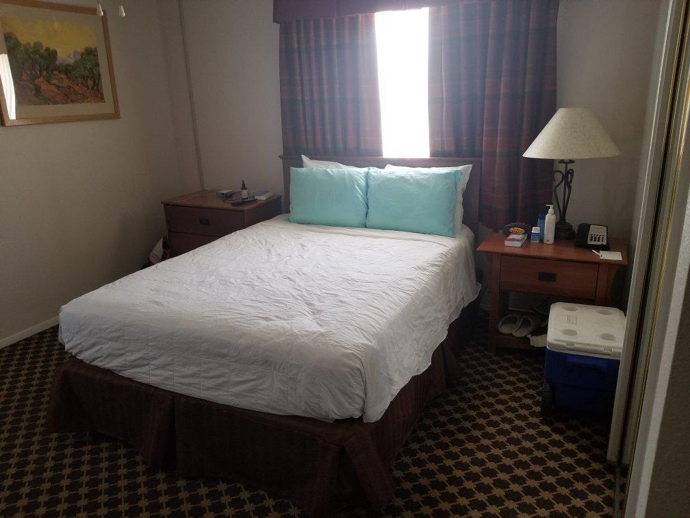
Places to stay
Hang your (vacation) hat in a place that’s just your style.