Inyokern, CA
Inyokern, CA Map
Inyokern is a US city in Kern County in the state of California. Located at the longitude and latitude of -117.813889, 35.647500 and situated at an elevation of 2,434 meters. In the 2020 United States Census, Inyokern, CA had a population of 988 people. Inyokern is in the Pacific Standard Time timezone at Coordinated Universal Time (UTC) -8. Find directions to Inyokern, CA, browse local businesses, landmarks, get current traffic estimates, road conditions, and more.
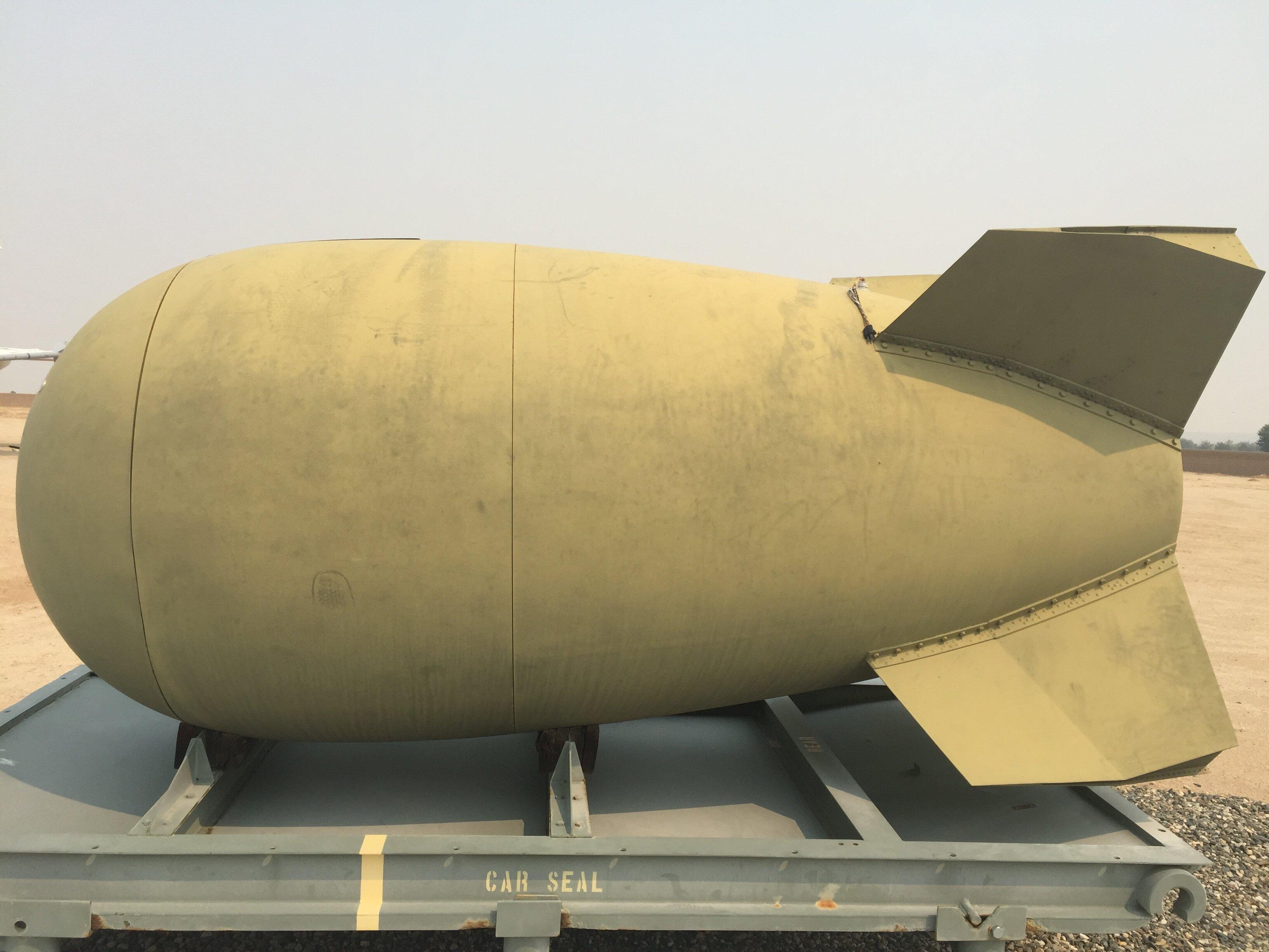
Inyokern, California, is a small desert community known primarily for its proximity to the Naval Air Weapons Station China Lake, which plays a significant role in the area's history and development. Originally established as a water stop along the Southern Pacific Railroad, Inyokern has evolved into a hub for those interested in the aerospace and defense industries. The town's dry climate and clear skies also make it an ideal location for solar energy projects, adding a modern twist to its historical roots.
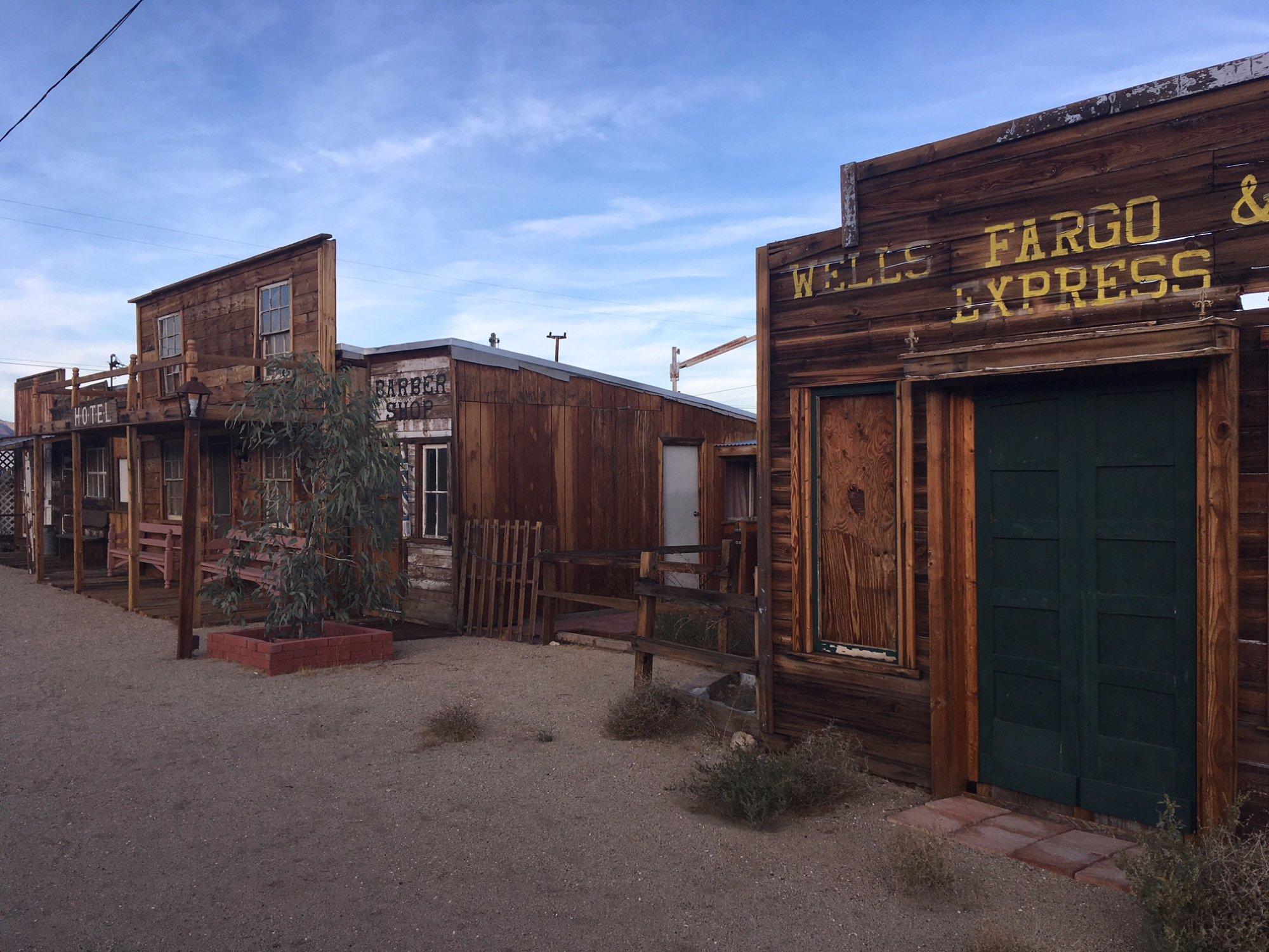
A notable attraction in Inyokern is the Inyokern Airport, which, while small, is famously known for its role in various film productions and as a base for general aviation. The surrounding desert landscape offers opportunities for outdoor activities such as hiking and off-road adventures. Visitors can also explore the nearby Sierra Nevada mountains, providing a stark contrast to the arid environment of Inyokern itself. While the town may not boast a wide array of tourist attractions, its unique blend of history, industry, and natural beauty offers a distinct experience for those passing through.
Nearby cities include: China Lake Acres, CA, Ridgecrest, CA, Randsburg, CA, Johannesburg, CA, Onyx, CA, Weldon, CA, Kernville, CA, Wofford Heights, CA, Lake Isabella, CA, California City, CA.
Places in Inyokern
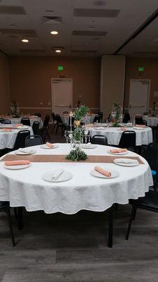
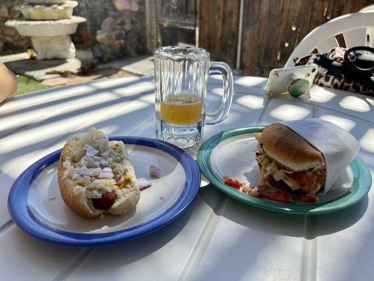
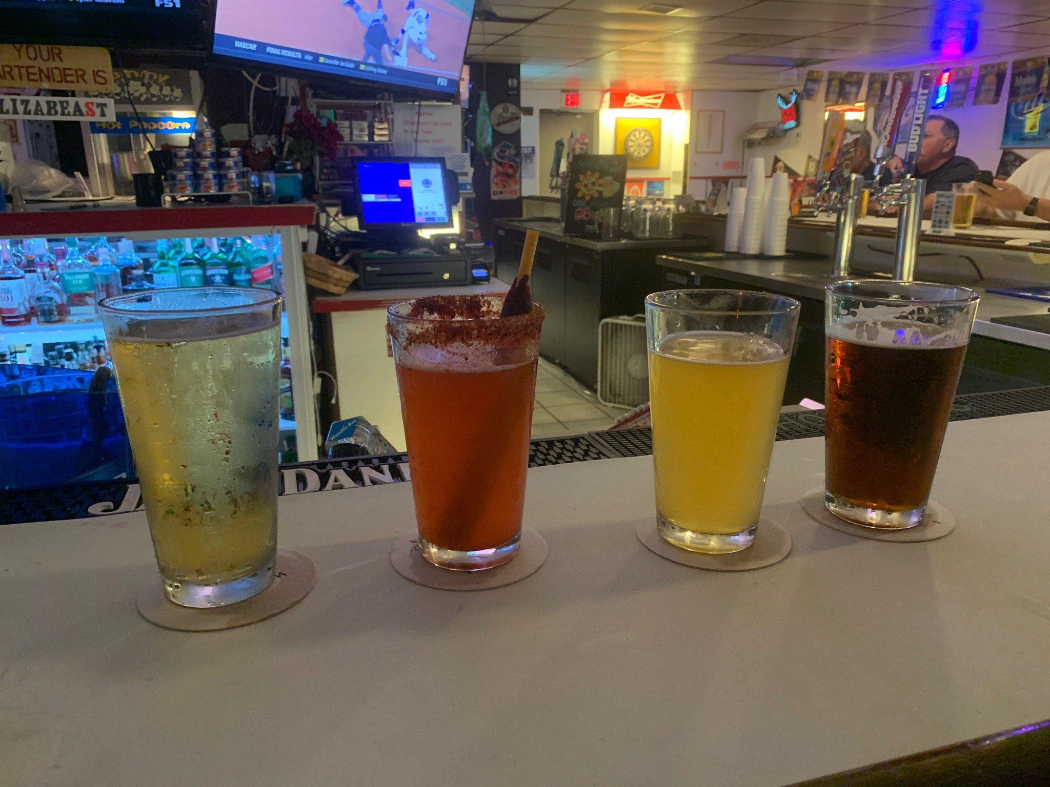
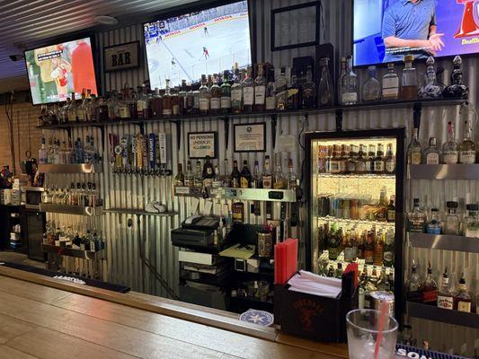
Dine and drink
Eat and drink your way through town.

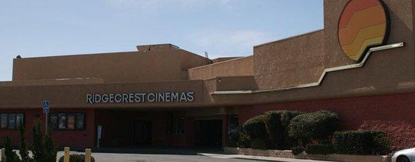
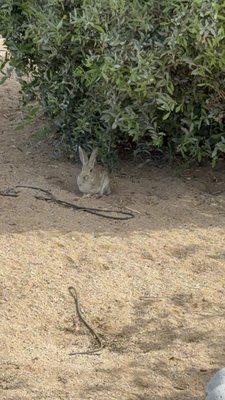
Can't-miss activities
Culture, natural beauty, and plain old fun.
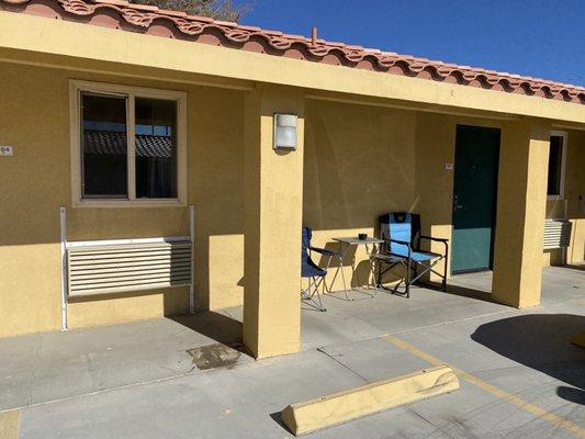
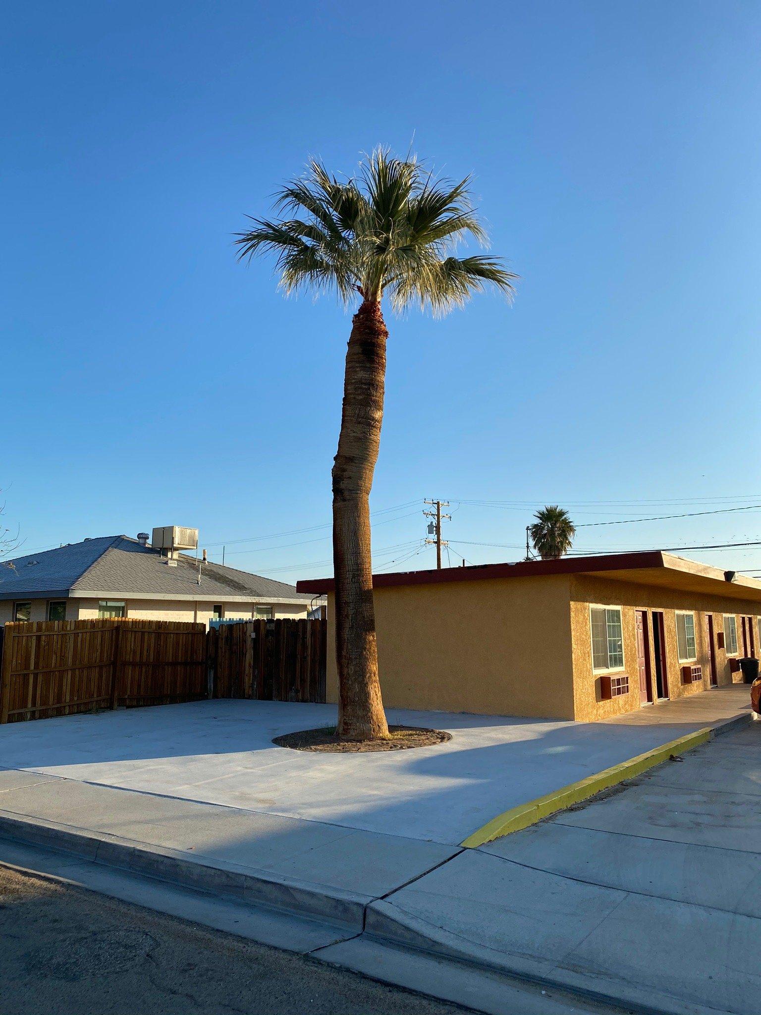
Places to stay
Hang your (vacation) hat in a place that’s just your style.