Rose Bud, AR
Rose Bud, AR Map
Rose Bud is a US city in White County in the state of Arkansas. Located at the longitude and latitude of -92.079167, 35.332222 and situated at an elevation of 192 meters. In the 2020 United States Census, Rose Bud, AR had a population of 494 people. Rose Bud is in the Central Standard Time timezone at Coordinated Universal Time (UTC) -6. Find directions to Rose Bud, AR, browse local businesses, landmarks, get current traffic estimates, road conditions, and more.
Rose Bud, Arkansas, is a small town that offers a glimpse into the serene and pastoral life of the American South. Known for its tight-knit community and rural charm, Rose Bud is a place where visitors can experience a slower pace and enjoy a simpler lifestyle. The town doesn't boast large attractions but is cherished for its local events and warm hospitality. A notable spot in Rose Bud is the Rose Bud General Store, which serves as a hub for locals and visitors alike, offering a range of goods and a taste of the local culture. The town's history is steeped in its agricultural roots, with many of its traditions and events celebrating this heritage.
Nearby cities include: Mount Vernon, AR, Quitman, AR, Heber Springs, AR, Enola, AR, El Paso, AR, Letona, AR, Guy, AR, Pangburn, AR, Tumbling Shoals, AR, Wilburn, AR.
Places in Rose Bud
Dine and drink
Eat and drink your way through town.


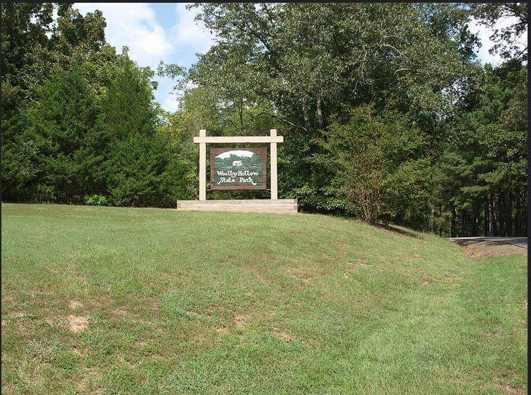
Can't-miss activities
Culture, natural beauty, and plain old fun.


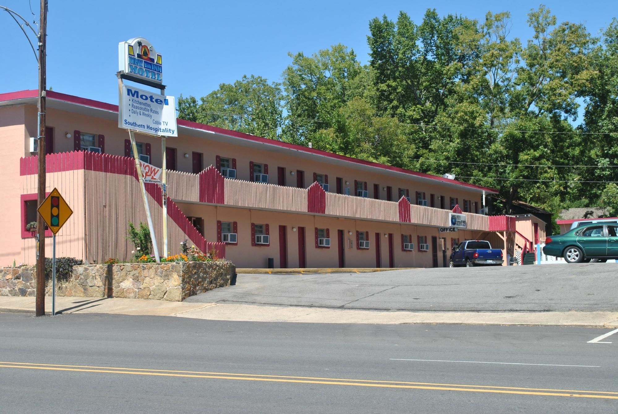
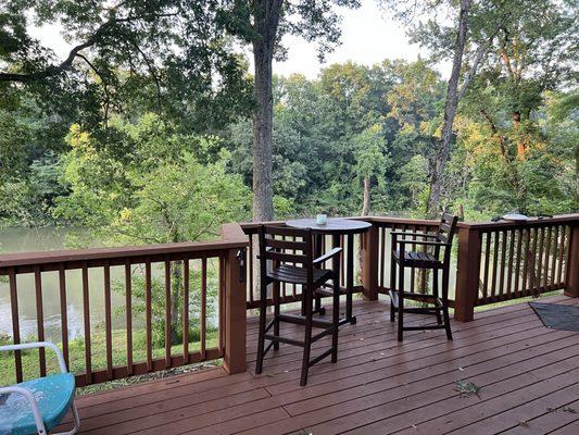
Places to stay
Hang your (vacation) hat in a place that’s just your style.