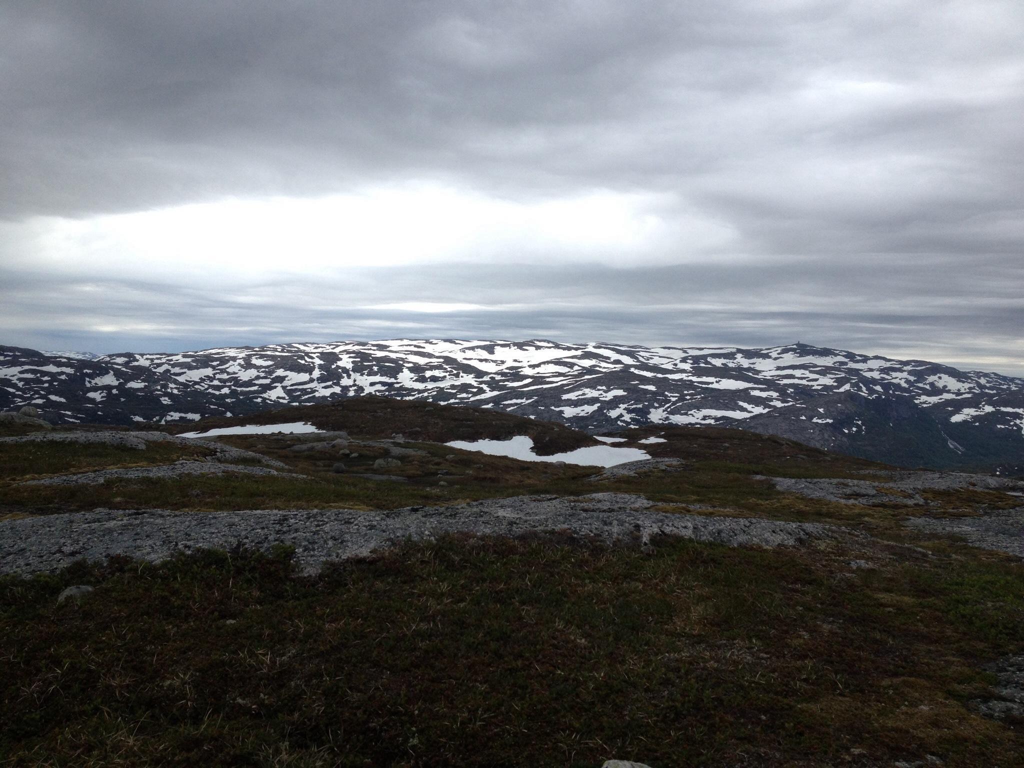
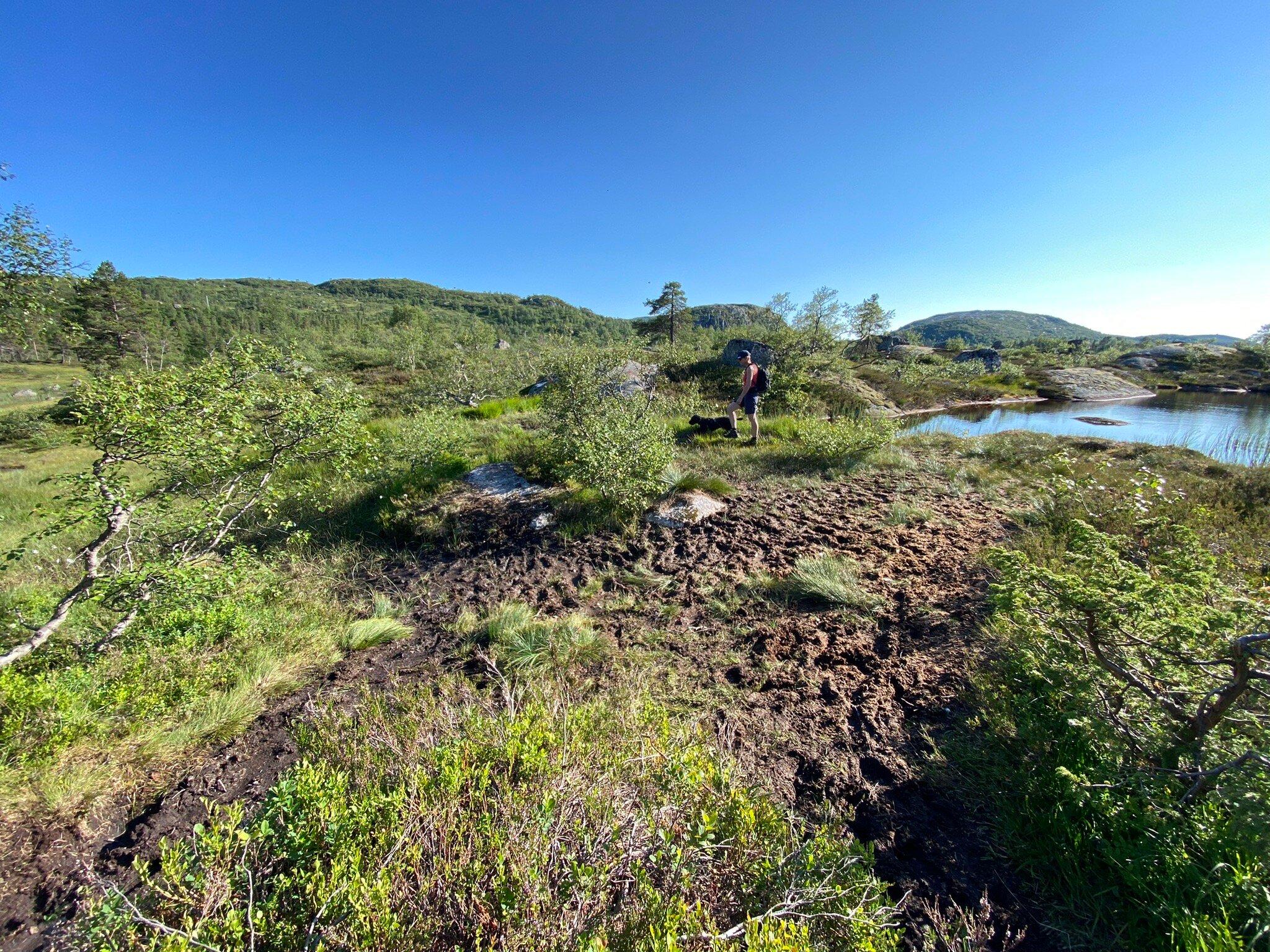
Starting Point:The walk starts on Lyseveien between Sirdal and Lysebotn, about 1 km west of Grydalen. You can park on Borsteinshyttens carpark, located on the opposite side of the road in relation to the trail. Description: Start walking in a north-west direction. After approx 5 minutes cross the stream descending from Matupstjodne tarn and follow the left side of the stream gently upwards. The path here runs along a small hillock on the south side of the tarn. Gradually climb up towards the paths highest point. At 970 meters there is a magnificent view across the Lyseheiane. From here start the descent towards Andersvatnet lake. You must first zig-zag your way down ¾ of a steep ravine and then follow the rock face of Vardekleivane on the right. After approx 100 metres cross the stream that runs from Andersvatnet lake. (Carefully follow the markings and your GPS if you have one).The path continues to the west and the terrain becomes gradually hillier and it may be difficult to find your bearings. You will pass several lakes before coming to a ravine that takes you down to Pollen (tarn). The path zig-zags down this ravine but you get a great view of the waterfall cascading down from Mount Toknuten. At the bottom of the ravine you cross the stream running from Andersvatnet lake. From here, the path gradually ascends on bare rock before you come to a valley to follow. Towards the top of the valley you can see the high mountains of the Lysedalen valley on your right and you get an idea of what awaits you later on on the walk. Lysedalen valley is one of the region's wildest valleys, with their 800/900 metre steep mountainsides that plunge into almost impassable terrain. At the end of the valley you climb over a boulderfield before continuing down the ravine to a green sheltered spot with fresh mountain water. This is a perfect spot for a break! Follow the stream down to where it winds 90 degrees around the mountains down towards Lysedalen valley. You can't fail to be impressed! The magnificent mountains that make up Lysedalen valley greet you in all their splendour. This is not the place for those who may have fear of heights! Like the stream you must also change direction (northwards). Allow yourself approx 1.5 hour to get down the steep mountainside. Carefuly zig-zag your way down. You will copme to a birch forest at approx 420 metres. It may be difficult to find the path here, as it also zig-zags through the dense forest. Look for stone cairns and red marks on the trees in the forest. When you get to a prominent overhang, the path turns 90 degrees towards the innermost farms you can see far below in Lysebotn. At 85 metres turn right, towards the spot where you must cross the river by climbing over some large rocks. There is a wire rope attached to one of the rocks, which makes crossing easy. Follow the right side of the river westwards. You then come to a grazing area for sheep, and pass through a gate that takes you onto the land of the innermost farm in Lysebotn. Remember to close the gate behind you. Cross the grazing land and use the steps that have been erected for you to cross the fence at the other end. After 100 metres you come to another fence that will lead you through a little gate into the parking area at the farm. For a detailed description including maps and information etc buy the guidebook 'Hiking in Sirdal' which includes Kjerag and Sirdals Seven Summits.