Hadvardshei Summit

tripadvisor logo

(1)

Call

Photos

Adneram Aadneram 4443
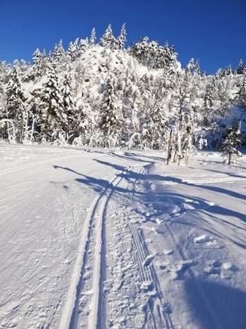
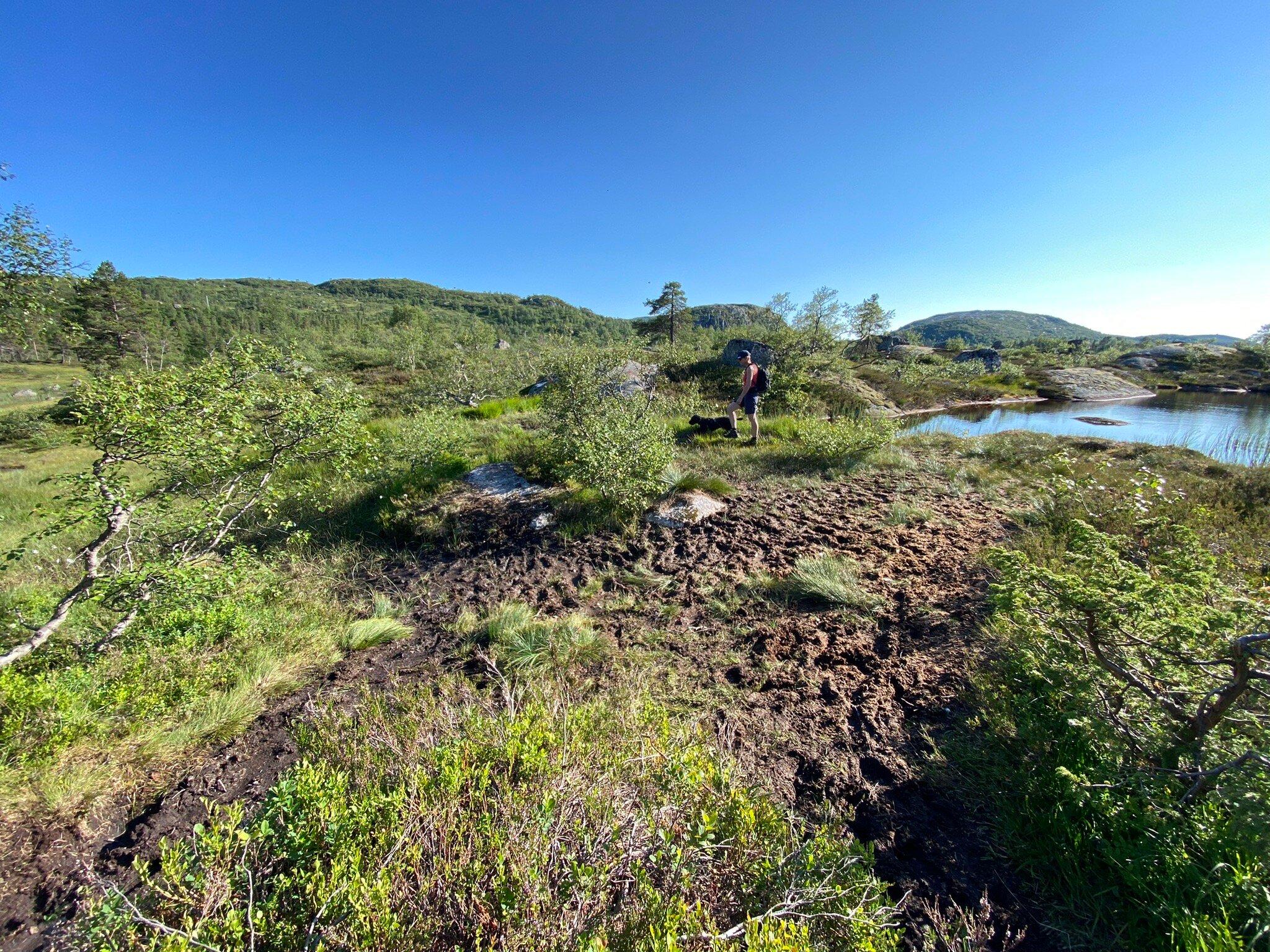
Starting point: park at the upper carpark at adneram ski lift located just off Bergetjodn. Description: from the carpark, follow the road/ski trail that runs down the mountain, at the first intersection turn right and follow the trail that runs south of the lake. At the end of the lake you will see three tracks, follow the middle one. On top of the hill, turn right and follow the trail to the top of the ski lift . Allow about 25 minutes to the top of the lifts. Cross under the lifts and continue northeasternly along the narrow path. In general you should follow the ridge of the mountain. After a short journey you will reach a small marsh, here turn right down a small glen, before again going up the mountain edge, first through a small birch wood, then across two small valleys. After approximately 15 minutes walk round the mountain, bearing north on the small mound from which you see Rubedalstjodna on the left handside, and Hassteinstjodn in the distance on the right. Go down the hill and cross the valleys that cross here, before you climb up the slightly steeper slopes in a northwesterly direction. When the path becomes less visible continue up the mountain ridge. Keep to the left and follow the stone cairns that will lead you back to a small tarn. Allow 25 minutes. At the tarn, turn west. You cross a stream that flows out of the tarn and pass similar small tarns. After a short anount of time you will cross the valley creek that runs east-west. Hadvardshei is now to your left, take the easiest road to the top where you can enjoy a 360 degree view over the mountain moors. For a detailed description including maps and information etc buy the guidebook 'Hiking in Sirdal' which includes Kjerag and Sirdals Seven Summits. Click here for Maps and GPS Coordinates Accommodation: Suleskard Fjellsenter Stavanger Turistforening Contact: Arild Rosnes +47 51 84 02 17

Reviews

tripadvisor logo
5.01 reviews
Photo of Vindensskygge
Beautiful
6/15/2015

This is a lovely summit, can be aproached from severeal angles. research you clothing needs and have...

Own this business?
See a problem?

You might also like

Haugen to Fidjeland

Haugen to Fidjeland

1
Starting point: Start on foot or take a taxi from Haugen Hytteutleie og Camping to the large rock by the barrier Honedalen (3.8 km). The trail begins just after the barrier. Description:The path starts at a large rock by the barrier in Honedalen valley where you head off in a northern direction. After a 5-10 minute walk you will reach Honetjodn where there is a lovely welcoming beach for hot summer days! Continue around the tarns turning north-east towards Honestol and then from here in a northernly direction up Urdalsskaret. Allow 30 minutes to the top, before you begin the descent to Finnstol (10 minutes). Continue north to Finnstoldalen, along the left side of the stream. The stream becomes livelier the further north you walk. Soon you will see the jagged mountains of Svartups mountain and Jogledalen valley on your right handside. At the holiday cabins at Smolasen, you come to a sheep fence with a gate enabling you to pass easily. Remember to close the gate behind you! After a few minutes you will come to a road that leads up to the cabins (Smolasen). Follow it until you reach a bridge where you can safely cross the Joglaelven river and walk up to Sirdal Hoyfjellshotell. Alternatively, you can continue straight ahead to Fidjeland Hytteutleige (cabin rental) You can see the Degdammen dam on the way down. It was built between 1968 and 1970 and is 90 metres high. The crown of the dam is 390 metres. The dam is a rock-fill dam where moraine has been used. The moraine comes from the housing development at Fidjeland. For a detailed description including maps and information etc buy the guidebook 'Hiking in Sirdal' which includes Kjerag.
NorwayHadvardshei Summit