


Arapahoe, WY
Arapahoe, WY 82510
Arapahoe Map
Arapahoe is a census-designated place (CDP) in Fremont County, Wyoming, United States. The population was 1,766 at the 2000 census. A Catholic mission was founded here in 1884. St Stephen's Mission Church, located near Arapahoe, is part of the Catholic mission.
Arapahoe is located at 42°58?48?N 108°26?44?W / 42.98°N 108.44556°W / 42.98; -108.44556 (42.979965, -108.445510).
According to the United States Census Bureau, the CDP has a total area of 31.6 square miles (81.8 km²), of which, 31.4 square miles (81.2 km²) of it is land and 0.2 square miles (0.6 km²) of it (0.73%) is water.
Places in Arapahoe
Dine and drink
Eat and drink your way through town.


Can't-miss activities
Culture, natural beauty, and plain old fun.

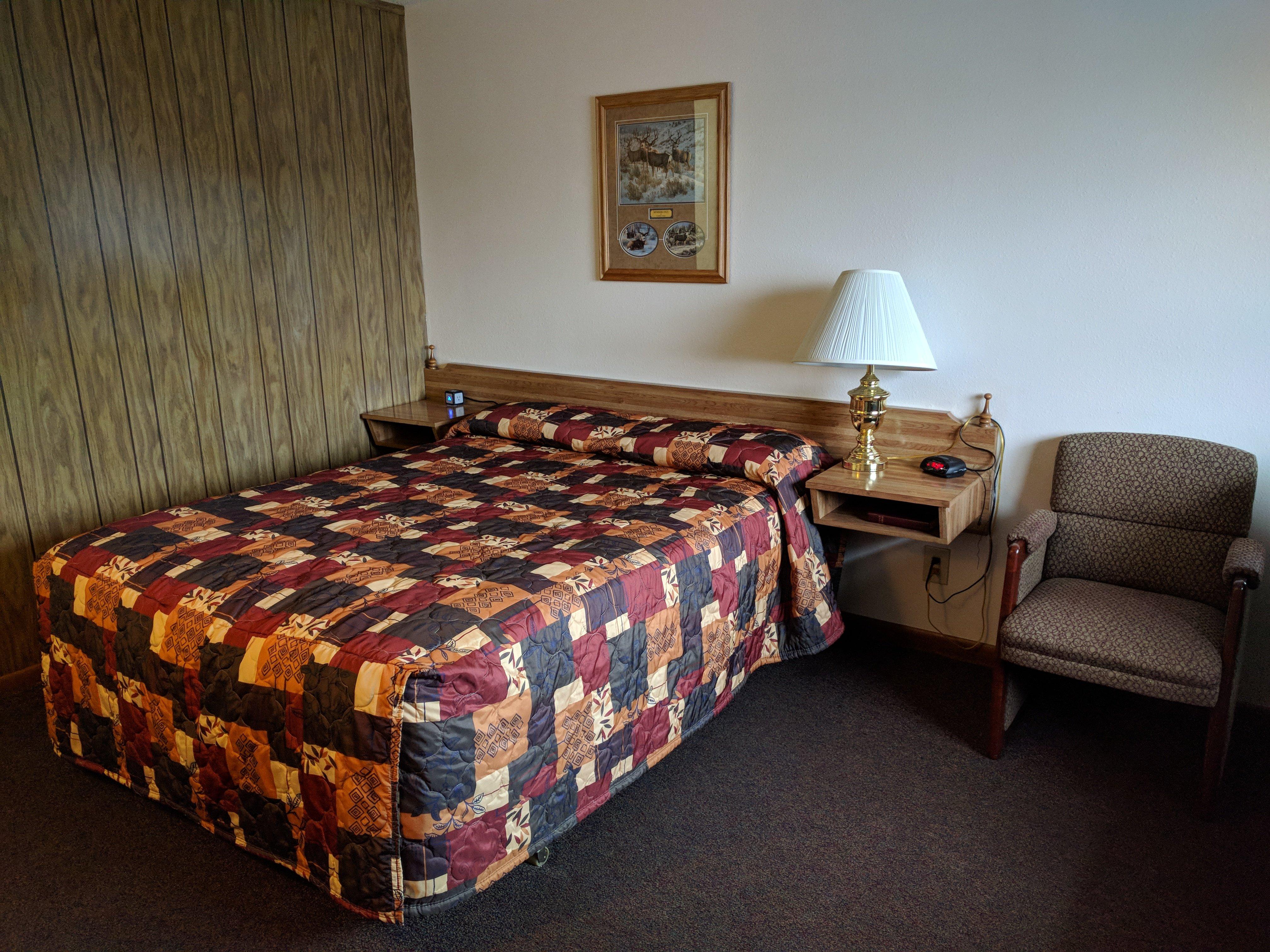
Places to stay
Hang your (vacation) hat in a place that’s just your style.
See a problem?