


Stanley, WI
Stanley, WI 54768
Stanley Map
Stanley is a city in Chippewa and Clark counties in the U.S. state of Wisconsin. The population was 1,898 at the 2000 census.
The community was mapped in 1881 as a logging town. Stanley became a village in 1895 and a city in 1898. After the decline of logging, agriculture, particularly dairy farming, became important. On May 20, 2002, the city annexed a portion of land in the Town of Thorp in Clark County.
Stanley is located at 44°57?41?N 90°56?19?W / 44.96139°N 90.93861°W / 44.96139; -90.93861 (44.961277, -90.938528).
Nearby cities include Cadott, Lublin, Gilman, Withee, Jim Falls.
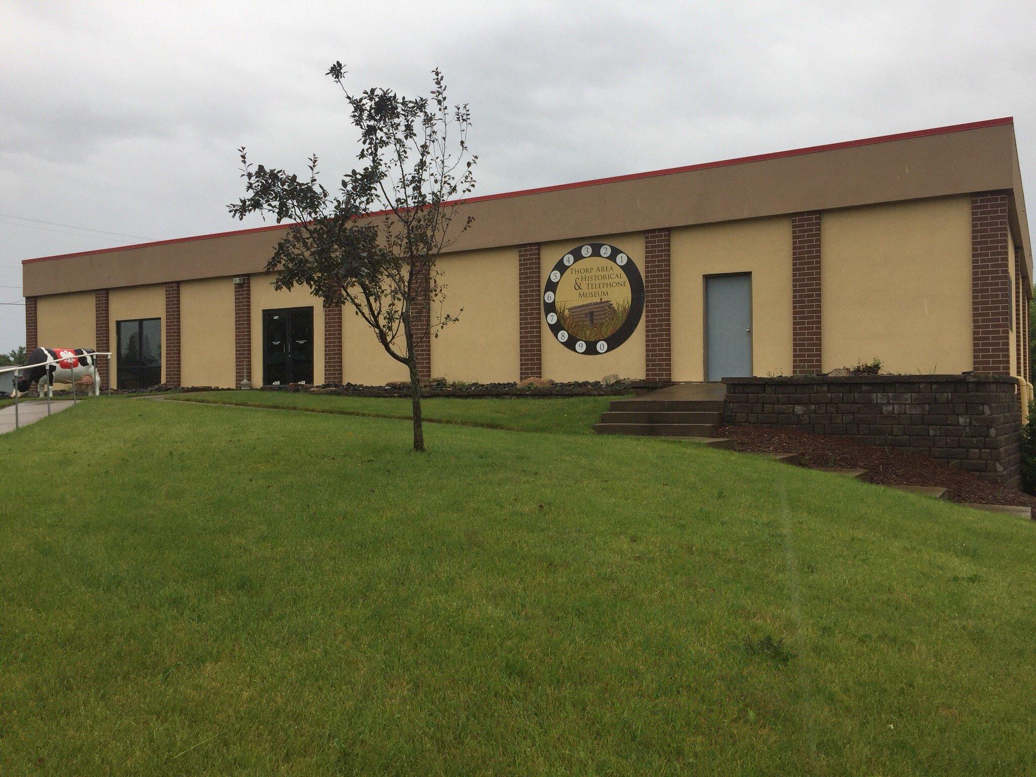
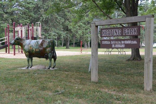
Places in Stanley
Dine and drink
Eat and drink your way through town.


Can't-miss activities
Culture, natural beauty, and plain old fun.


Places to stay
Hang your (vacation) hat in a place that’s just your style.


See a problem?