Phillips, WI
Phillips Map
Phillips is a city in Price County, Wisconsin, United States. The population was 1,675 at the 2000 census. It is the county seat of Price County.
Phillips is located at 45°41?30?N 90°24?7?W / 45.69167°N 90.40194°W / 45.69167; -90.40194 (45.691560, -90.401915). It is on highway SR 13, 77 miles north of Marshfield, and 74 miles south of Ashland.
According to the United States Census Bureau, the city has a total area of 3.5 square miles (9.0 km²), of which, 2.8 square miles (7.2 km²) of it is land and 0.7 square miles (1.8 km²) of it (20.46%) is water.
Nearby cities include Prentice, Catawba, Kennan, Park Falls, Ogema.
Places in Phillips
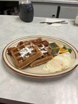
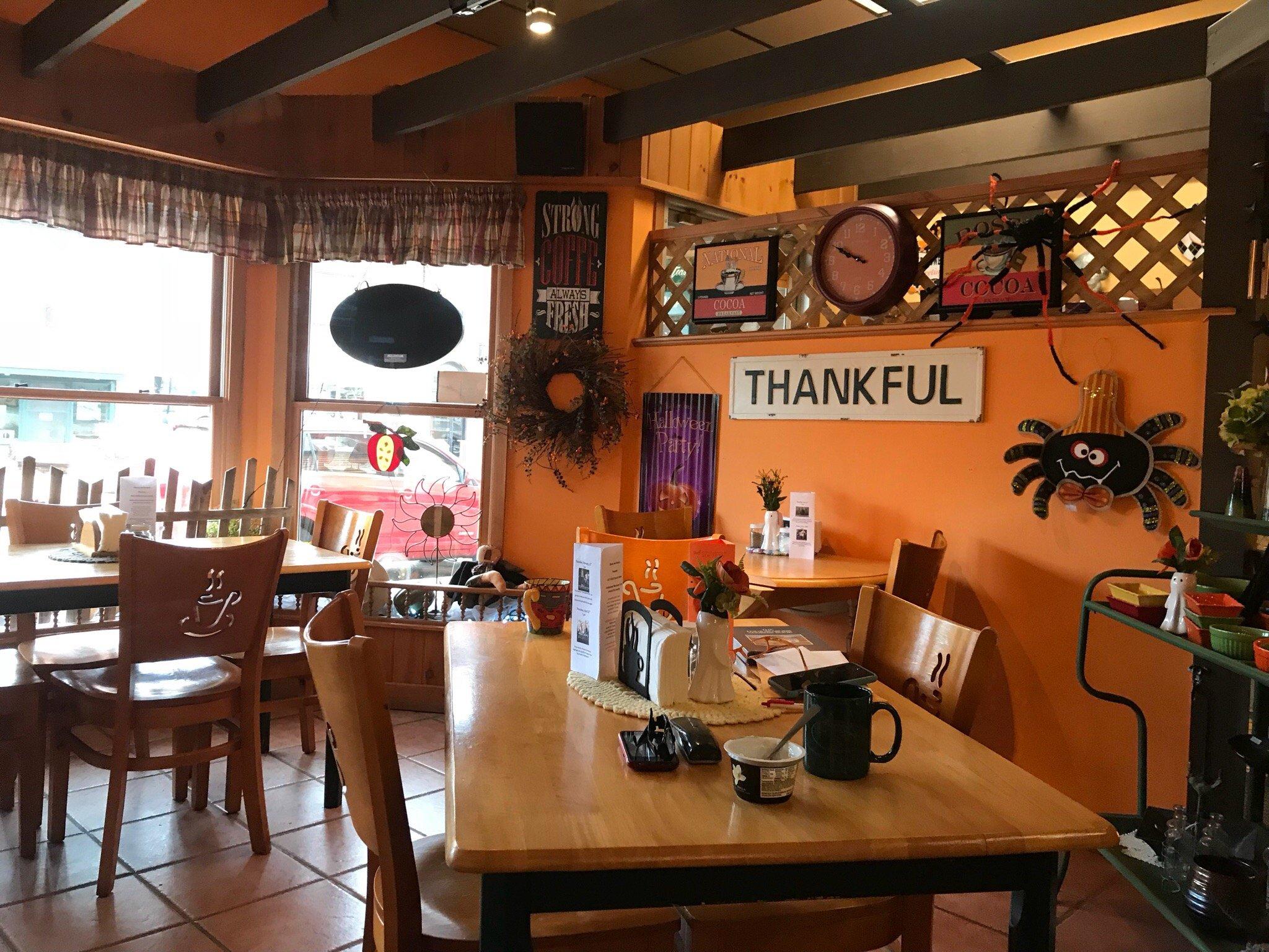
Dine and drink
Eat and drink your way through town.

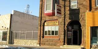
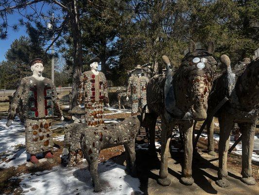
Can't-miss activities
Culture, natural beauty, and plain old fun.
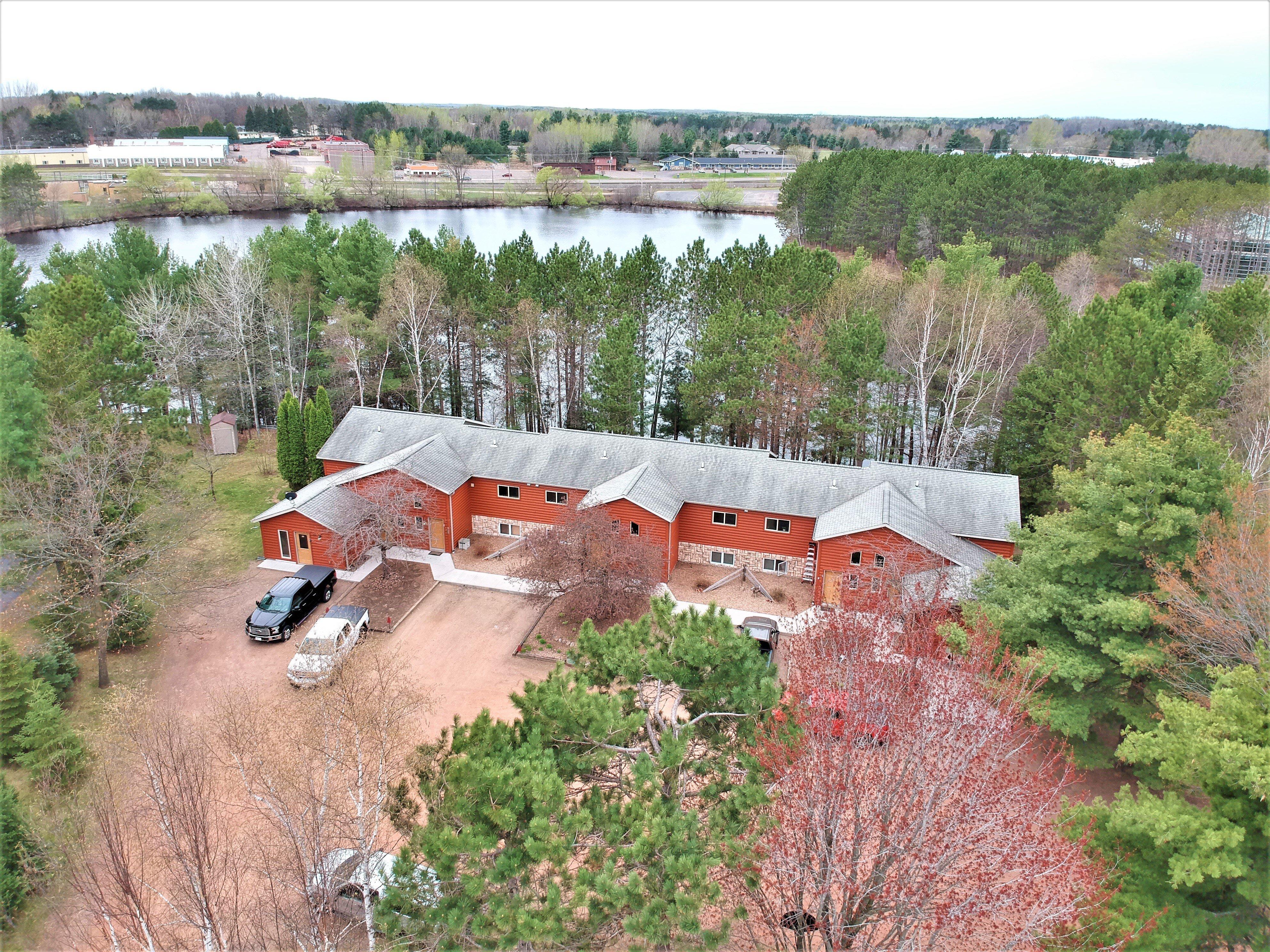
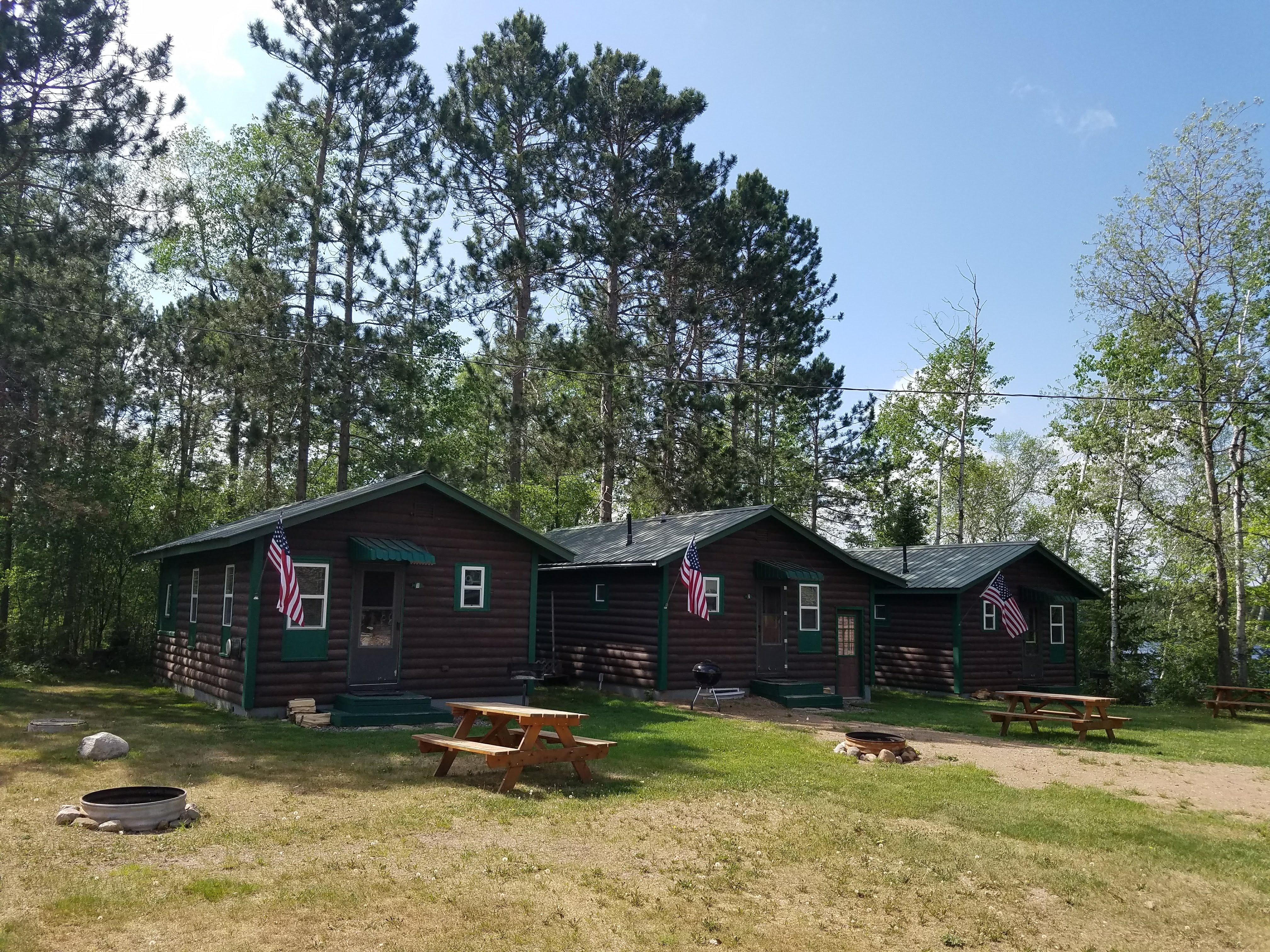
Places to stay
Hang your (vacation) hat in a place that’s just your style.