


Hollandale, WI
Hollandale, WI 53544
Hollandale Map
Hollandale is a village in Iowa County, Wisconsin, United States. The population was 283 at the 2000 census. It is part of the Madison Metropolitan Statistical Area.
Hollandale is located at 42°52?34?N 89°56?10?W / 42.87611°N 89.93611°W / 42.87611; -89.93611 (42.876139, -89.936023).
According to the United States Census Bureau, the village has a total area of 0.7 square miles (1.8 km²), all of it land.
Nearby cities include Blue Mounds, Dodgeville, Argyle, Mineral Point, Mount Horeb.
Places in Hollandale
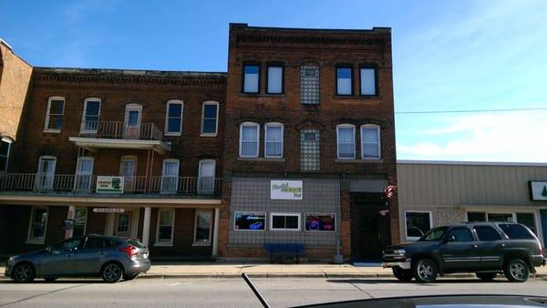
Dine and drink
Eat and drink your way through town.


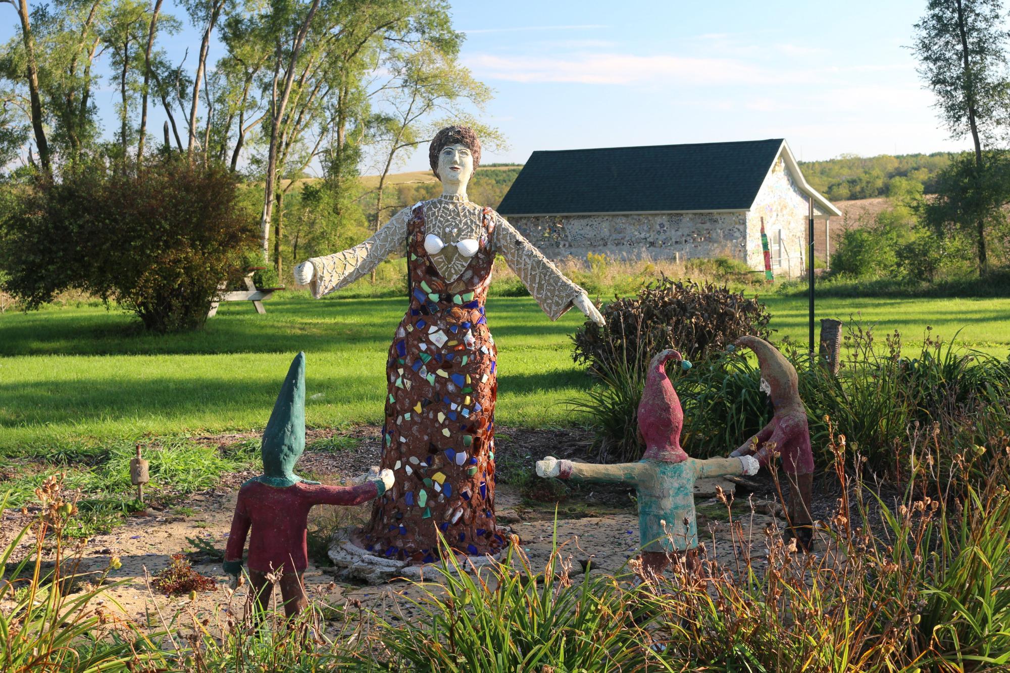
Can't-miss activities
Culture, natural beauty, and plain old fun.


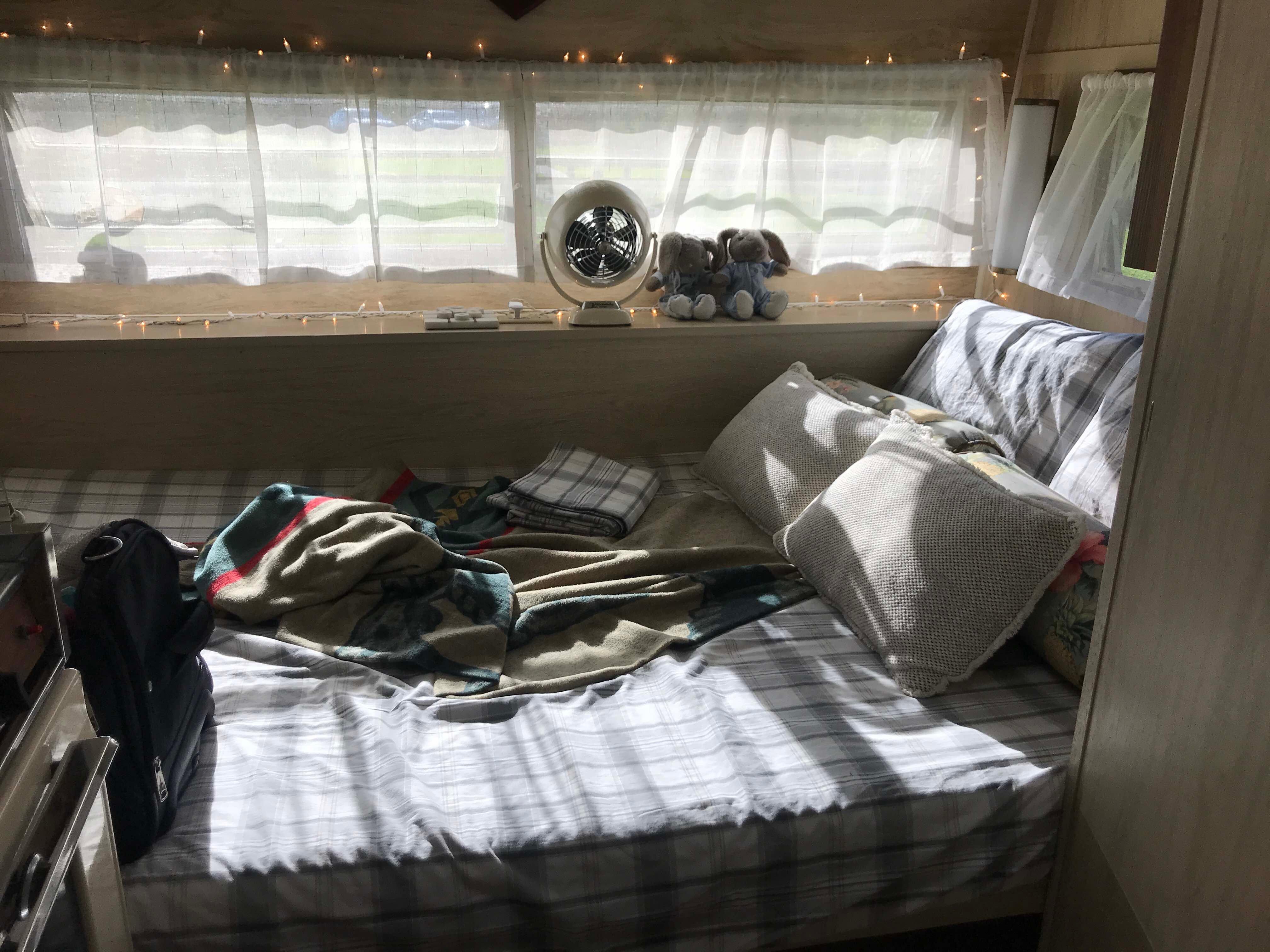
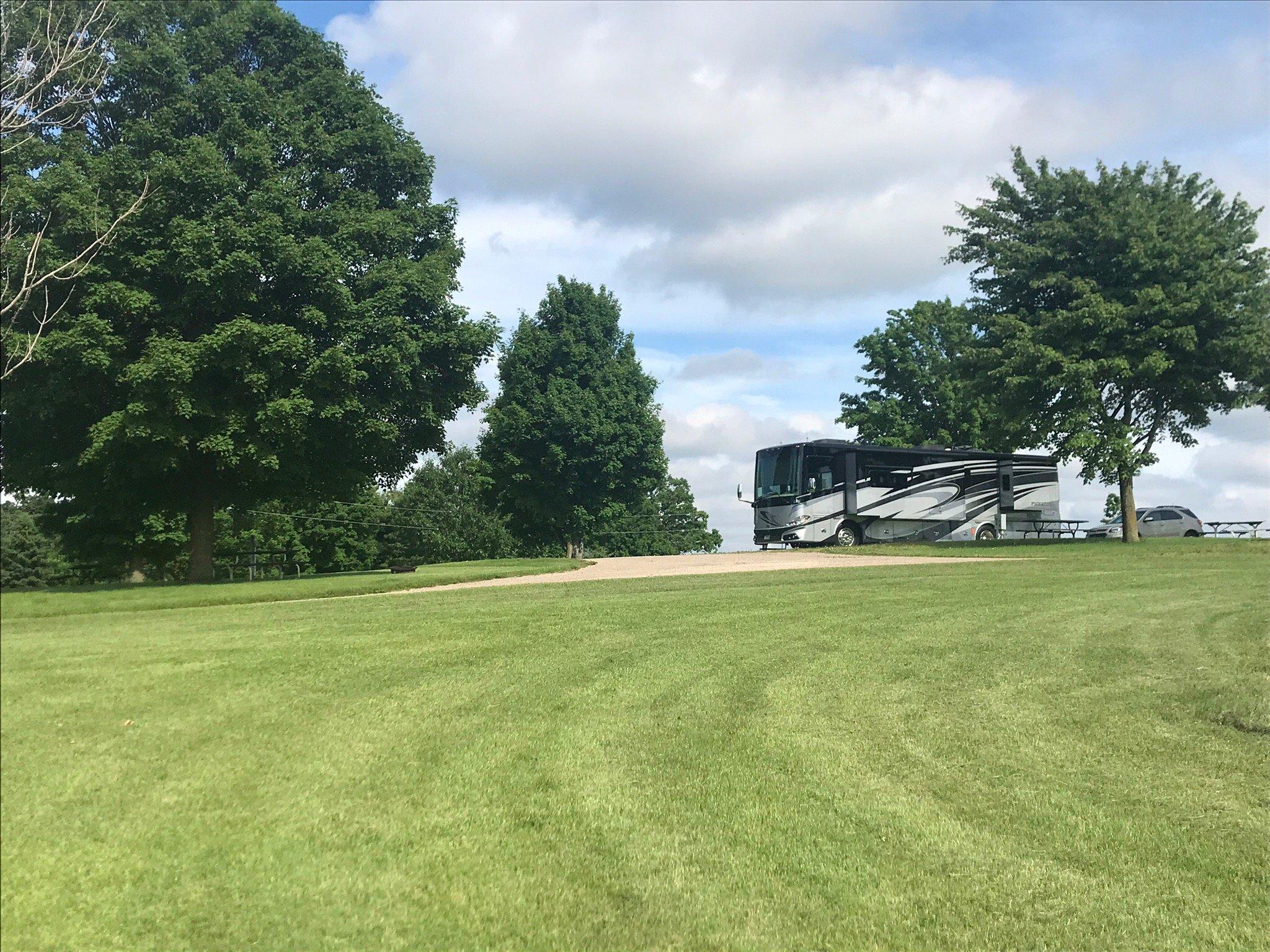
Places to stay
Hang your (vacation) hat in a place that’s just your style.
See a problem?