


Brownsville, WI
Brownsville, WI 53006
Brownsville Map
Brownsville is a village in Dodge County, Wisconsin, United States. The population was 570 at the 2000 census.
Brownsville is located at 43°37?1?N 88°29?28?W / 43.61694°N 88.49111°W / 43.61694; -88.49111 (43.617063, -88.491134).
According to the United States Census Bureau, the village has a total area of 0.4 square miles (1.0 km²), all of it land.
Nearby cities include Campbellsport, Waupun, Kewaskum, Burnett, Horicon.
Places in Brownsville
Dine and drink
Eat and drink your way through town.


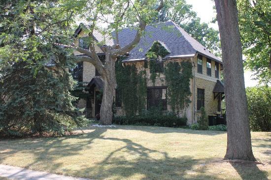
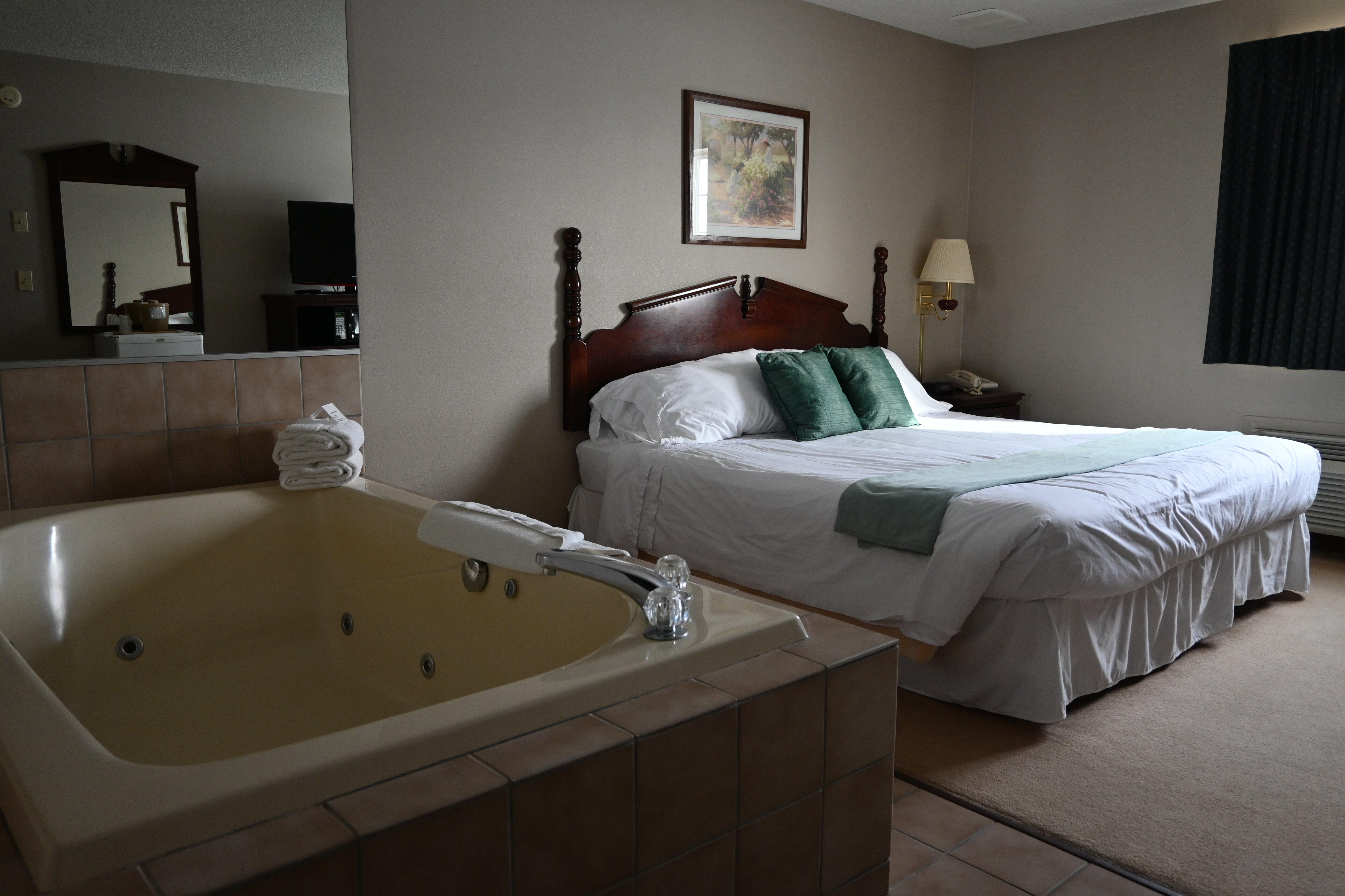
Places to stay
Hang your (vacation) hat in a place that’s just your style.


See a problem?