Kermit, WV
Kermit Map
Kermit is a town in Mingo County, West Virginia, United States. The population was 209 at the 2000 census. Kermit is located along the Tug Fork, opposite Warfield, Kentucky. The Norfolk Southern Railway's Kenova District runs through town.
The community was earlier known by the names "Lower Burning Creek," "East Warfield," and "Warfield." The name was changed to "Kermit" when a post office was established in 1906. Kermit was named for Kermit Roosevelt, son of President Theodore Roosevelt, and incorporated in 1909.
Kermit was located at 37°50?27?N 82°24?34?W / 37.84083°N 82.40944°W / 37.84083; -82.40944 (37.840783, -82.409465) in 2000.
Nearby cities include Warfield, Chattaroy, South Williamson, Williamson, Delbarton.
Places in Kermit
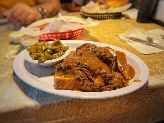
Dine and drink
Eat and drink your way through town.


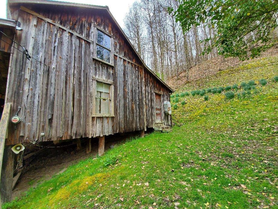
Can't-miss activities
Culture, natural beauty, and plain old fun.
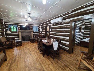


Places to stay
Hang your (vacation) hat in a place that’s just your style.