Clay, WV
Clay Map
Clay is a town in and the county seat of Clay County, West Virginia, United States. The population was 593 at the 2000 census. It is the only incorporated town in Clay County.
Clay was established on the site of a farm that was the site of Clay County's first court meeting following the county's establishment in 1858. The community was initially known by the name of "Marshall," then briefly as "Henry," and then as "Clay Courthouse" and finally Clay. The town and county are both named for U.S. Senator and Secretary of State Henry Clay(1777–1852).
Clay is located at 38°27?46?N 81°4?48?W / 38.46278°N 81.08°W / 38.46278; -81.08 (38.462855, -81.080024), along the Elk River, at an elevation of 708 feet (216 m).
Nearby cities include Clendenin, Dixie, Belva, Summersville, Birch River.
Places in Clay
Dine and drink
Eat and drink your way through town.


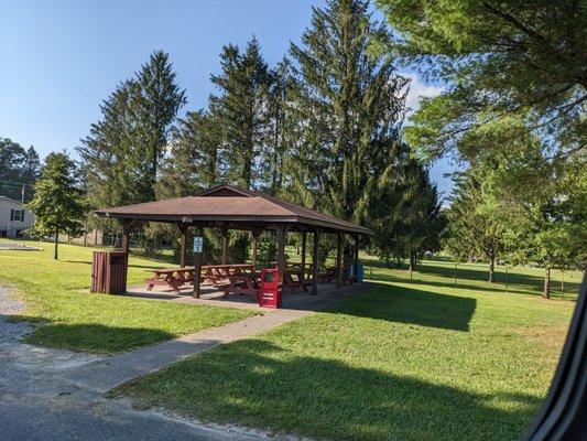
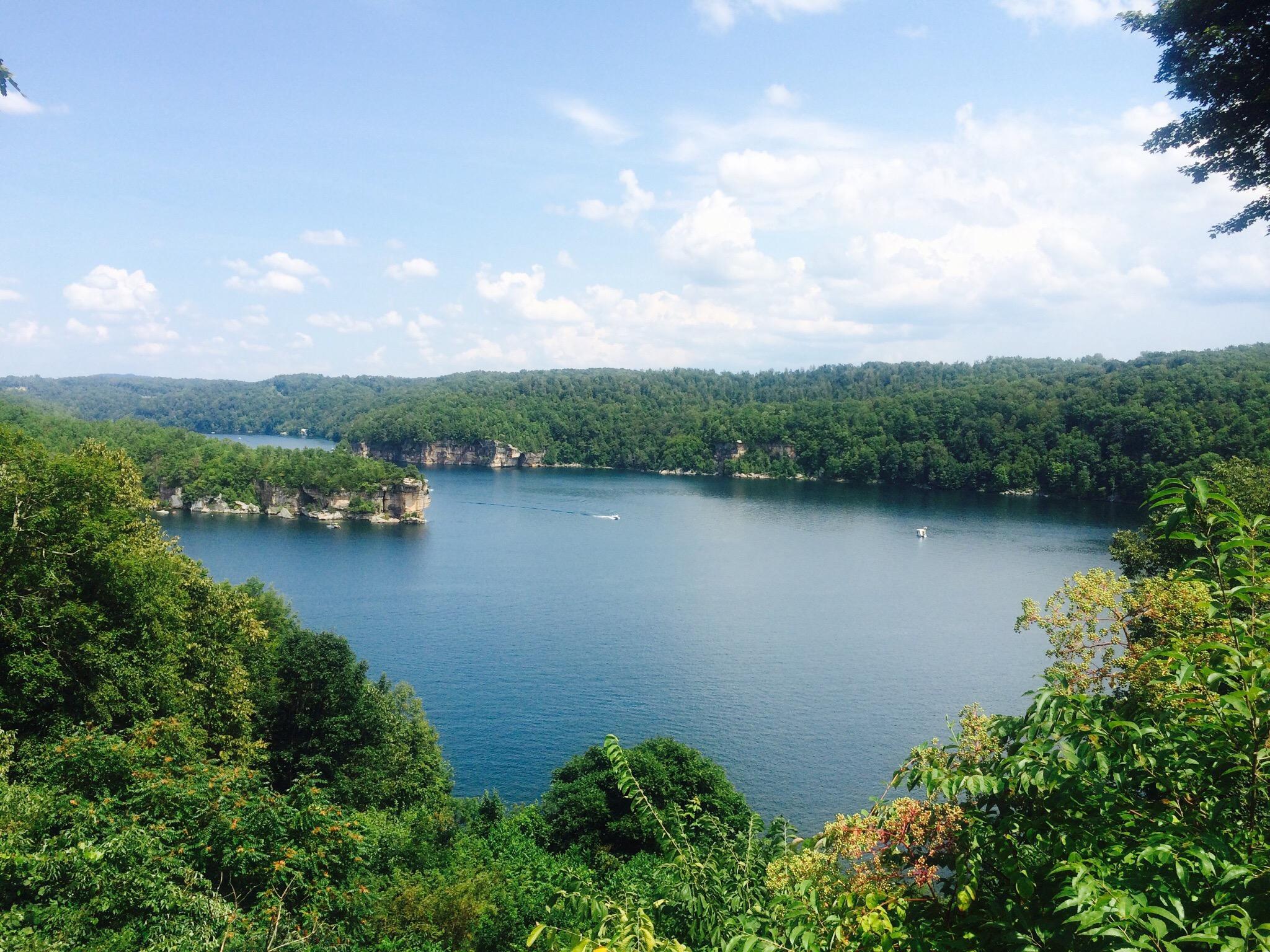
Can't-miss activities
Culture, natural beauty, and plain old fun.


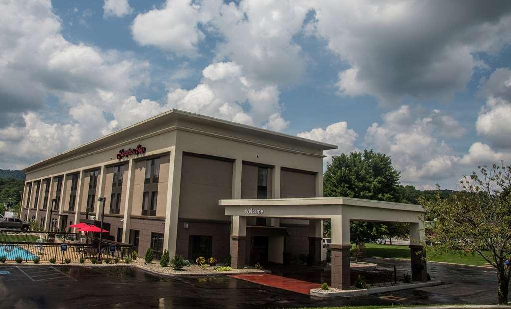
Places to stay
Hang your (vacation) hat in a place that’s just your style.