


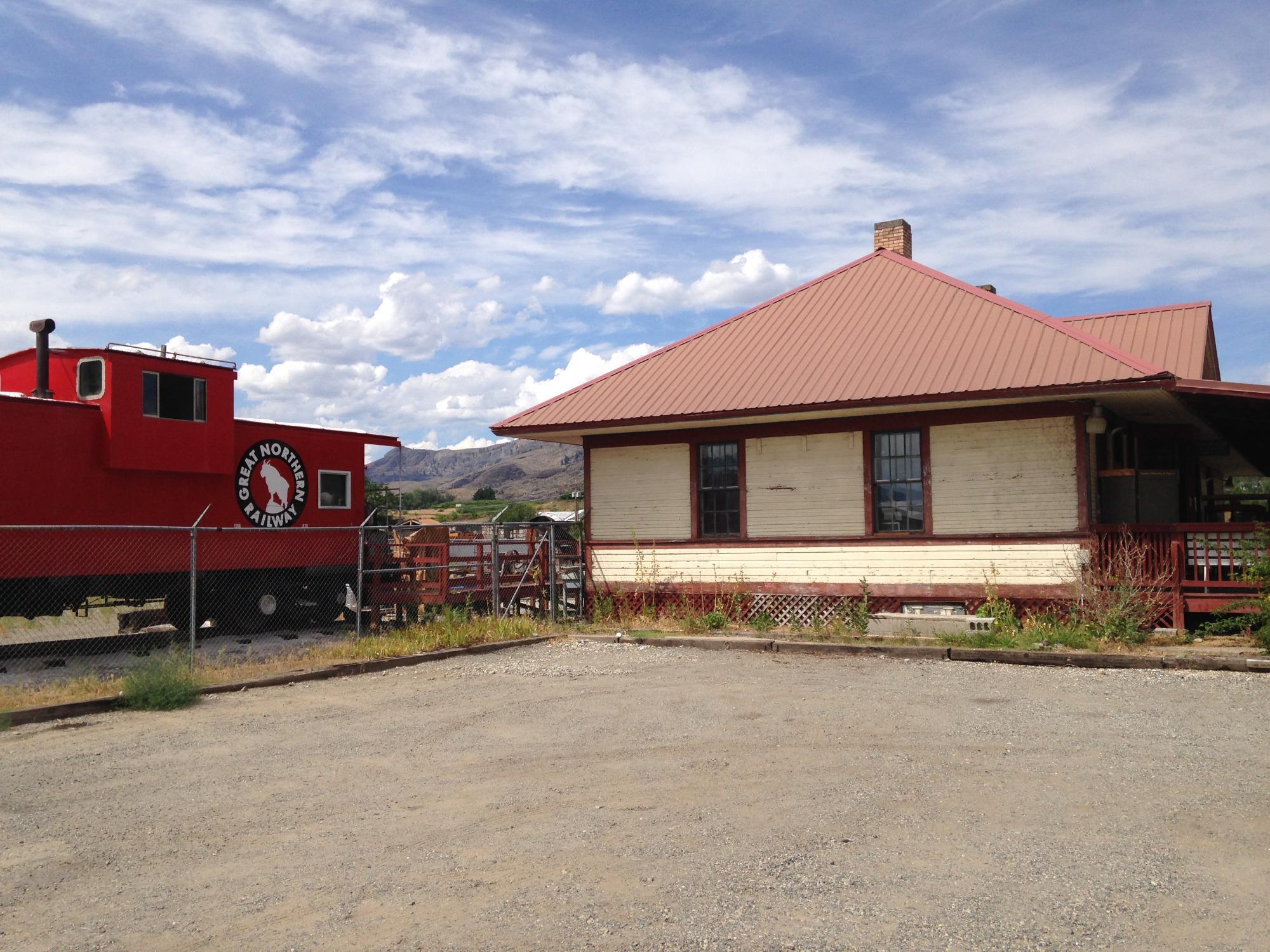
Oroville, WA
Oroville, WA 98844
Oroville Map
Oroville is a city in Okanogan County, Washington, United States. The population was 1,686 at the 2010 census.
Oroville is located at 48°56?19?N 119°26?6?W / 48.93861°N 119.435°W / 48.93861; -119.435 (48.938508, -119.434903).
According to the United States Census Bureau, the city has a total area of 1.2 square miles (3.2 km²), of which, 1.2 square miles (3.2 km²) of it is land and 0.80% is water.
Places in Oroville
Dine and drink
Eat and drink your way through town.


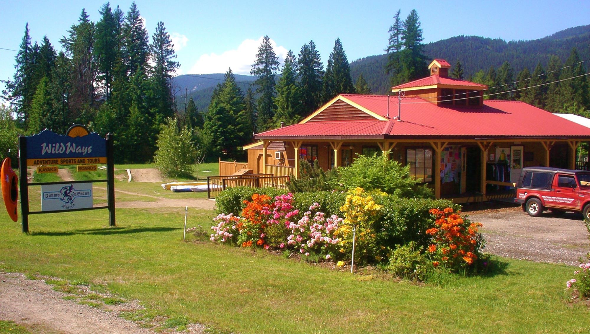
Can't-miss activities
Culture, natural beauty, and plain old fun.


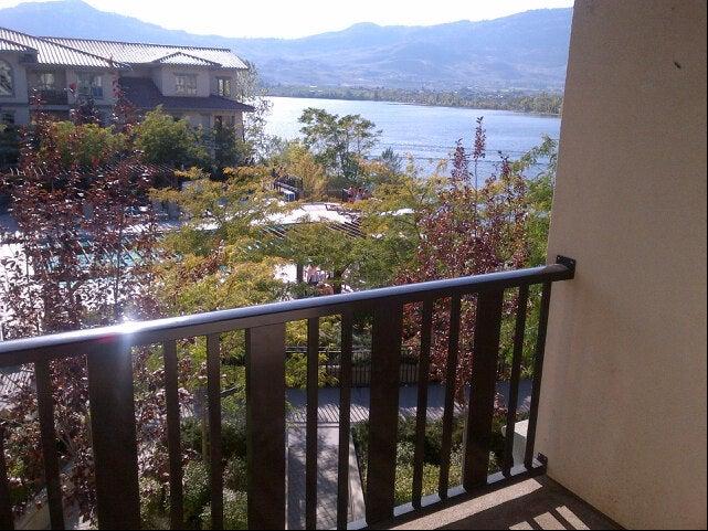
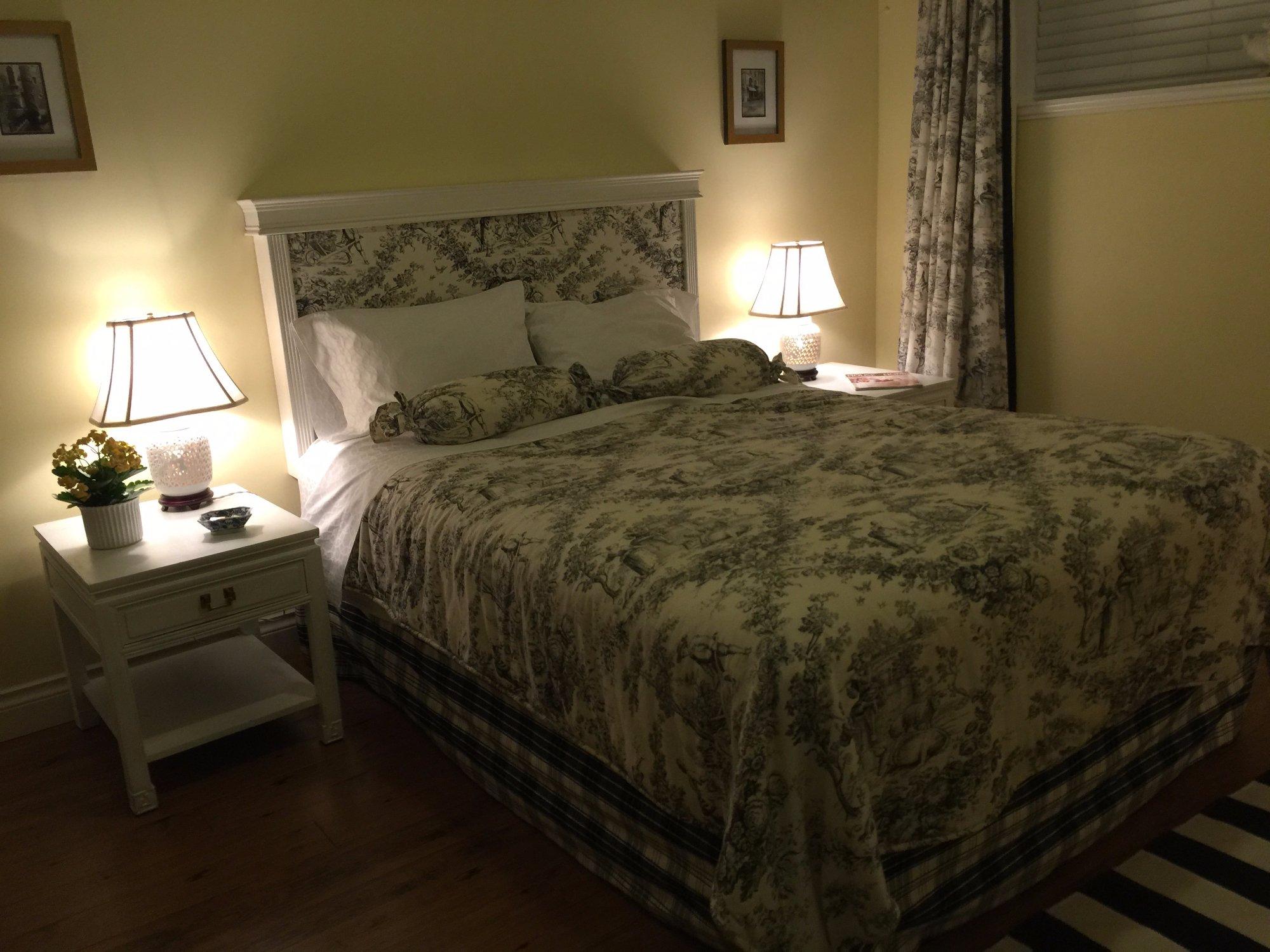
Places to stay
Hang your (vacation) hat in a place that’s just your style.

See a problem?